

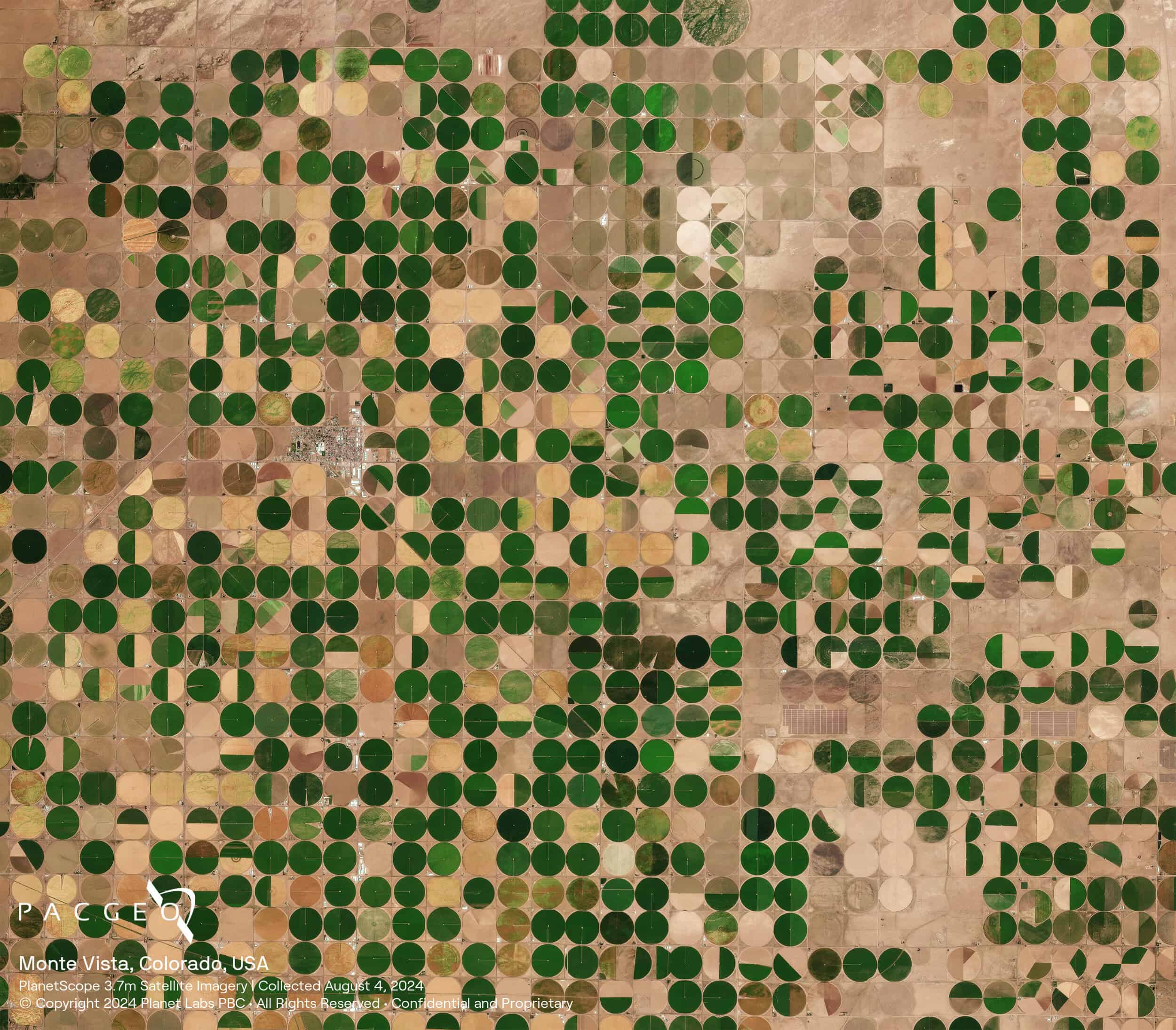
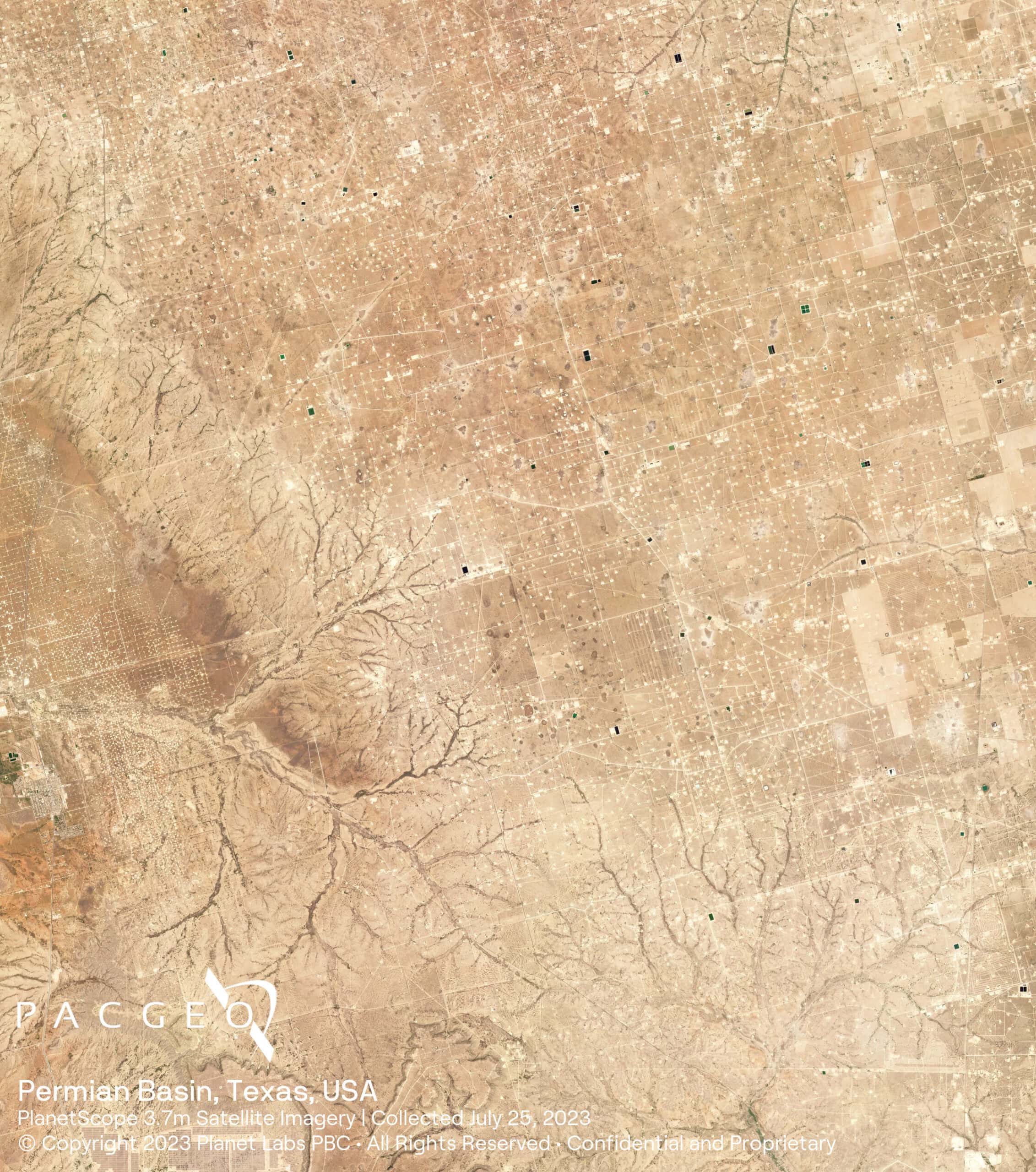
PlanetScope
With hundreds of Dove satellites in orbit, PlanetScope Monitoring offers a continuous and comprehensive view of the world, providing near-daily, 3.7-meter resolution imagery of Earth’s landmass. This extensive coverage enables users to observe areas of interest, detect patterns, monitor infrastructure, and identify changes as they occur, facilitating timely and informed decision-making.
Always on, ensuring constant coverage
Land-cover maps
Land change detection maps
Vegetation monitoring

PlanetScope Specs
Sensor type
Optical
Resolution
Multispectral: 3.7 m
Bands
Coastal Blue
Blue
Green I
Green
Yellow
Red
Red Edge
Near-IR
Orbit
Type: Sun-synchronous
Accuracy
< 10 m RSME
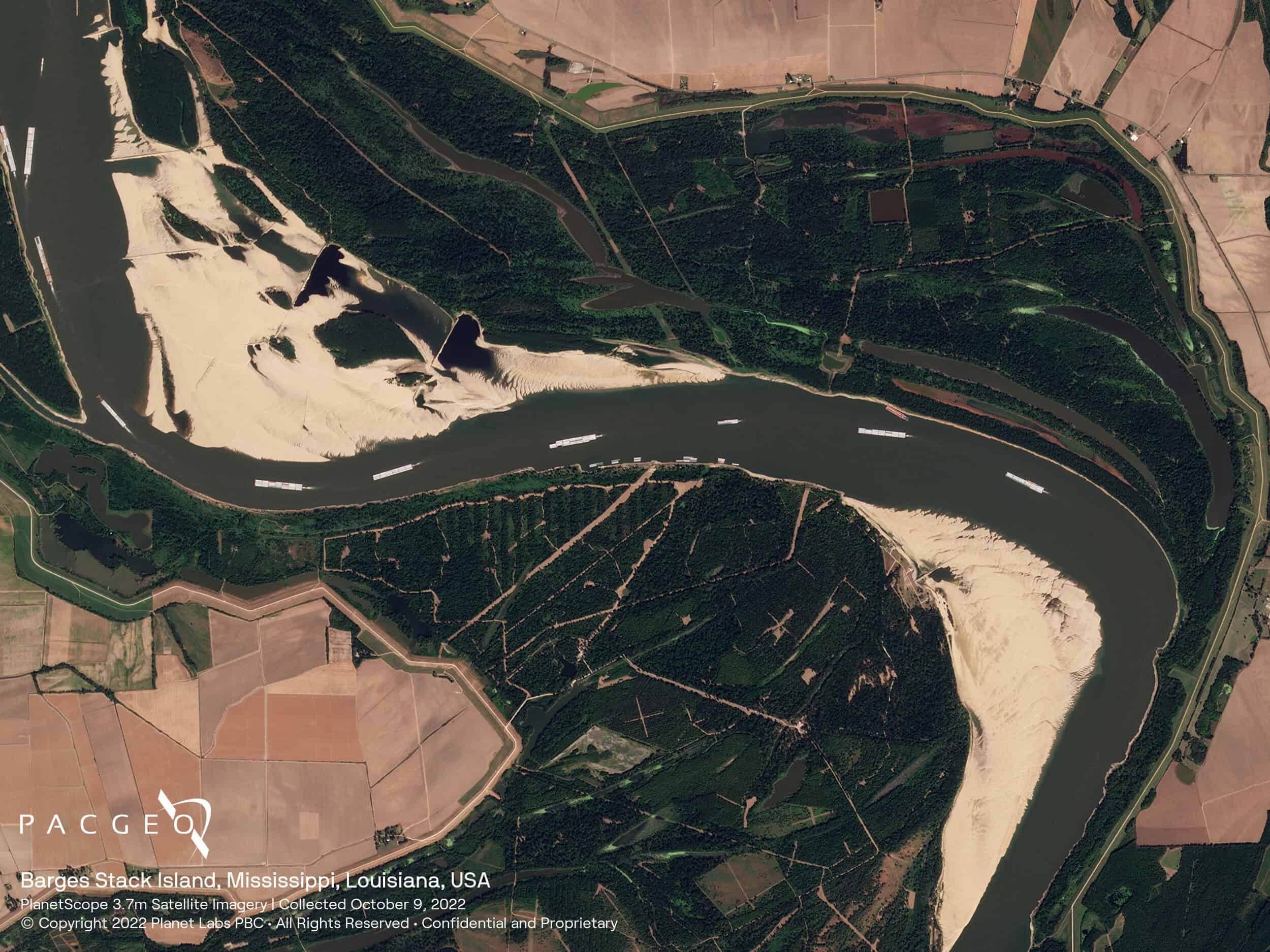
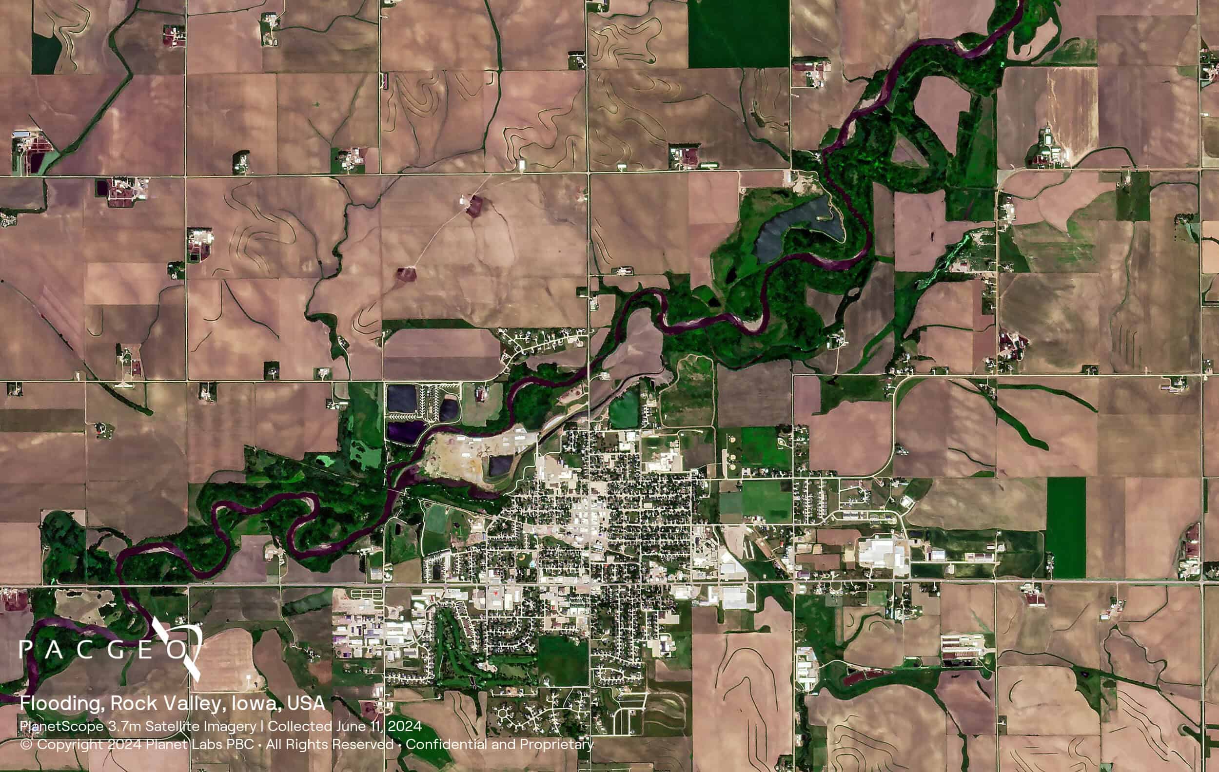
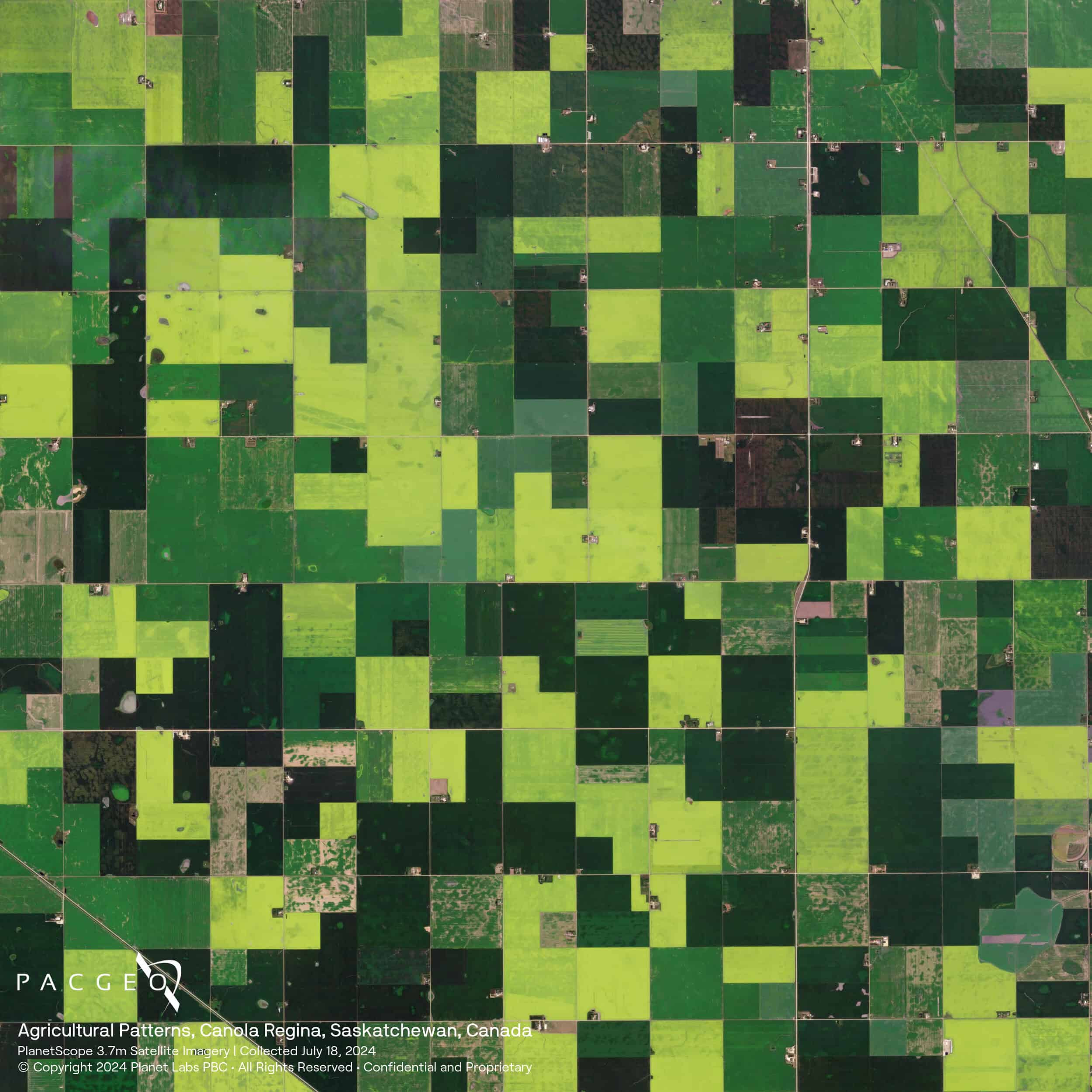
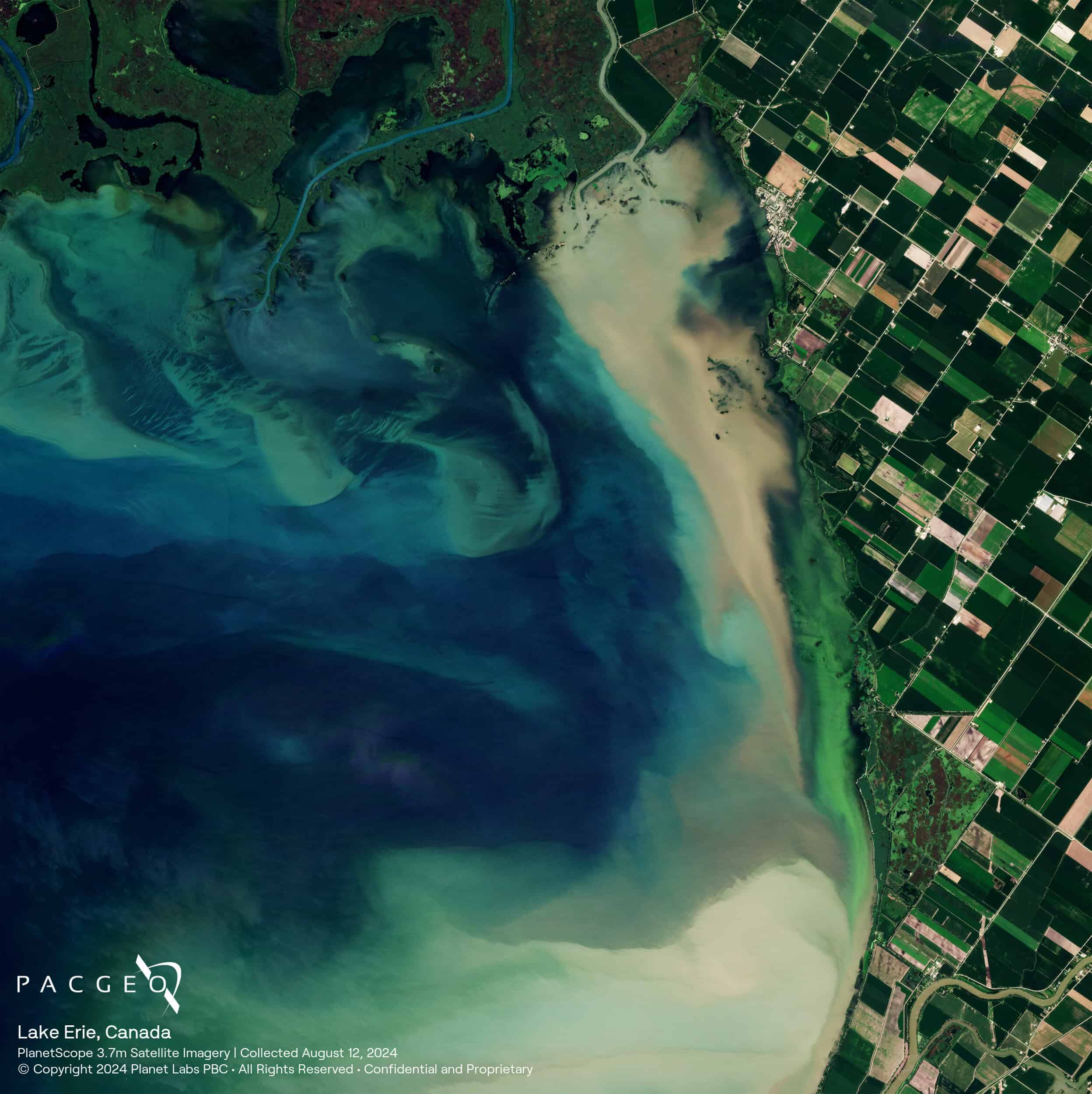
PlanetScope Samples


Unsure if PlanetScope is right for your project?
You shouldn’t have to be an expert in high-resolution satellite imagery to find what you need.
Our team is dedicated to making the process easy for you. All you have to do is tell us the problem. We find the answers from a vendor-agnostic perspective and present you with clear, simple solutions.
Tell us the problem
Explain the situation to us on your terms. We’ll translate it into the world of Satellite Imagery.
Review Your Options
Be presented with a simple choice of the top 2-3 imagery solutions for your project.
Make confident decisions
Know you have the right data in hand to make the critical decisions that keep your project moving forward.


