

AW3D Standard
AW3D Standard is a high-resolution global 3D Digital Elevation Model, derived from optical satellite data. Using a vast archive of satellite imagery and advanced processing technologies, the product was the world’s first pre-produced global 3D Digital Elevation Model; and remains a cost-effective and reliable geospatial dataset trusted worldwide. Suitable for diverse applications including construction, urban planning, disaster management, environmental simulation and exploration, it provides off-the-shelf Digital Surface Models (DSM) and Digital Terrain Models (DTM) at both 2.5 meter and 5 meter resolutions.
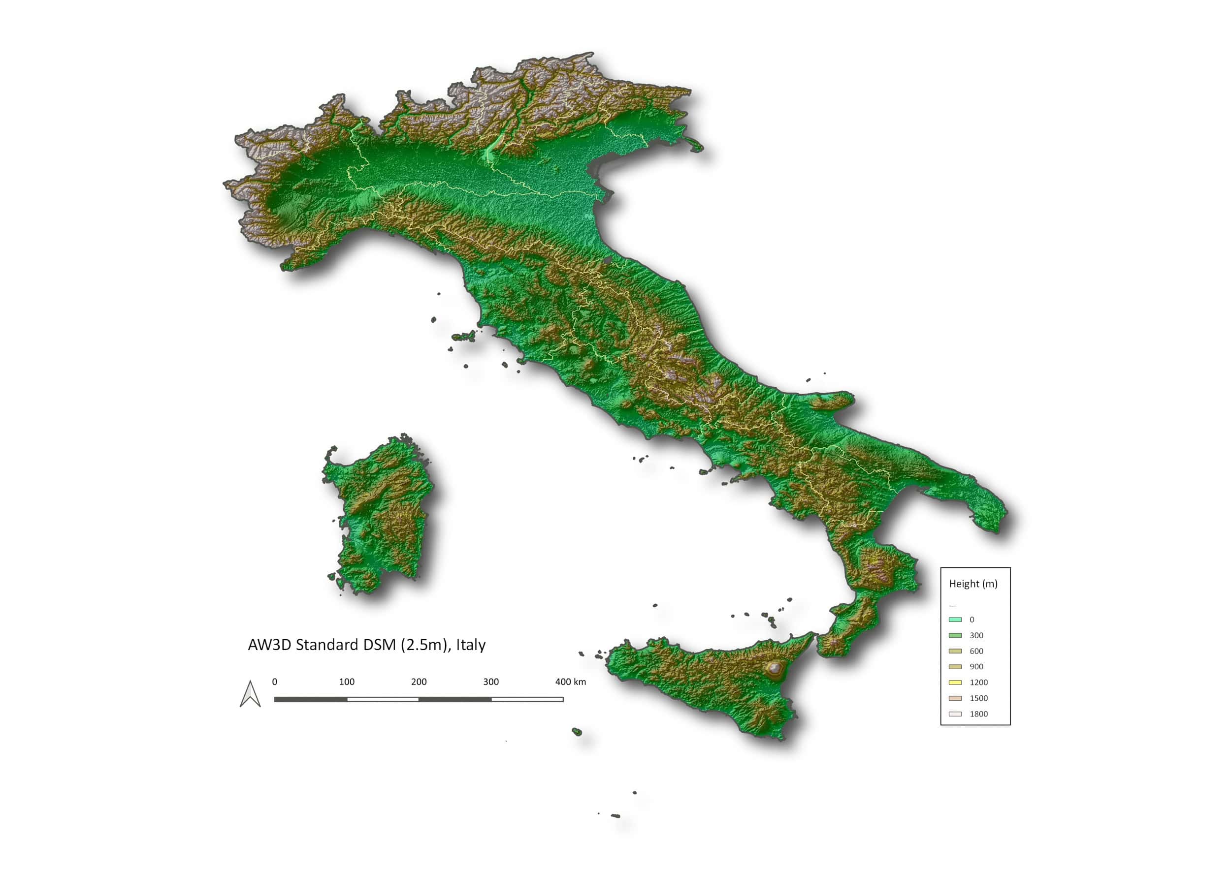
Global DSM and DTM coverage at 5 m and 2.5 m native resolution
Accurate data for even the most remote regions
Delivered in standard GIS formats with ortho and contour options
Bundled DSM + DTM packages available
Optimized for rapid delivery

AW3D Standard Specs
Product type
Digital Elevation Model (DEM):
Digital Surface Model (DSM)
Digital Terrain Model (DTM)
Spatial resolution
2.5 m, 5 m
Coverage
Global, off-the-shelf
Satellite data
ALOS-PRISM tri-stereo sensor by The Japan Aerospace Exploration Agency (JAXA)
Accuracy
Without ground control points (GCPs):
Absolute: 7 m LE90 / 7 m CE90
Minimum AOI
DSM: 100+ km²
DTM: 400+ km²
Min-width: ≥ 2 km
Options
DSM + DTM
Ortho-image (30 - 50 cm, 2.5 m)
Contour lines
Minimum AOI
DSM: 100+ km²
DTM: 400+ km²
Format
2.5 m: GeoTIFF, 32-bit float
5 m: 16-bit signed int
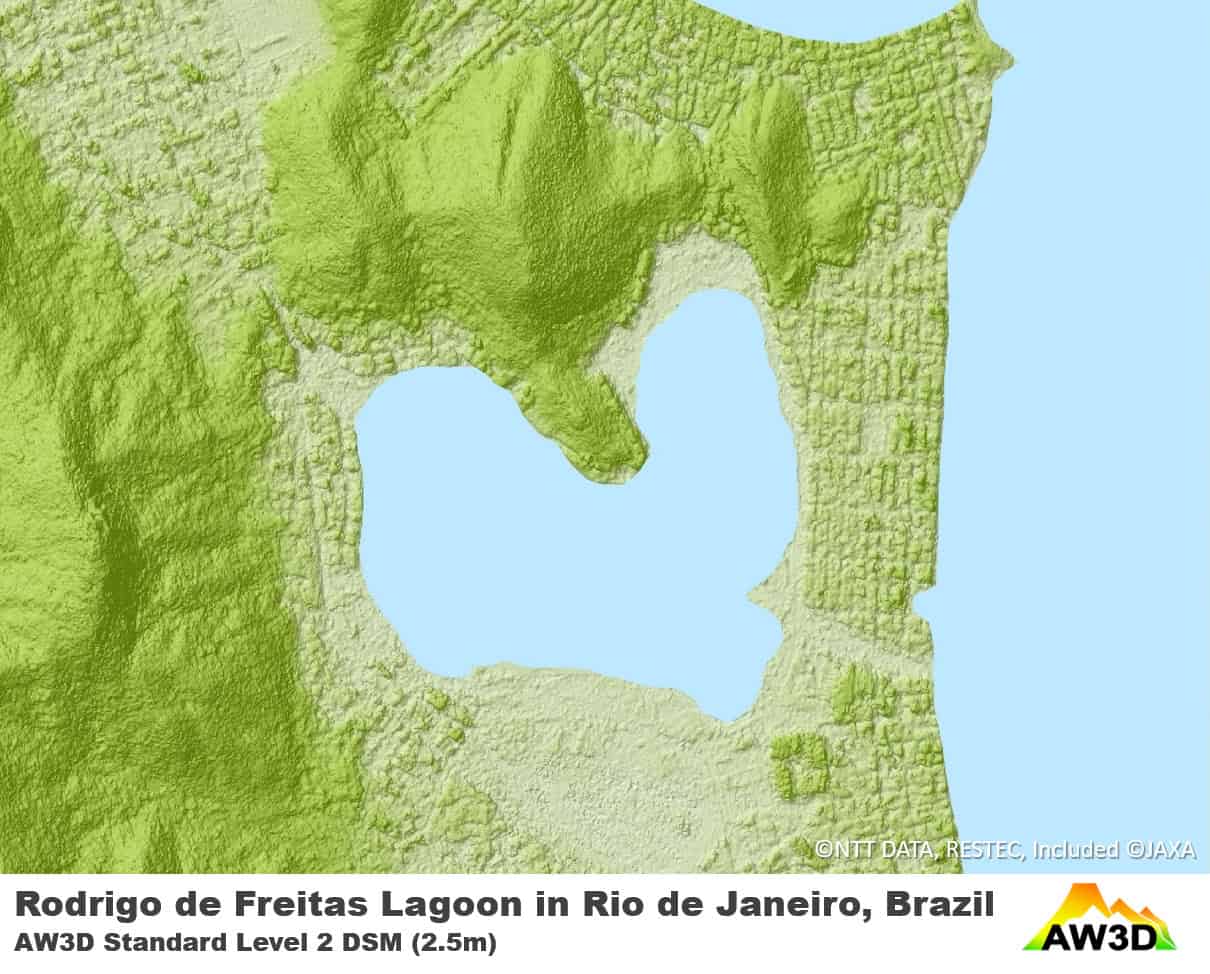
AW3D Standard Samples


Unsure if AW3D Standard is right for your project?
You shouldn’t have to be an expert in high-resolution satellite imagery to find what you need.
Our team is dedicated to making the process easy for you. All you have to do is tell us the problem. We find the answers from a vendor-agnostic perspective and present you with clear, simple solutions.
Tell us the problem
Explain the situation to us on your terms. We’ll translate it into the world of Satellite Imagery.
Review Your Options
Be presented with a simple choice of the top 2-3 imagery solutions for your project.
Make confident decisions
Know you have the right data in hand to make the critical decisions that keep your project moving forward.


