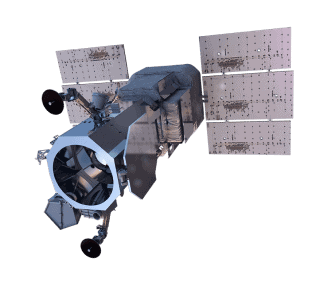
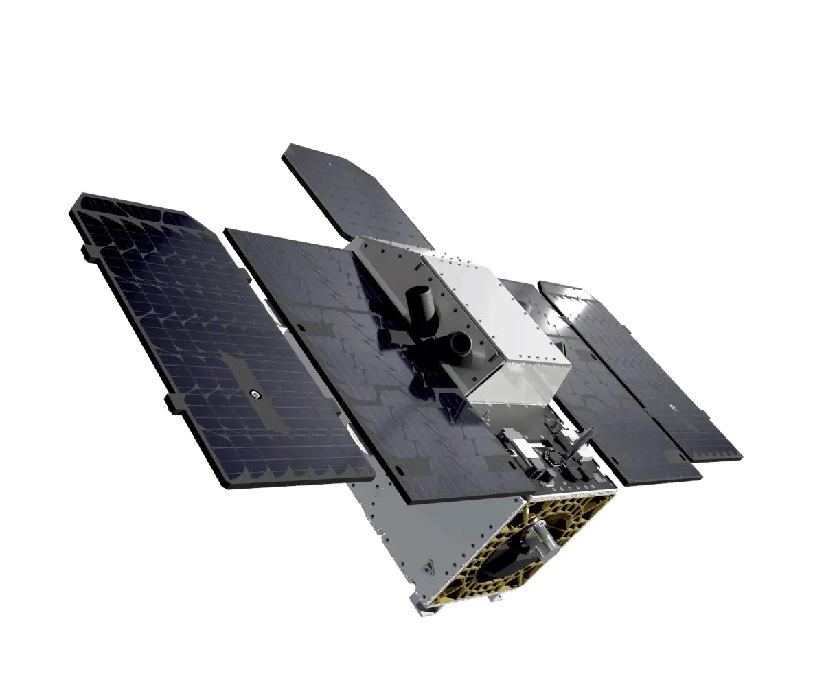
Dragonette
Wyvern’s Dragonette hyperspectral satellites capture the Earth’s surface in up to 31 spectral bands across the visible and near-infrared (VNIR) range with a 5.3-meter spatial resolution at nadir. This enables the detection of unique chemical and physical properties invisible to the human eye, making Dragonette ideal for applications such as wildfire detection, food security and environmental monitoring.
Wyvern offers flexible licensing, multiple delivery options, as well as customizable plans to meet specific project requirements.
Up to 31 spectral bands in VNIR range
5.3 meter spatial resolution at nadir
Flexible tasking options
Cloud cover policy of <20% for new tasking orders

Dragonette Specs
Sensor type
Optical
Resolution
Hyperpectral: 5.3 m
Swath width
20 km at nadir
Bands
Hyperspectral (up to 31 bands):
Visible and Near-infrared (VNIR): 445 - 869 nm
Orbit
Altitude: 540 - 546 km
Type: Sun-synchronous
Acquisition
Mono
Accuracy
≈ 25 - 100 m CE90
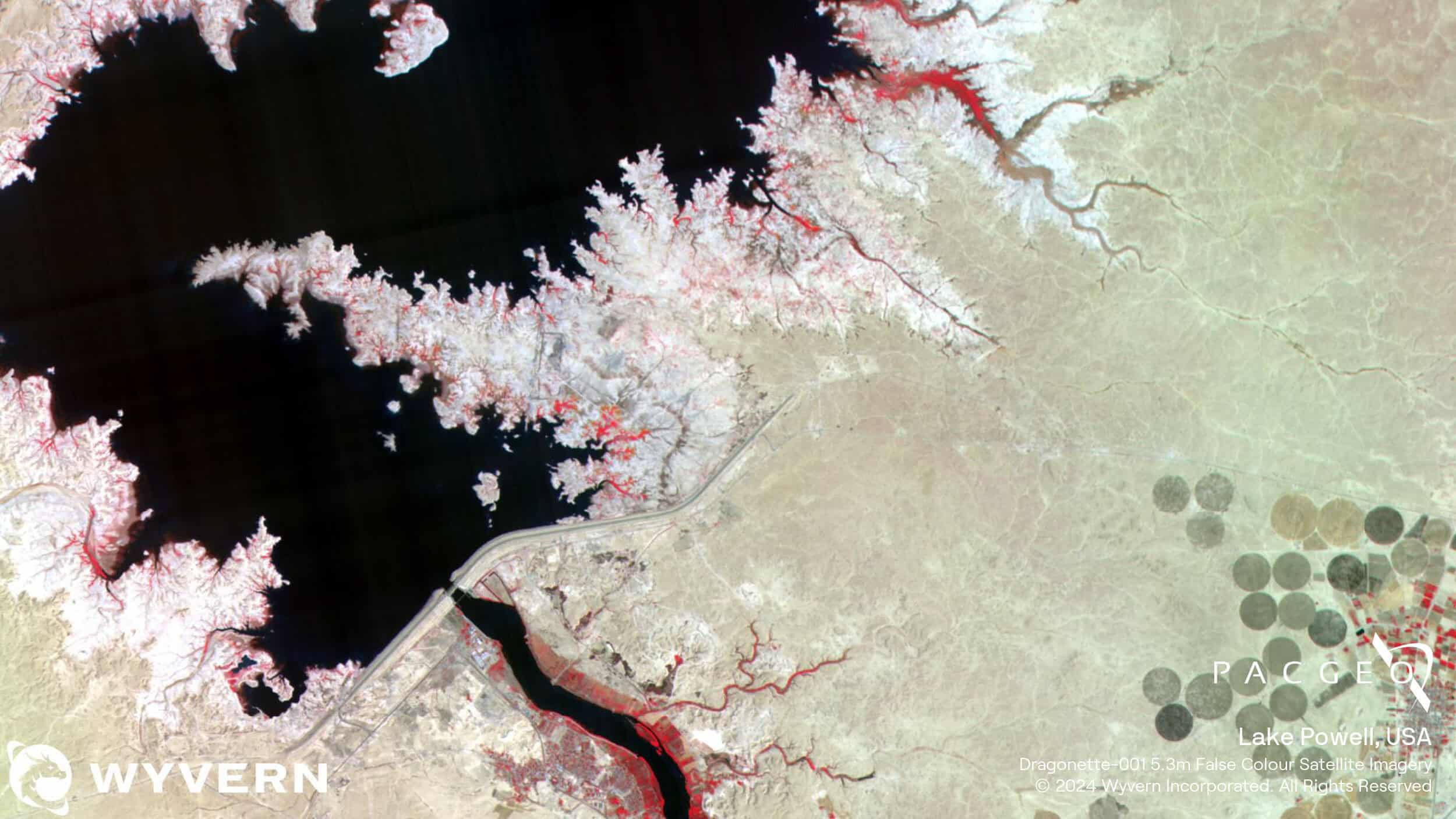
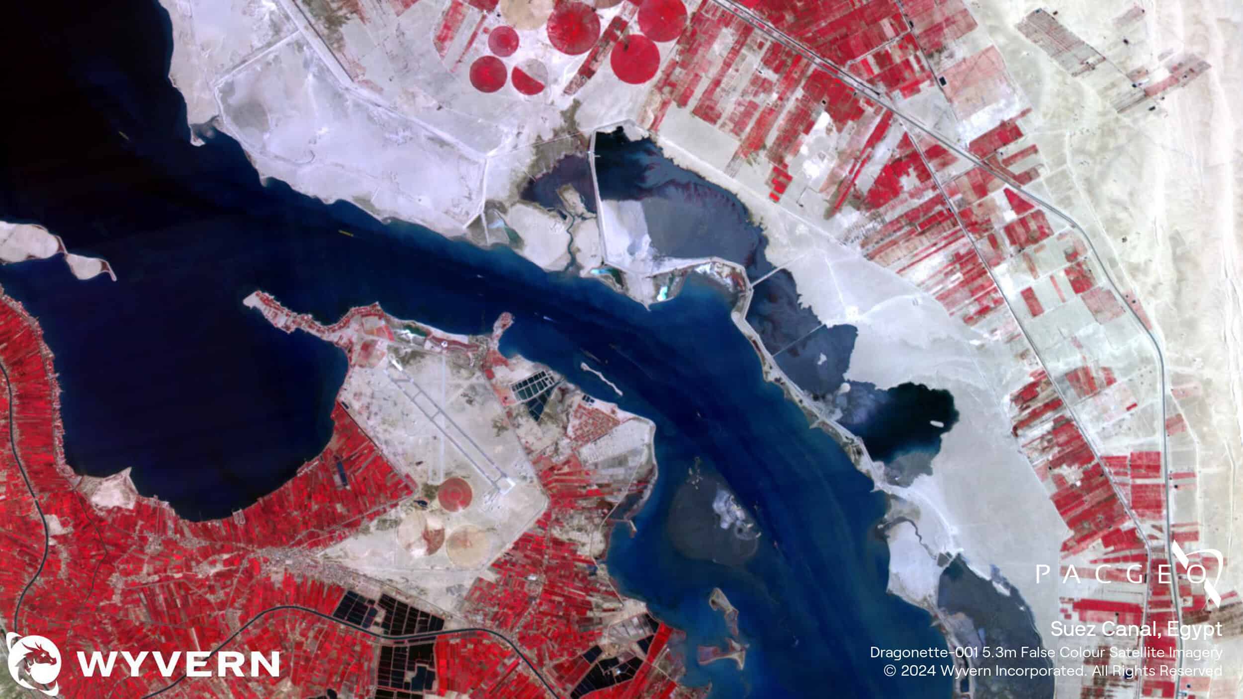
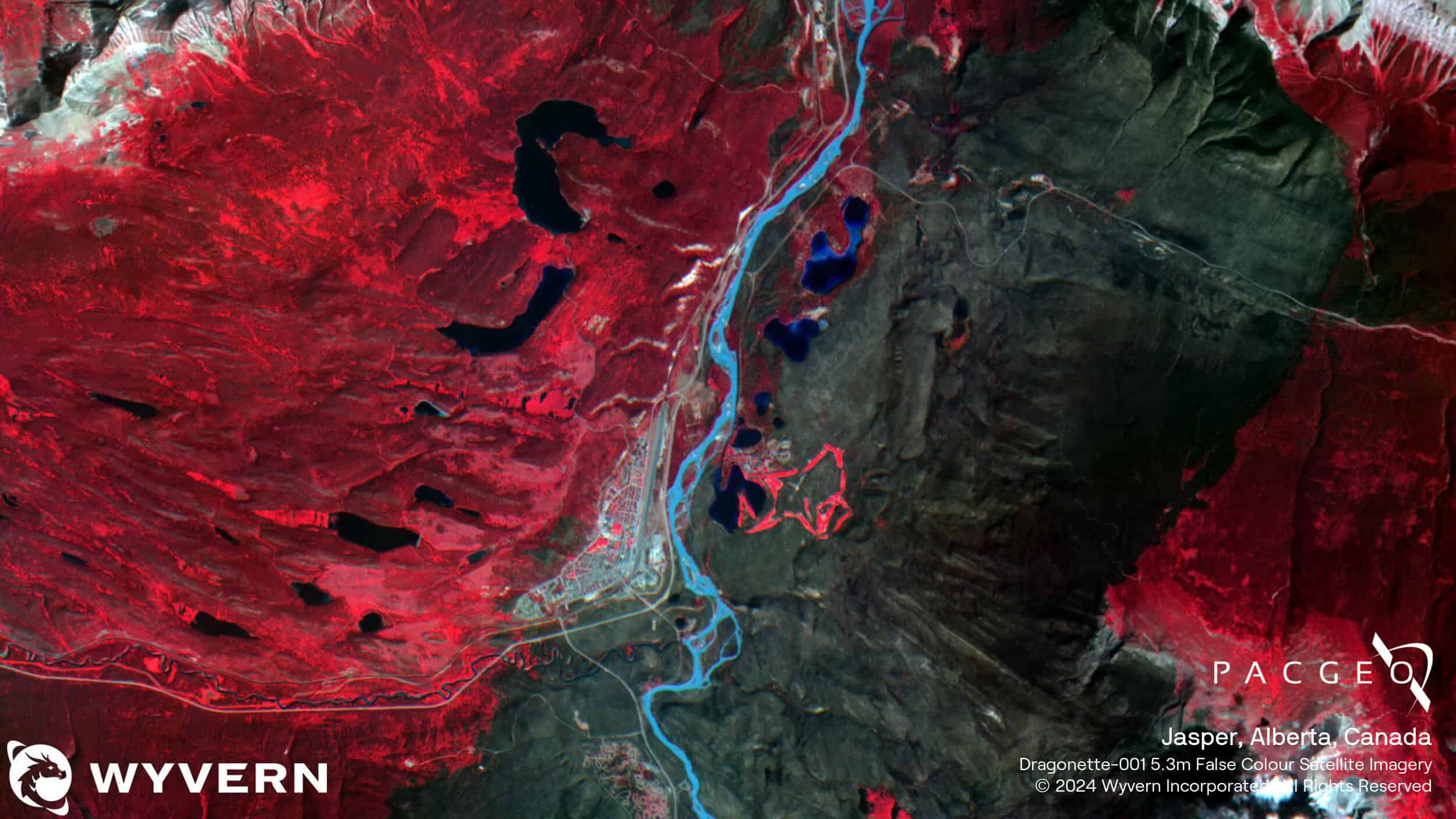
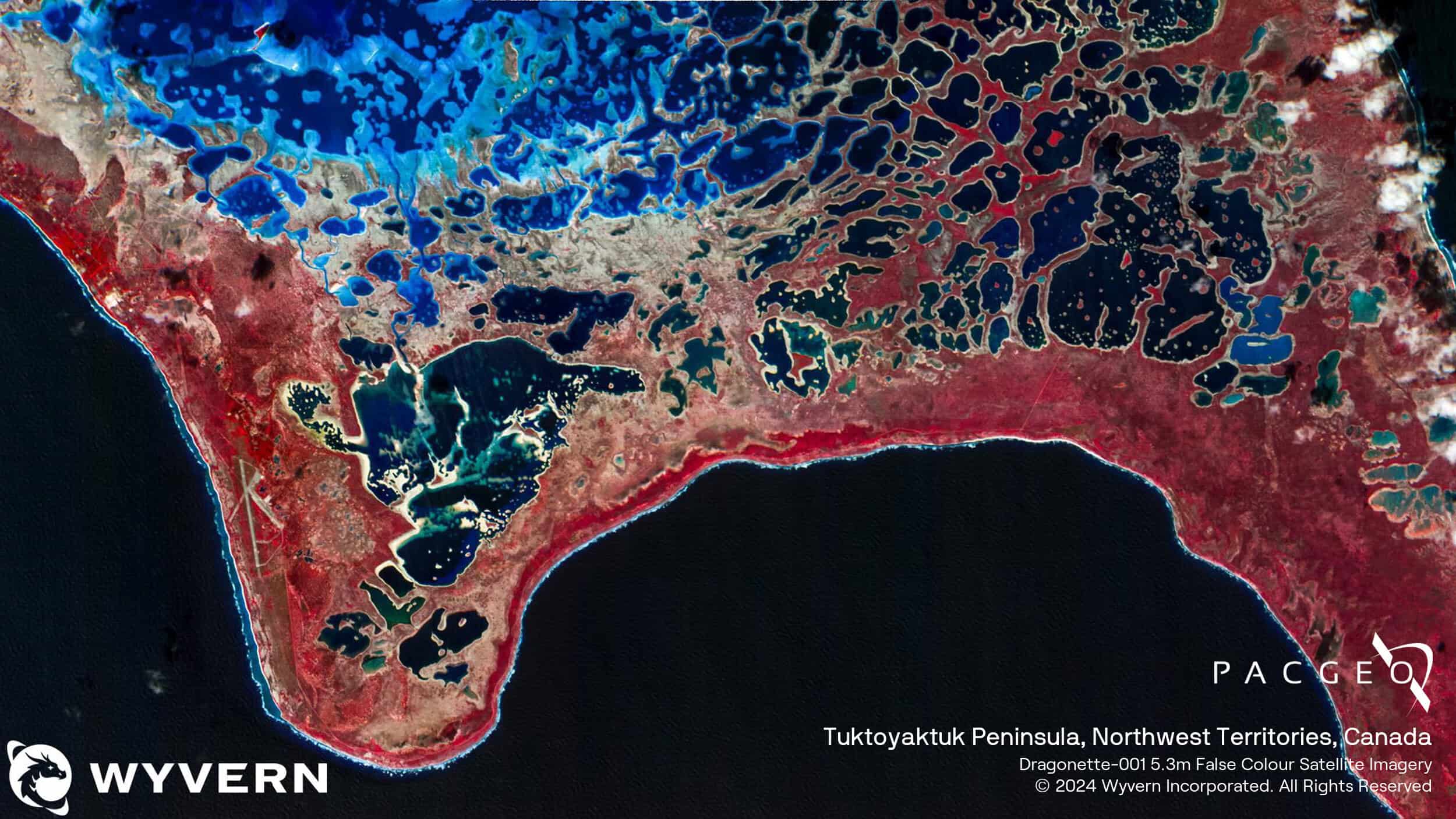
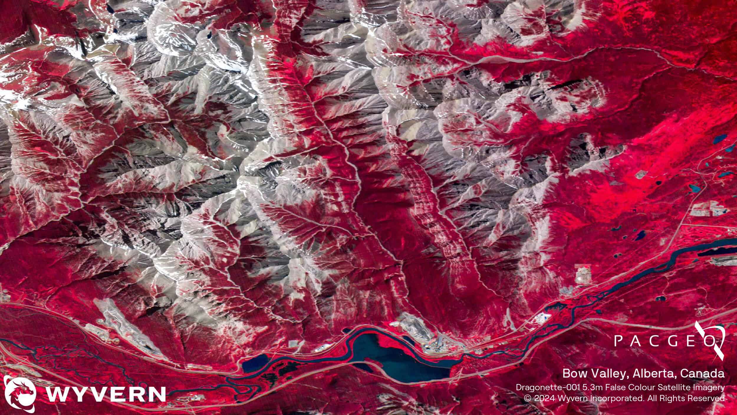
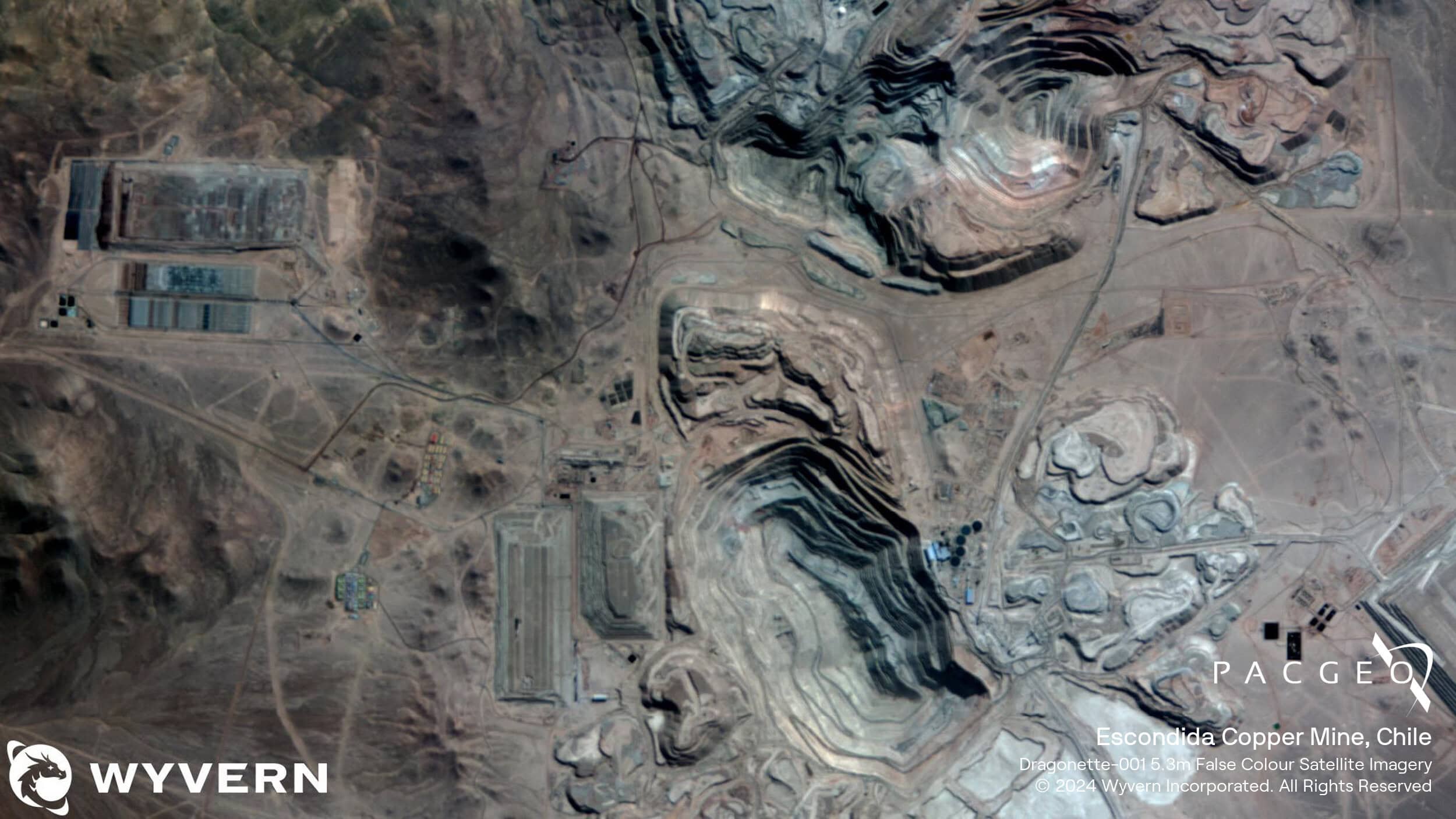
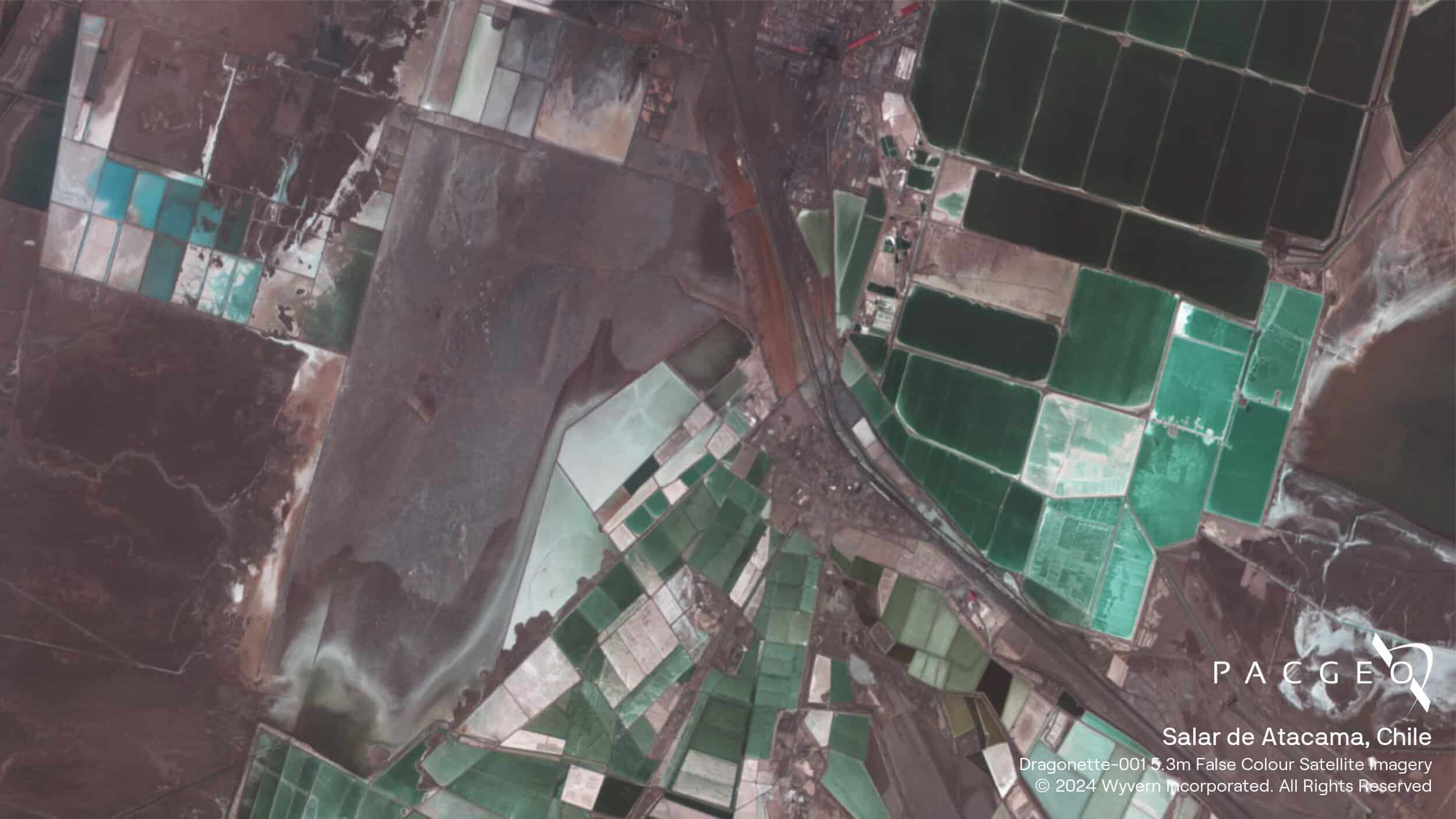
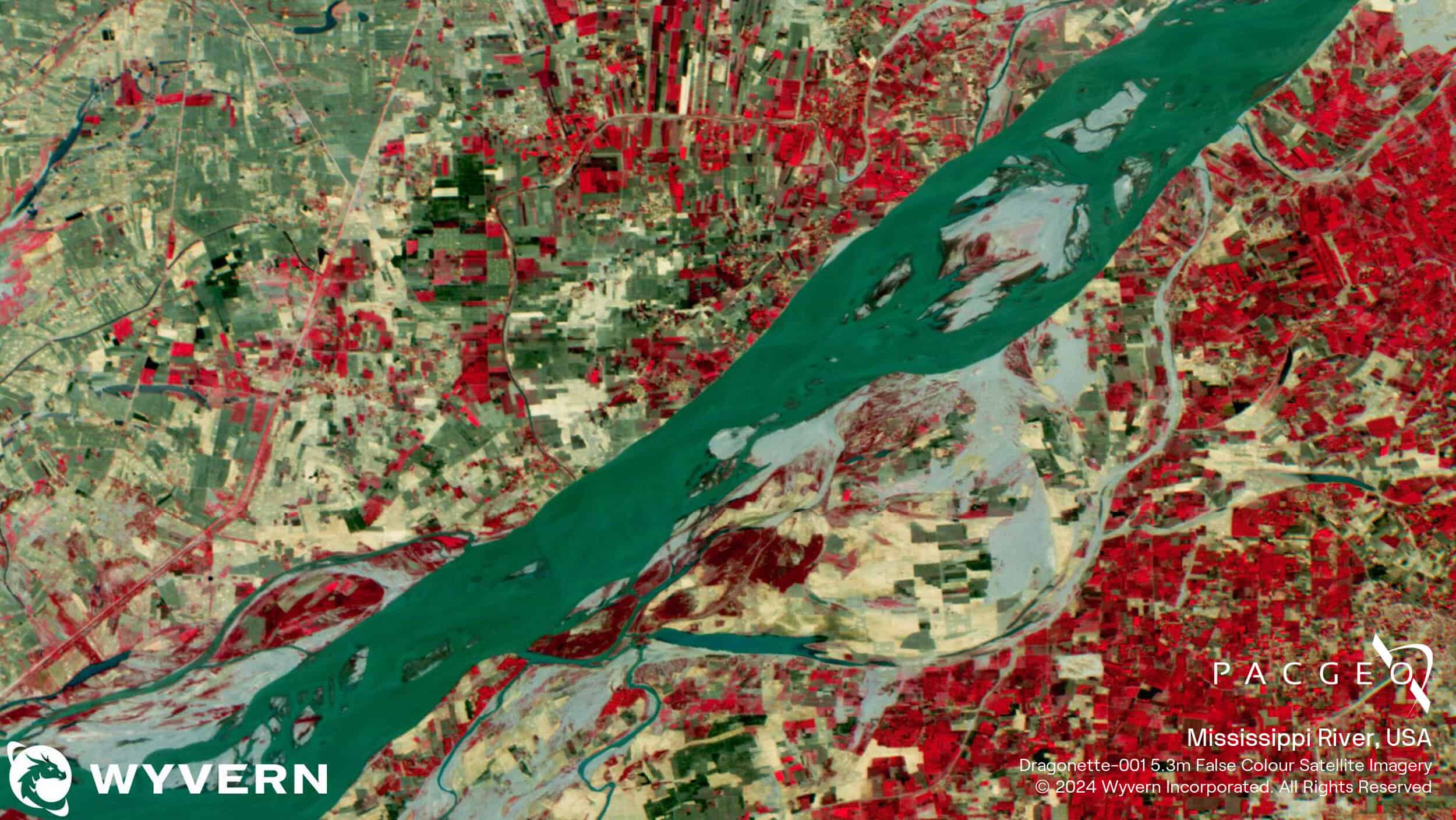
Dragonette Samples

Unsure if Dragonette is right for your project?
You shouldn’t have to be an expert in high-resolution satellite imagery to find what you need.
Our team is dedicated to making the process easy for you. All you have to do is tell us the problem. We find the answers from a vendor-agnostic perspective and present you with clear, simple solutions.
Tell us the problem
Explain the situation to us on your terms. We’ll translate it into the world of Satellite Imagery.
Review Your Options
Be presented with a simple choice of the top 2-3 imagery solutions for your project.
Make confident decisions
Know you have the right data in hand to make the critical decisions that keep your project moving forward.