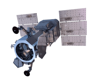
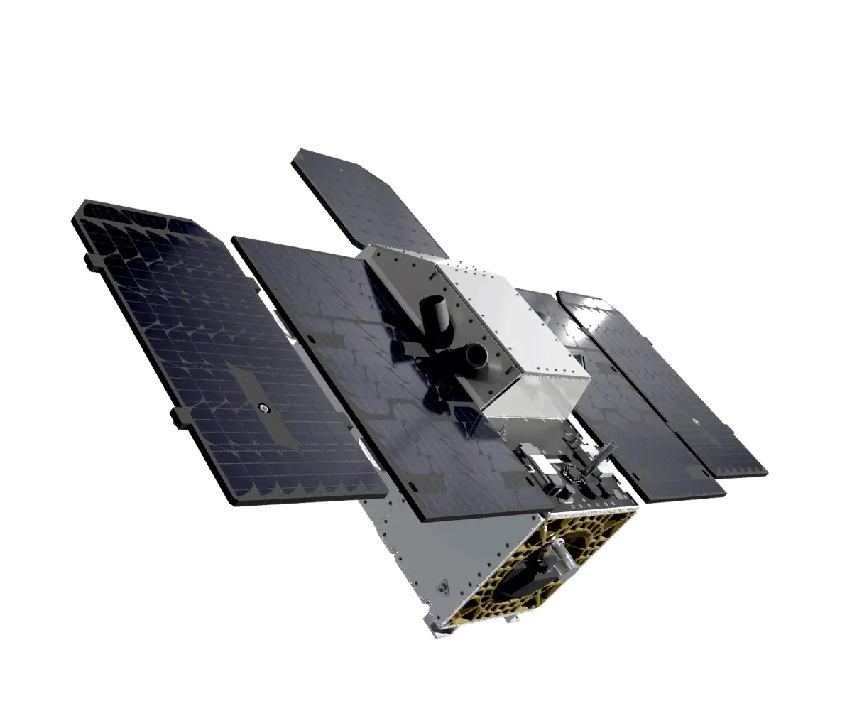
Firefly
Firefly is Pixxel’s flagship hyperspectral constellation that combines 5m spatial resolution with 150+ spectral bands in the VNIR range to reveal hidden patterns and anomalies with exceptional detail – far beyond what the human eye can see.
The fully deployed constellation will offer near real-time data collection, enabling the detection of subtle differences in materials, vegetation, soil, and more, across environmental, forestry, mining and defence applications.
High-precision 5m spatial resolution for detailed feature identification
Rich spectral analysis across 150+ bands for comprehensive surface assessment
Enhanced detection capabilities for subtle environmental and resource anomalies

Firefly Specs
Sensor type
Optical
Resolution
Hyperspectral: 5 m
Swath width
40 km at nadir
Bands
Multispectral (150+ bands):
Visible and Near-infrared (VNIR)
470-900 nm
Orbit
Altitude: 590 km
Type: Sun-synchronous
Unsure if Firefly is right for your project?
You shouldn’t have to be an expert in high-resolution satellite imagery to find what you need.
Our team is dedicated to making the process easy for you. All you have to do is tell us the problem. We find the answers from a vendor-agnostic perspective and present you with clear, simple solutions.
Tell us the problem
Explain the situation to us on your terms. We’ll translate it into the world of Satellite Imagery.
Review Your Options
Be presented with a simple choice of the top 2-3 imagery solutions for your project.
Make confident decisions
Know you have the right data in hand to make the critical decisions that keep your project moving forward.