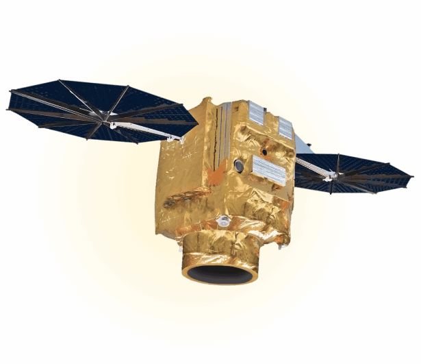
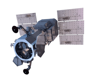
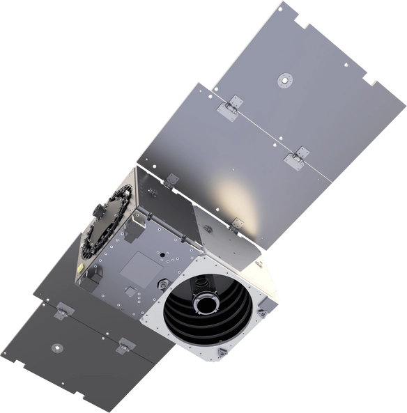
Planet

Pelican

Planet’s upcoming Pelican constellation is a game-changer in high-resolution satellite imagery. With up to 30 satellites, the Pelican constellation will provide highly detailed imagery at a resolution of 30cm. This advanced satellite imagery constellation will collect up to 30 images daily with a rapid revisit time of only 30 minutes, ensuring that organizations have the most up-to-date information for making critical operational decisions in industries including agriculture, forestry, urban planning, and emergency management. Planet’s Pelican constellation will become a go-to solution for organizations looking to improve their operations with the most up-to-date satellite imagery.

30cm resolution

Up to 30 satellites

Up to 30 images per day

Approximate 30 minute revisit

Pelican Specs

Launch Information

Date: TBD

Orbit

Orbit

450 – 580 km (~98° inclination)

spacecraft size

Spacecraft Size, Mass and Power

Mass: 110 kg
Dimensions: 60 x 60 x 95 cm

Sensor bands

Sensor Bands

Blue: 455 – 515 nm
Green: 500 – 590 nm
Red: 590 – 670 nm
NIR: 780 – 860 nm

Dynamic Range

Dynamic Range

16-bits per pixel

Swath

Swath Width

6.5m at nadir

Point accuracy

Pointing Accuracy & Knowledge

Sensor-related effects are corrected using sensor telemetry and a sensor model. Spacecraft-related effects are corrected using attitude telemetry and best available ephemeris data. Orthorectified using GCPs and fine DEMs (30 m to 90 m posting) to <10 m RMSE positional accuracy

Retargeting

Retargeting Agility

Time to Slew 200 km: 10 sec

Max Contiguous

Onboard Storage

360 GB + 360 GB cold spare storage

Revist

Revisit Frequency
(at 40°N Latitude)

4 – 5 days *Reference altitude 500 km

Geolocation

Geolocation
Accuracy (CE90)

Demonstrated <3.5 m CE90 without ground control

capacity

Capacity

200,000 km²/day

Unsure if
Pelican is right
for your project?

You shouldn’t have to be an expert in high-resolution satellite imagery to find what you need.

Our team is dedicated to making the process easy for you. All you have to do is tell us the problem. We find the answers from a vendor-agnostic perspective and present you with clear, simple solutions.

Tell us the problem

Explain the situation to us on your terms. We’ll translate it into the world of Satellite Imagery.

Review Your Options

Be presented with a simple choice of the top 2-3 imagery solutions for your project.

Make confident decisions

Know you have the right data in hand to make the critical decisions that keep your project moving forward.

Other Satellites

maxar worldview 1

MAXAR

WorldView-1

WorldView-1’s high-capacity panchromatic imaging system features state-of-the-art geolocation accuracy, rapid targeting, and efficient in-track stereo collection.

MAXAR

WorldView Legion

Maxar Technologies, a leading provider of Earth imagery and intelligence, is set to revolutionize the satellite imaging industry with its next generation of Earth imaging satellites – WorldView Legion.

image 20

MAXAR

WorldView-2

Orbiting at an altitude of 770 km, WorldView-2 collects up to 1 million square kilometers of high-resolution 8-band imagery every day. It also offers industry-leading geolocation accuracy and stereoscopic collection on a single pass, ensuring greater image continuity.

When we need high-resolution satellite imagery, we trust Pacgeo for their quality imagery and reliable turnaround times. ​

David Bluestone

Vice President of Exploration, Bluestone Resources

Ordering high-res satellite imagery through a partner agency order desk was always painful and fraught with multiple issues. Dealing directly with Pacgeo allows me to bypass the aforementioned issues, while getting quick and reliable access to the data I need.

Government Employee

Government of Canada