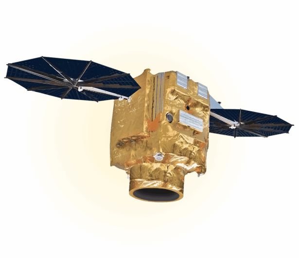
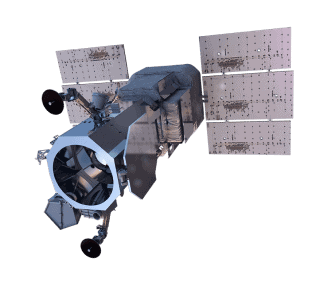
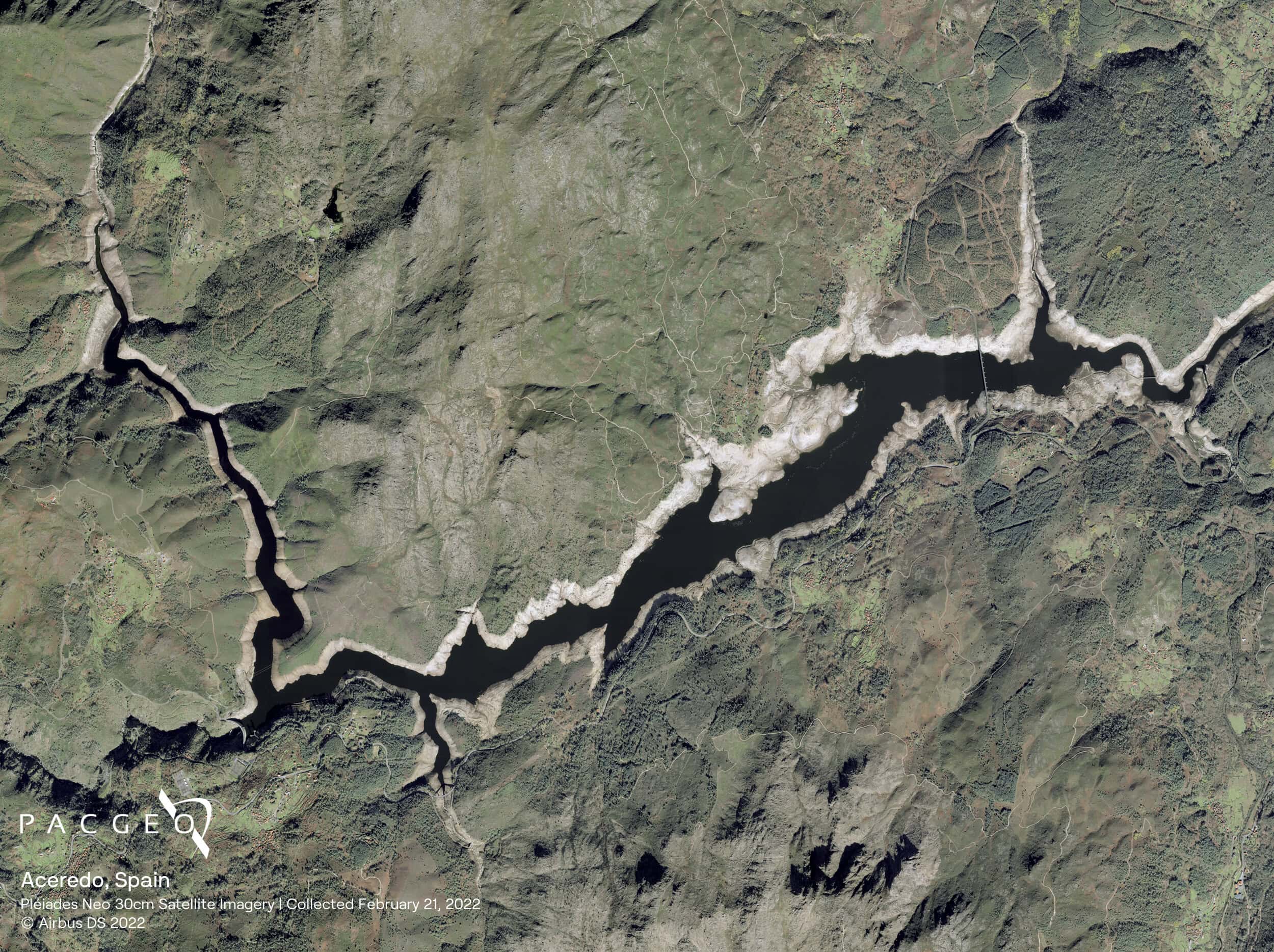
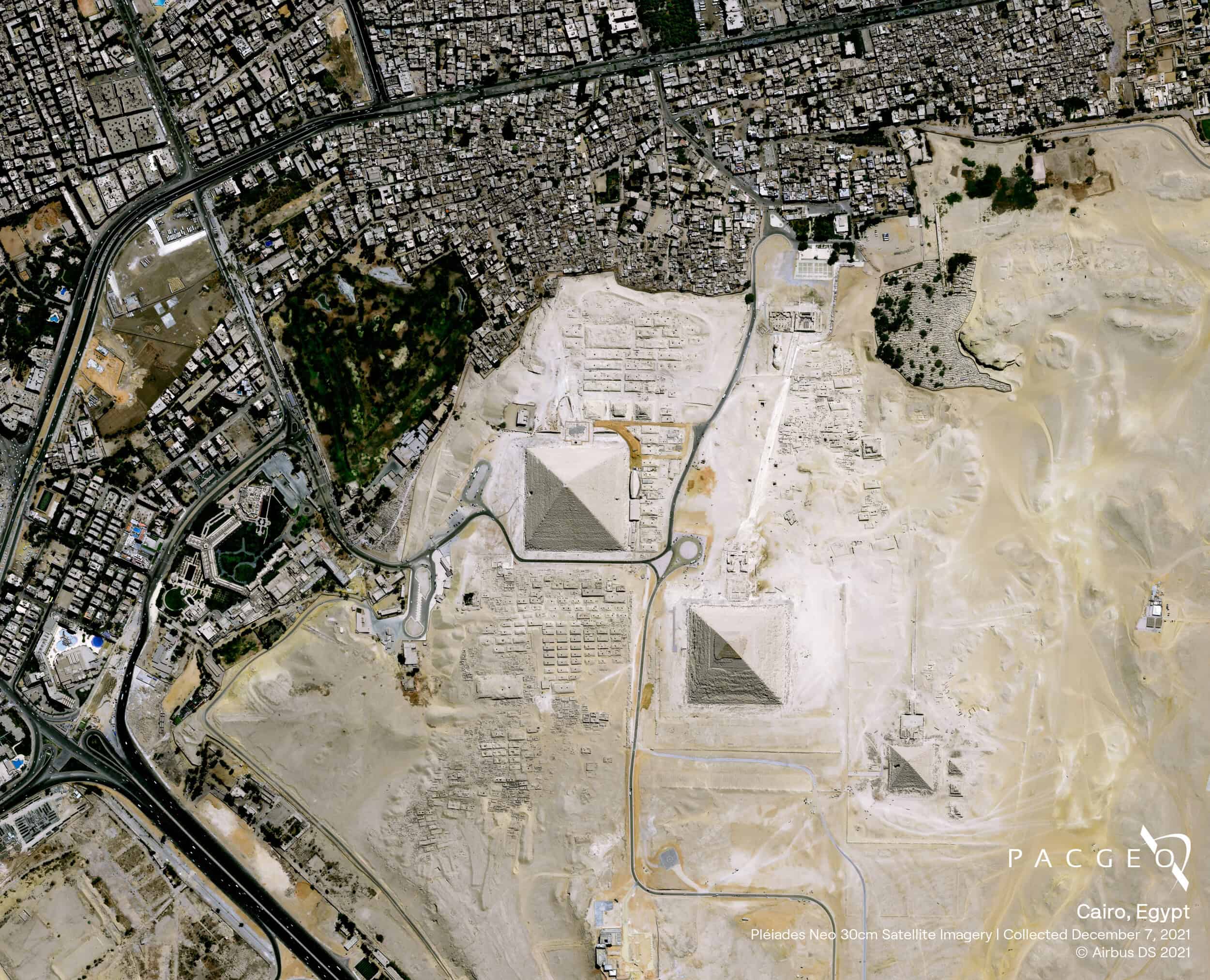
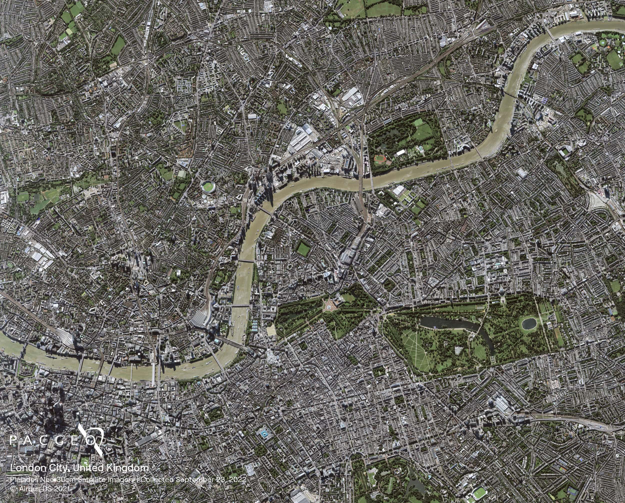
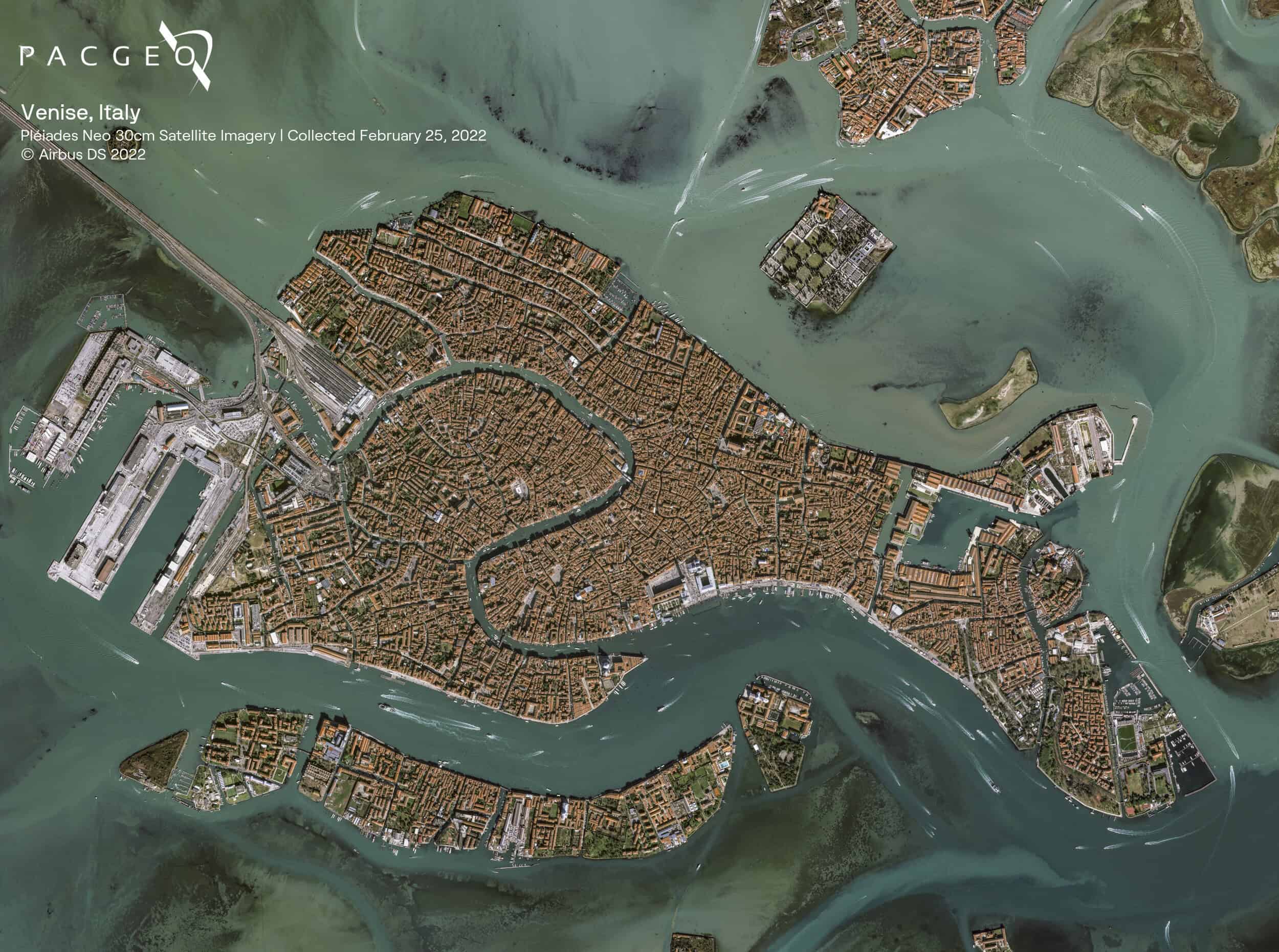
Pléiades Neo
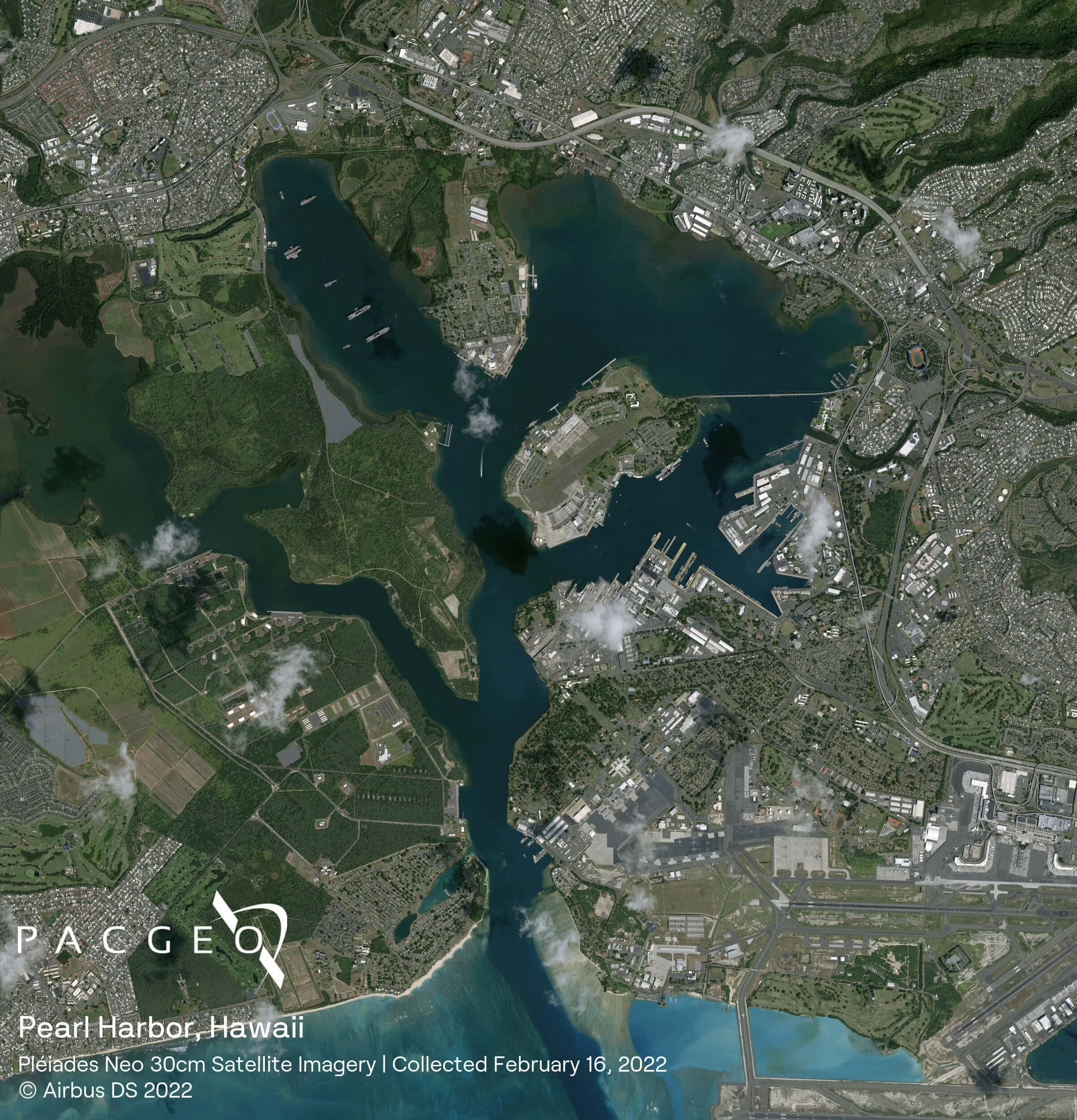
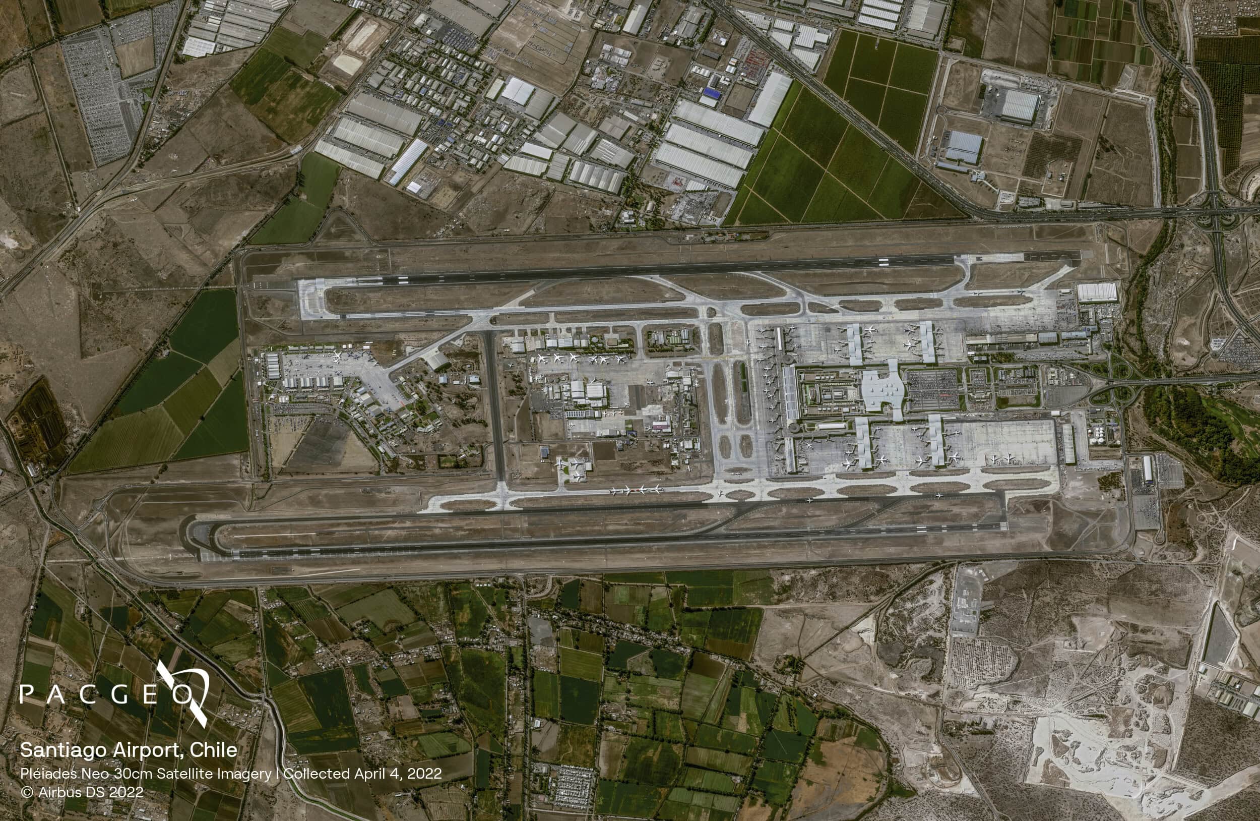
Pléiades Neo is Airbus’s most advanced optical constellation of high-resolution satellites in its fleet. In a sun-synchronous orbit at an altitude of 620 km, these satellites have a collection capacity of up to 2 million sq km per day. With a 30 cm panchromatic and 1.2 m multispectral resolution, the Pleiades Neo satellites are capable of intra-day revisits to optimize reactivity with todays global challenges.
Launched in 2021 and 2022
More image collection opportunities
Rapid access to data after acquisition
Daily revisit

Pléiades Neo Specs
Sensor type
Optical
Resolution
Panchromatic: 30 cm
Multispectral: 1.2 m
Swath width
14 km at nadir
Bands
Panchromatic: 450-800 nm
Deep Blue: 400 - 450 nm
Blue: 450 - 520 nm
Green: 530 - 590 nm
Red: 620 - 690 nm
Red-Edge: 700 - 750 nm
Near-IR: 770 - 880 nm
Orbit
Altitude: 620 km
Type: Sun-synchronous
Acquisition
Mono, stereo, tri-stereo
Accuracy
3.5 m CE90


Unsure if Pléiades Neo is right for your project?
You shouldn’t have to be an expert in high-resolution satellite imagery to find what you need.
Our team is dedicated to making the process easy for you. All you have to do is tell us the problem. We find the answers from a vendor-agnostic perspective and present you with clear, simple solutions.
Tell us the problem
Explain the situation to us on your terms. We’ll translate it into the world of Satellite Imagery.
Review Your Options
Be presented with a simple choice of the top 2-3 imagery solutions for your project.
Make confident decisions
Know you have the right data in hand to make the critical decisions that keep your project moving forward.