WorldView Legion
Vantor’s Next-Generation Earth Imaging Satellites: WorldView Legion
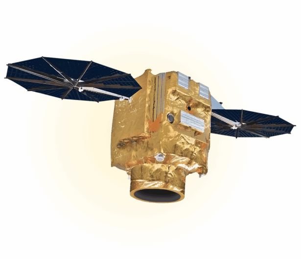
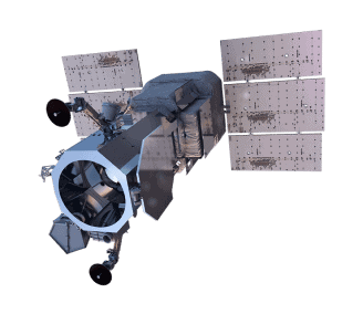
Vantor (previously Maxar), a leading provider of Earth imagery and intelligence, is set to revolutionize the satellite imaging industry with its next generation of Earth imaging satellites – WorldView Legion. This constellation of satellites will be comprised of six 30cm resolution satellites designed to provide organizations with highly accurate and up-to-date satellite imagery. The ability of WorldView Legion to revisit a target area up to 15 times per day will provide organizations with near real-time information that is crucial to making informed decisions. And with the capacity to collect an astonishing 5 million square kilometers per day of satellite imagery, organizations will have a comprehensive view of the Earth like never before. Whether it is monitoring crops and wildlife, predicting natural disasters, or tracking the impact of human activities, WorldView Legion will provide organizations with the information they need to move forward with confidence.
Six 30cm class satellites
High-resolution imagery
Rapid, frequent revisits
Dawn-to-dusk image collection
Extensive daily area coverage

WorldView Legion Specs
Sensor type
Optical
Resolution
Panchromatic: 34 cm (15 cm HD)
Multispectral: 1.36 m
Swath width
10 km at nadir
Bands
Panchromatic: 450 - 800 nm
Coastal Blue: 400 - 450 nm
Blue: 450 - 510 nm
Green: 510 - 580 nm
Yellow: 585 - 625 nm
Red: 630 - 690 nm
Red Edge1: 695 - 715 nm
Red Edge2: 730 - 750 nm
Near-IR: 770 - 895 nm
Orbit
Altitude: 518 km
Type: Sun-synchronous and mid-inclination
Acquisition
Mono, stereo
Accuracy
< 5 m CE90 without GCP
< 1.5 m RMSE
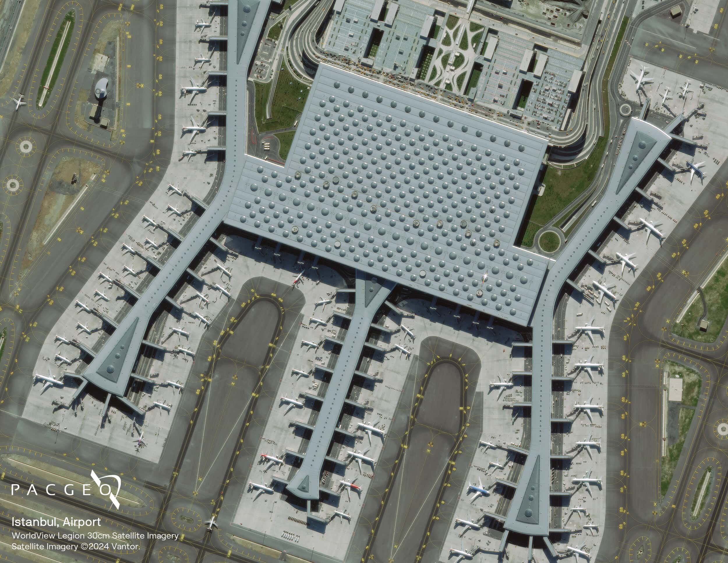
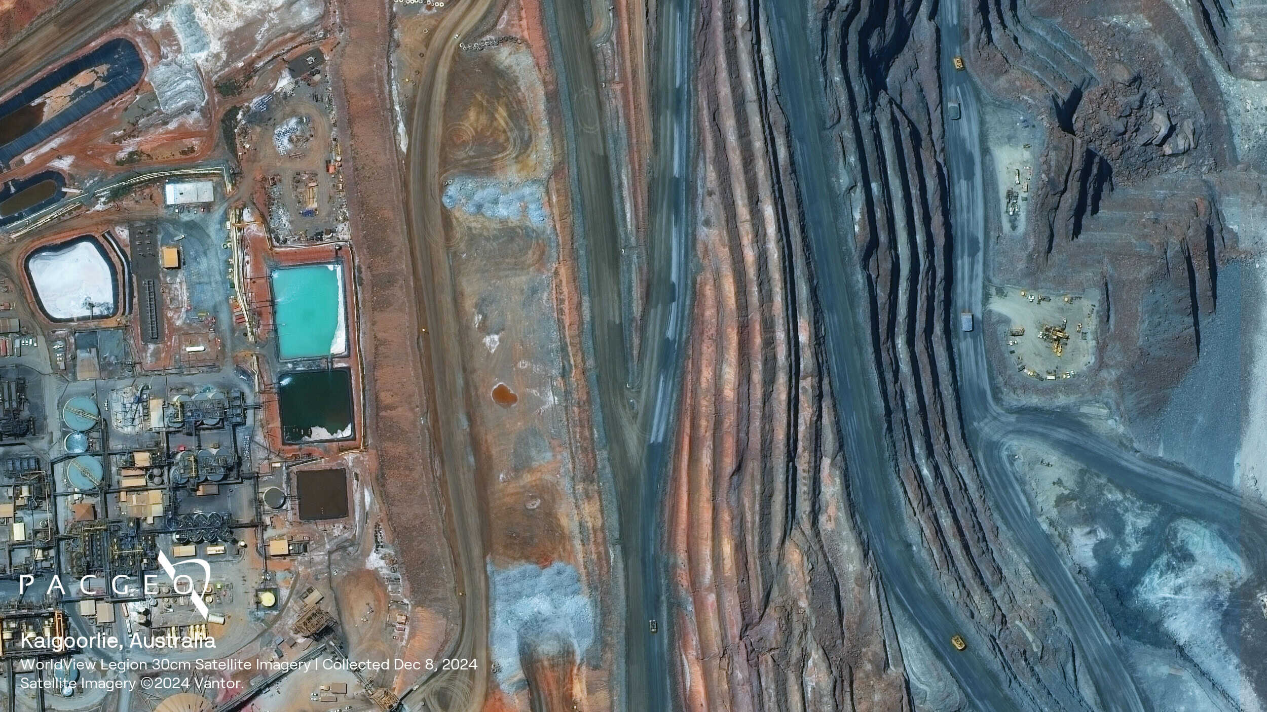
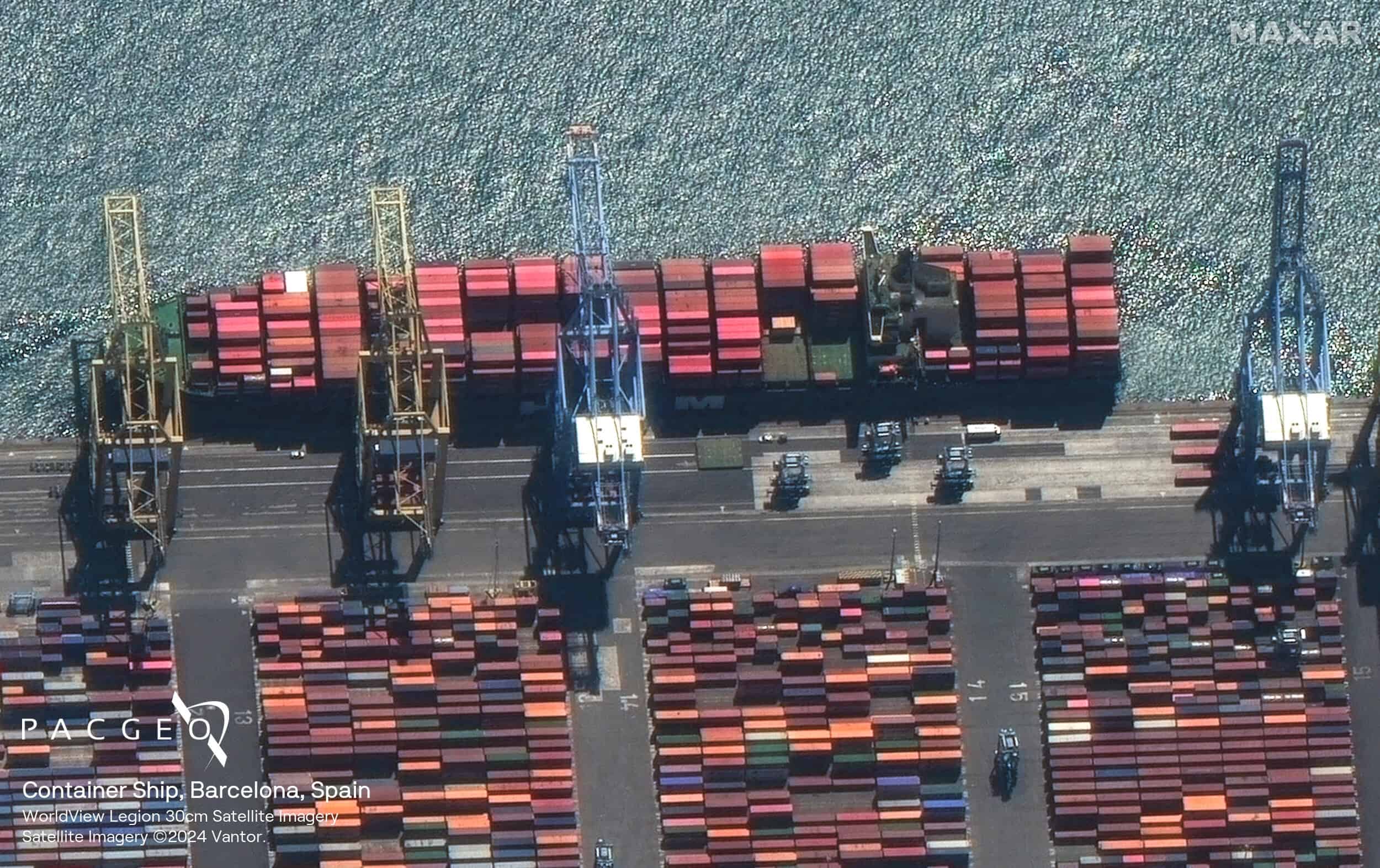
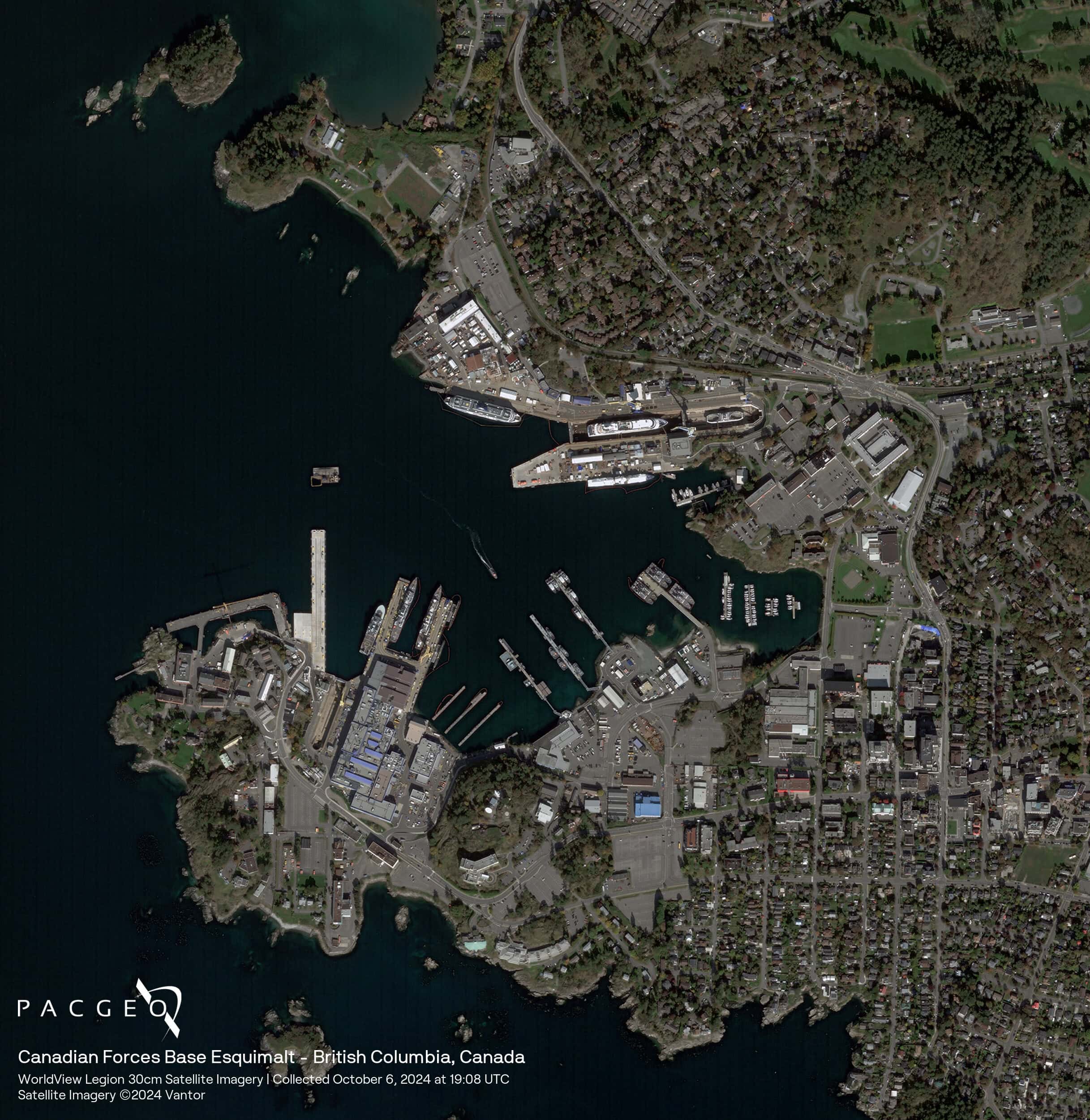
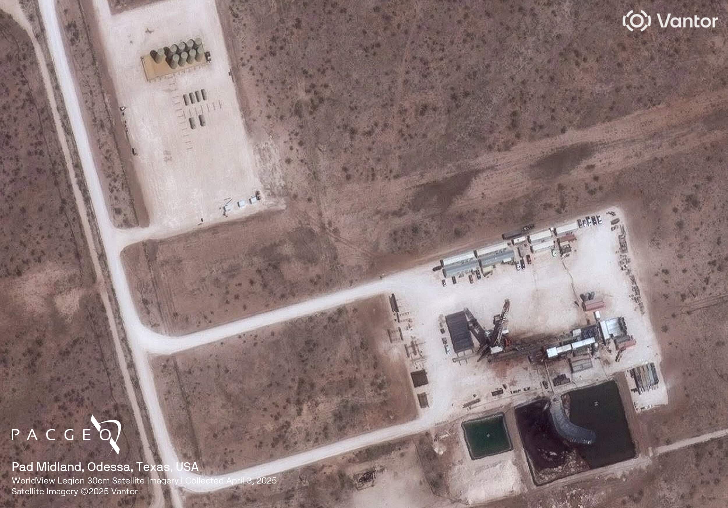
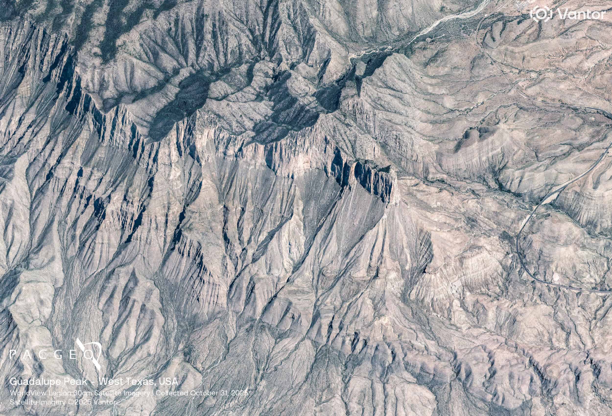
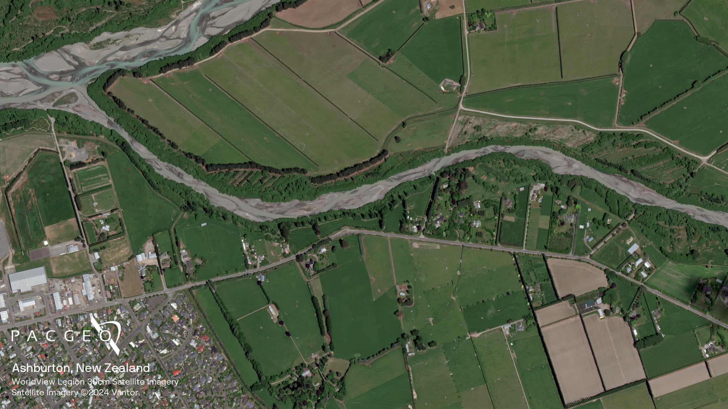
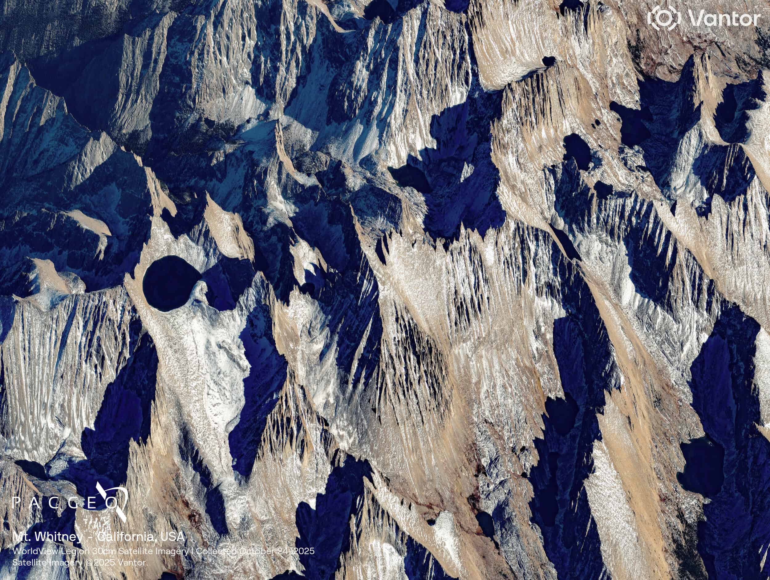
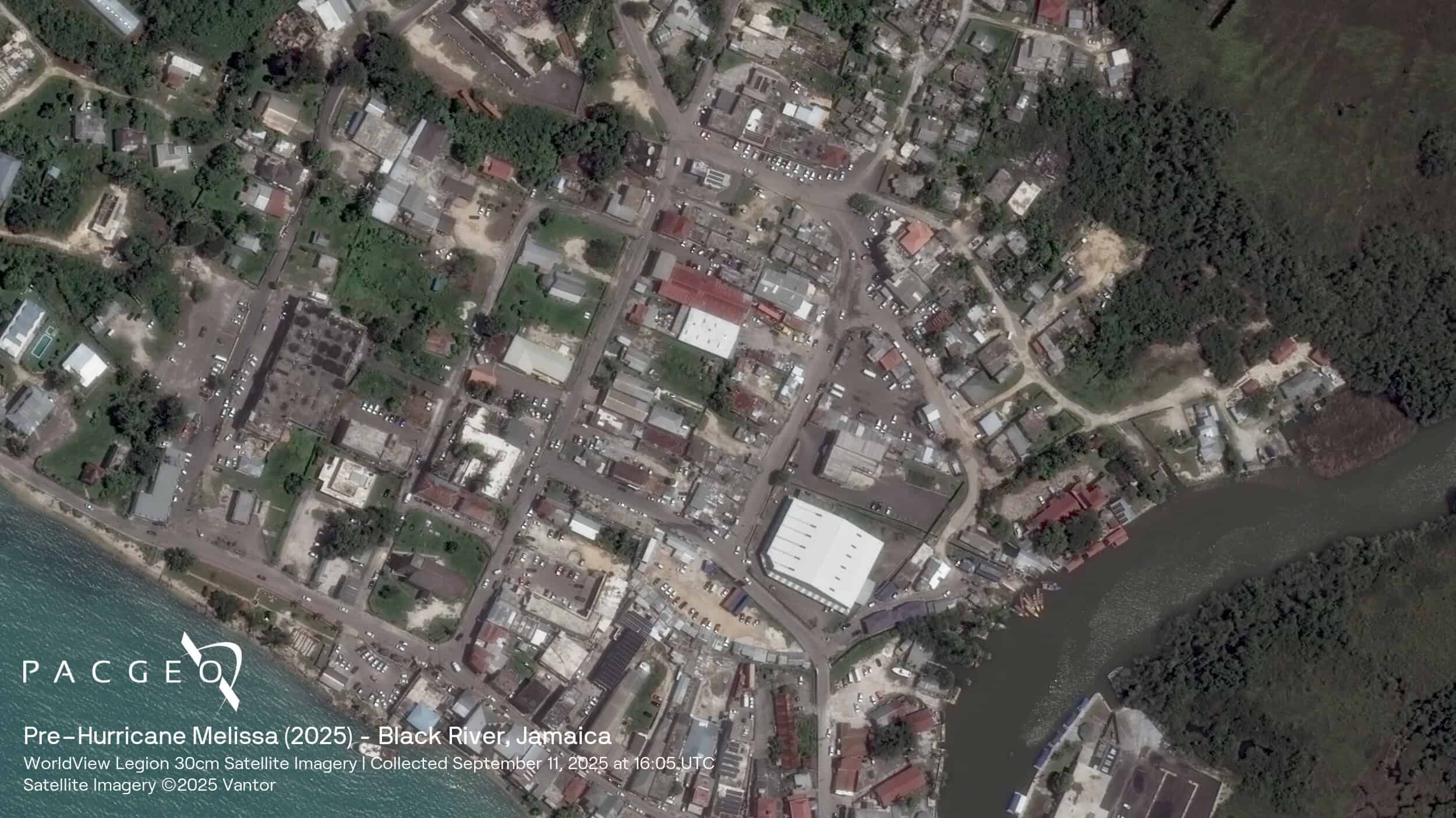
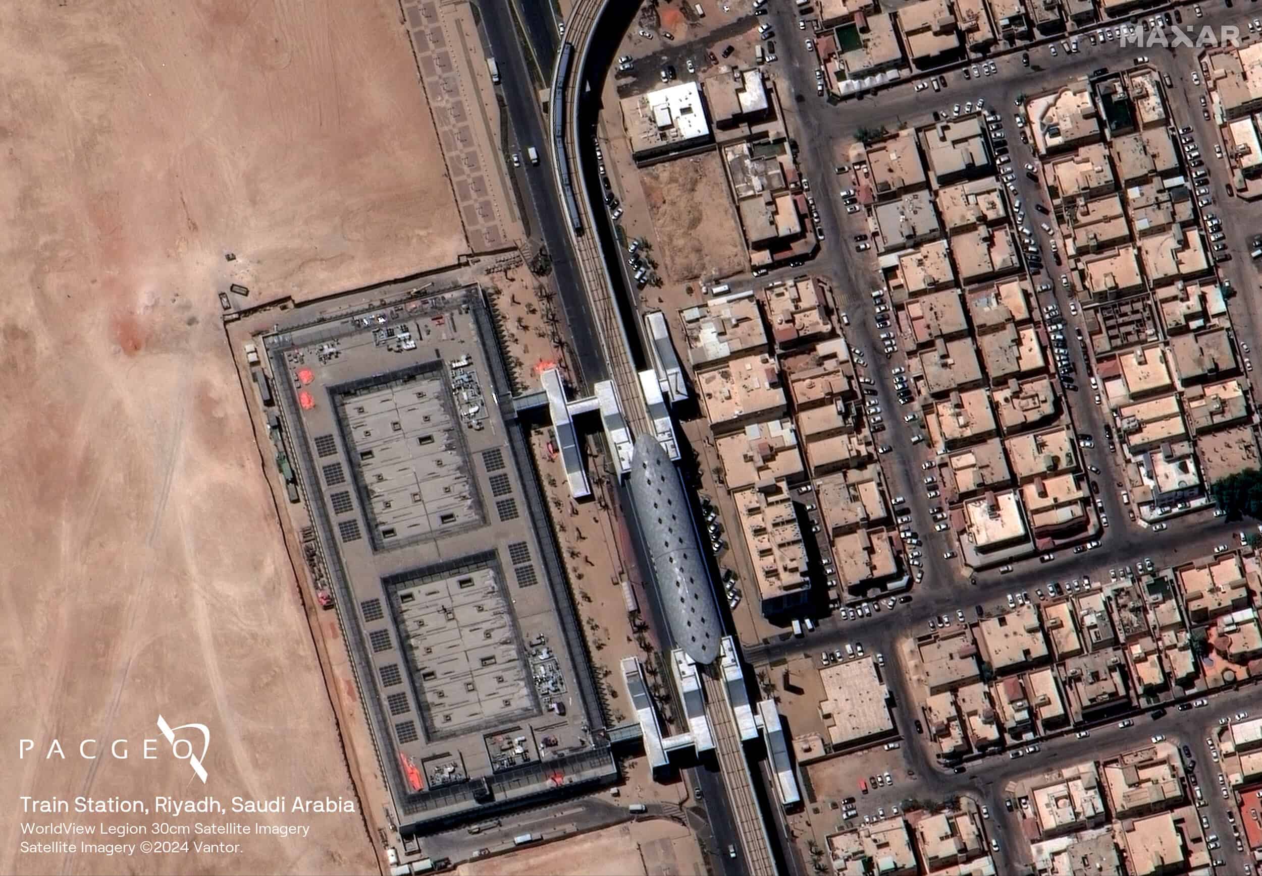
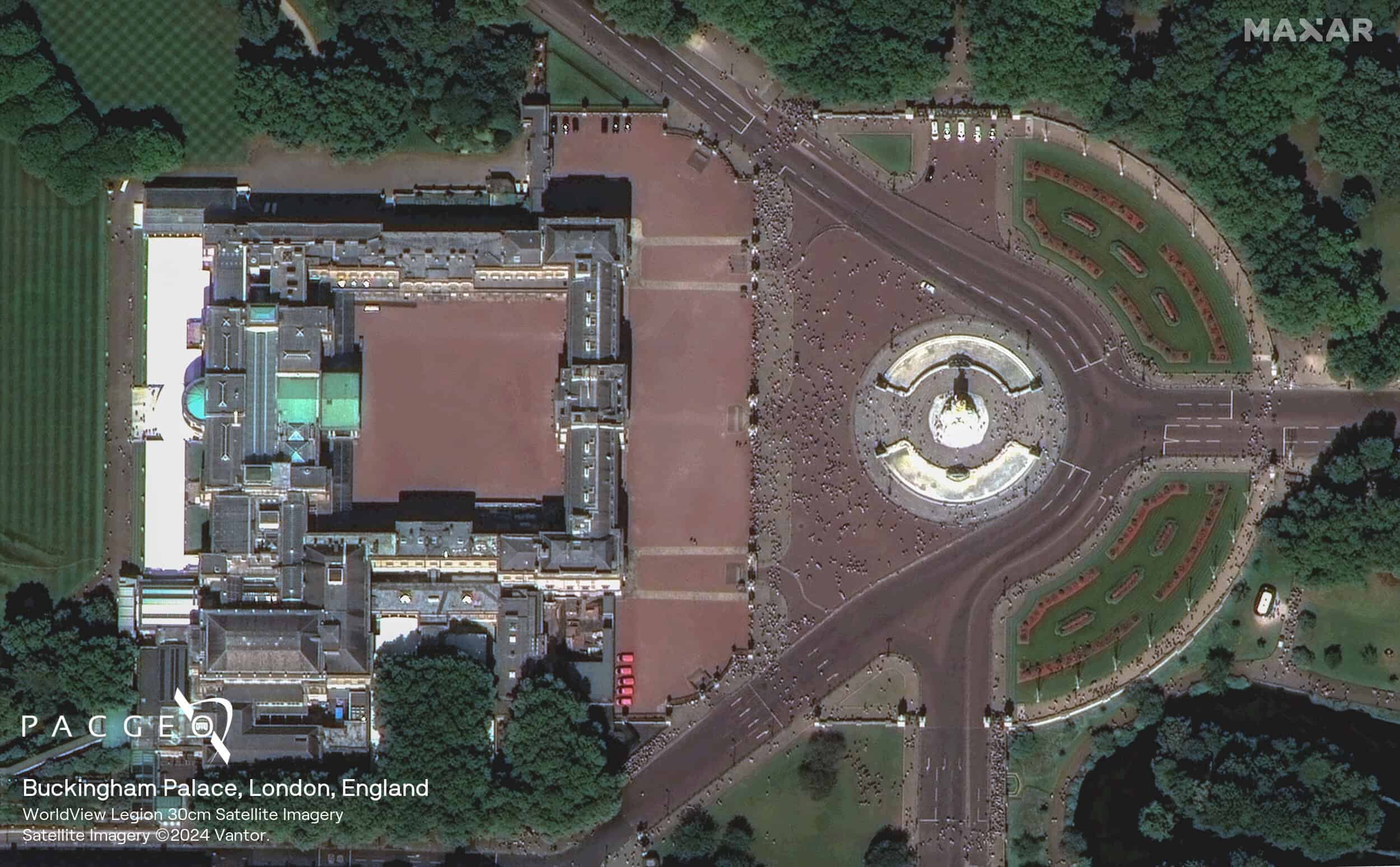
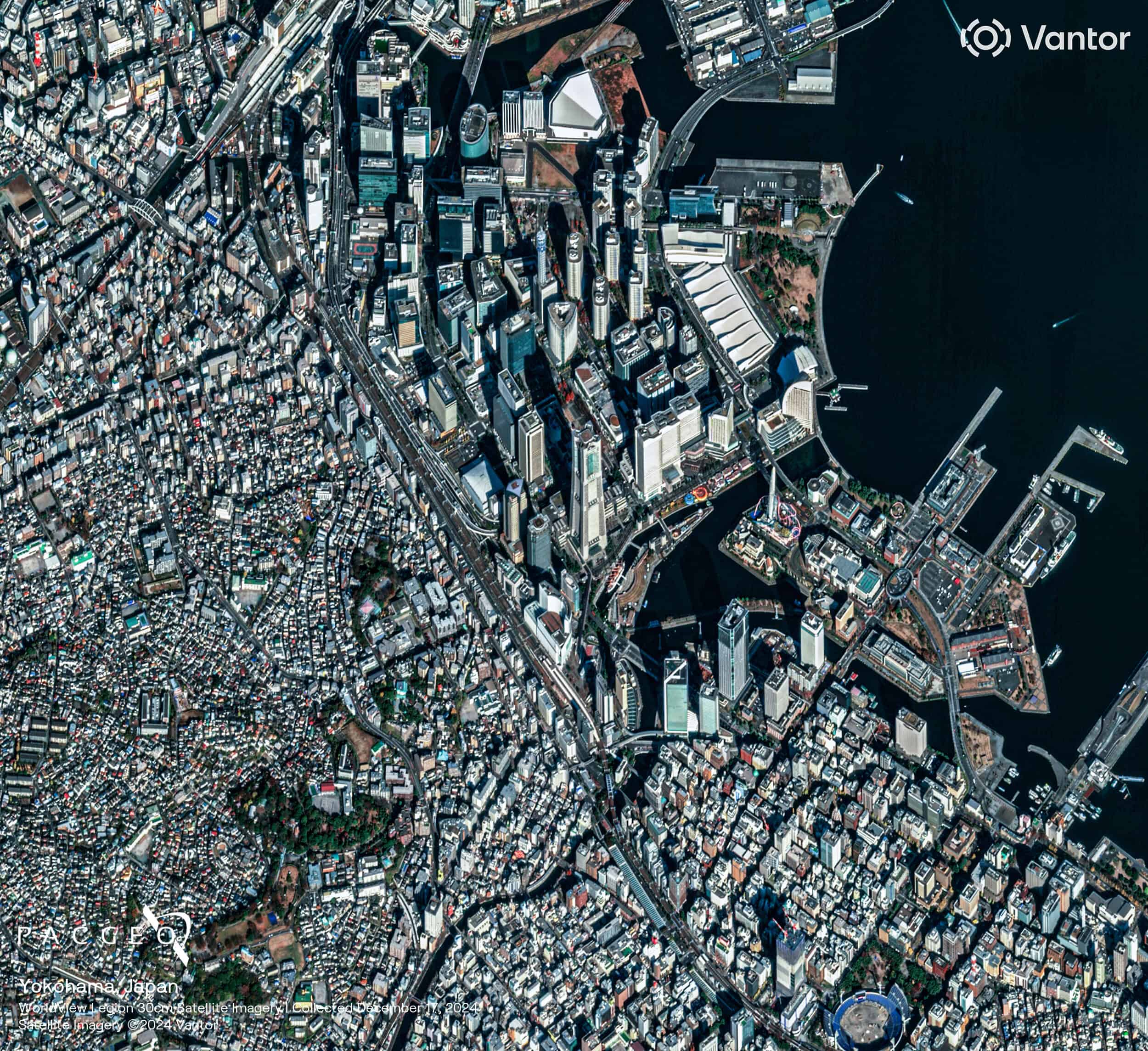
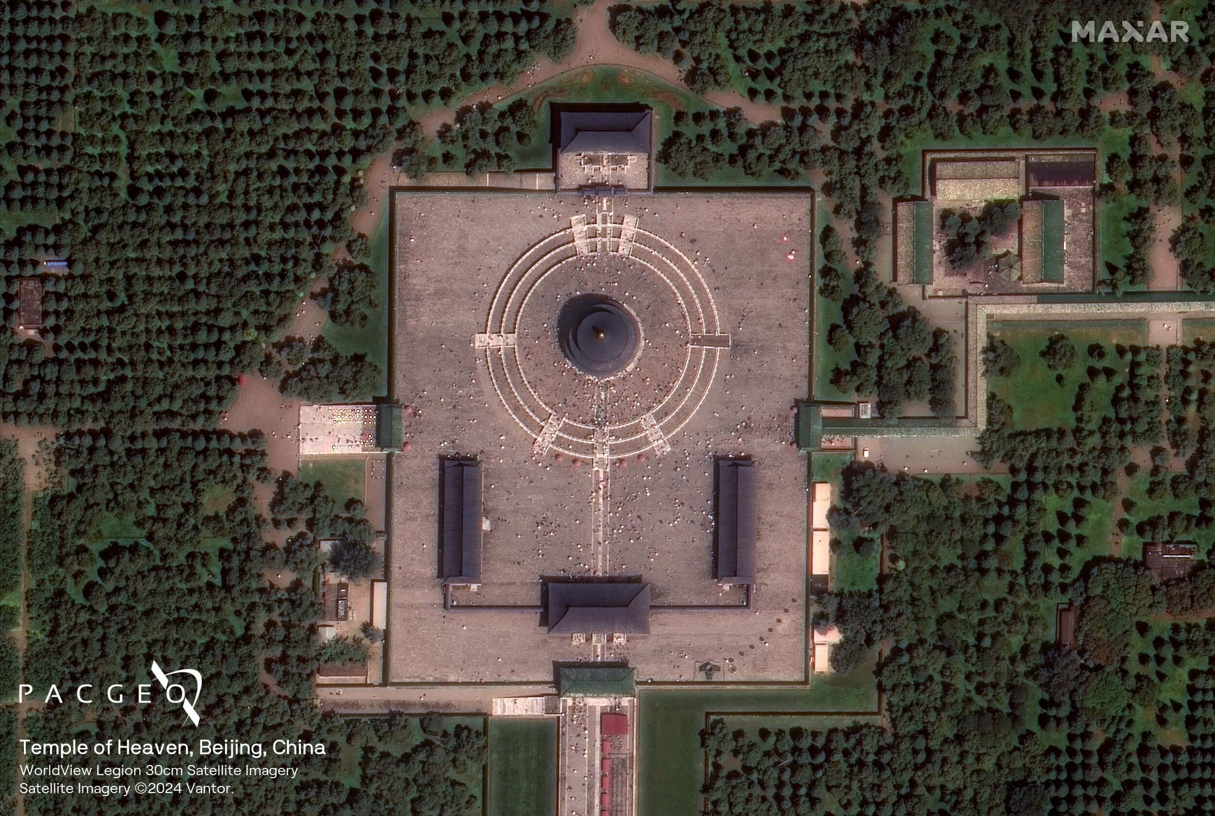
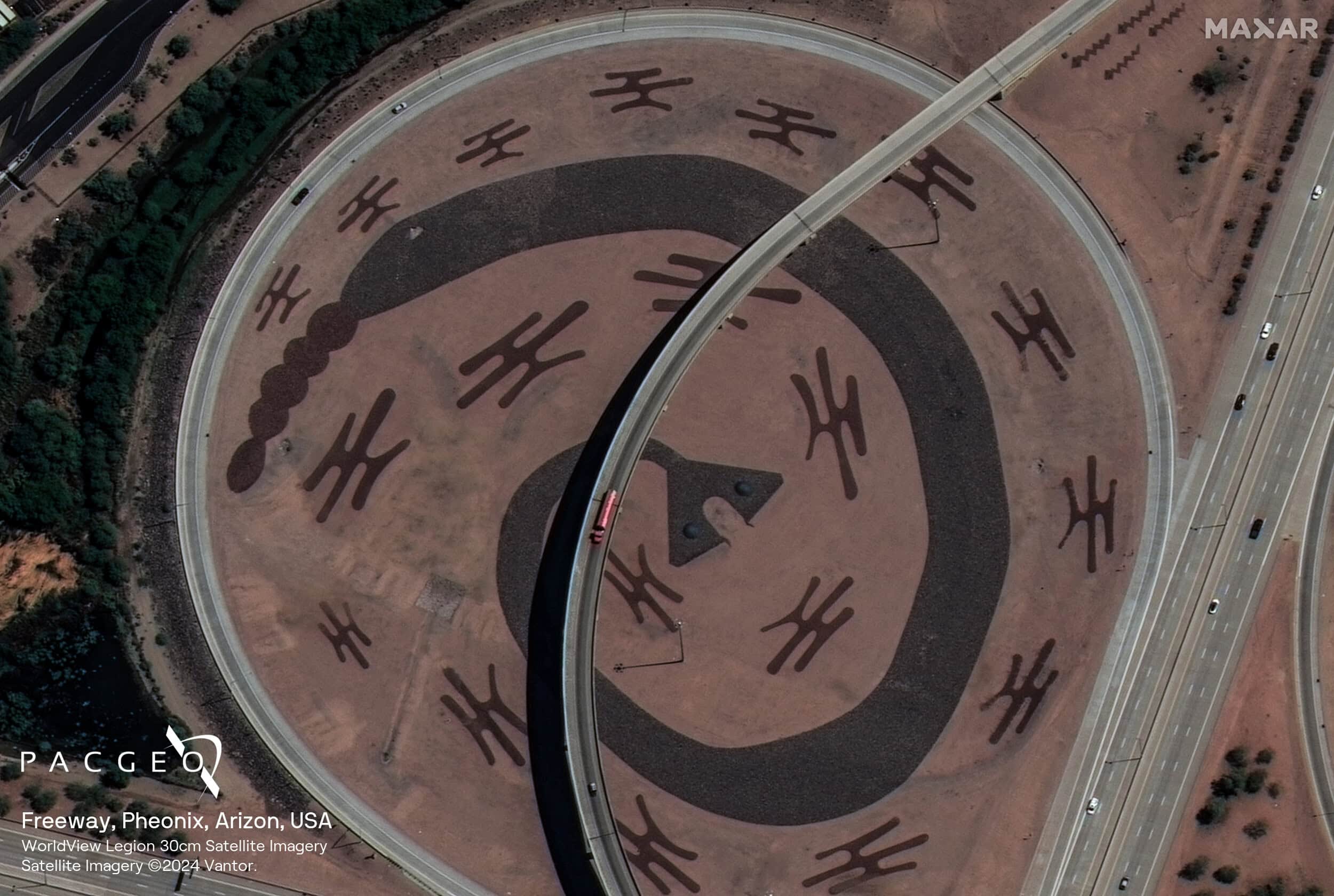
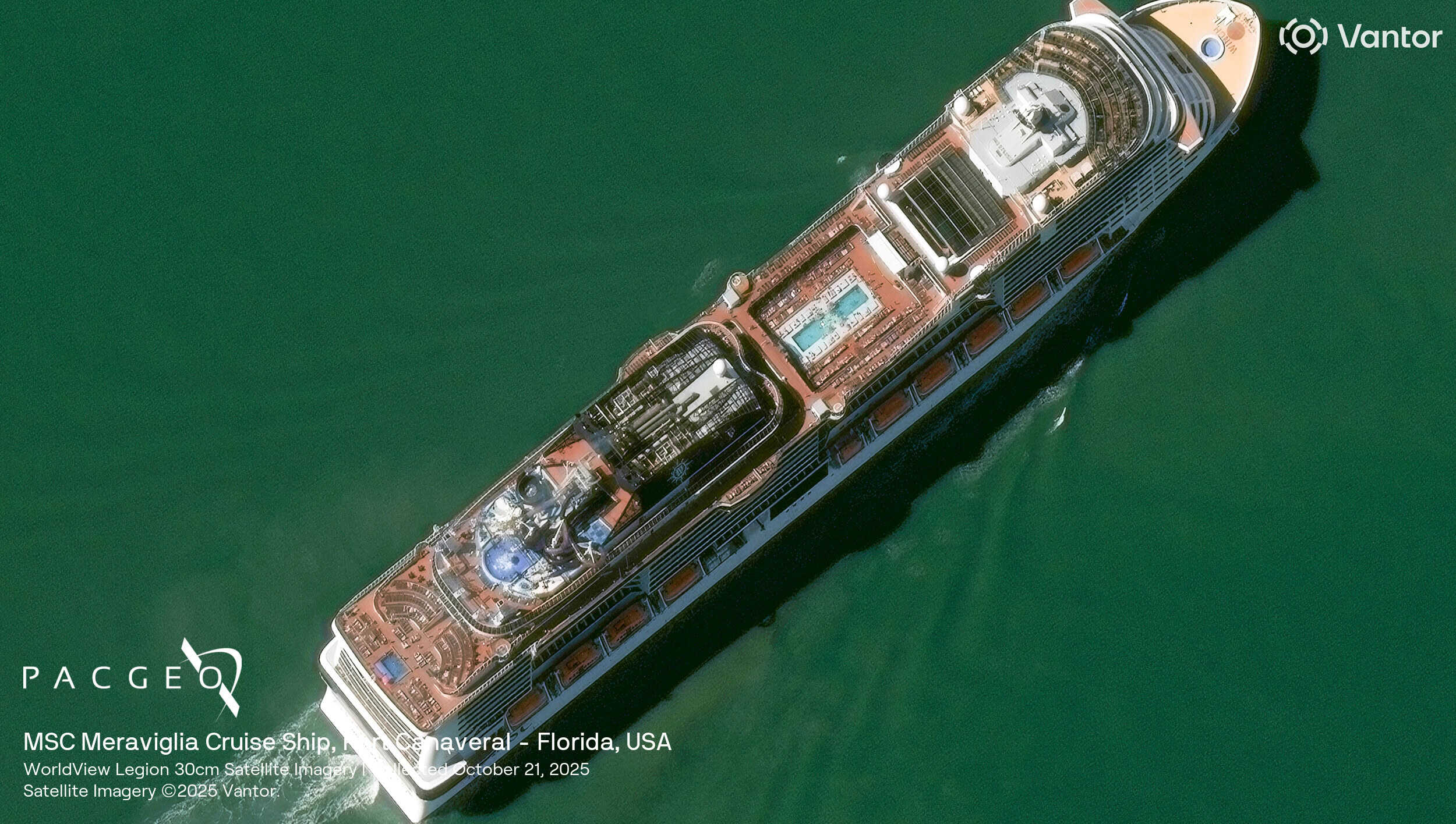
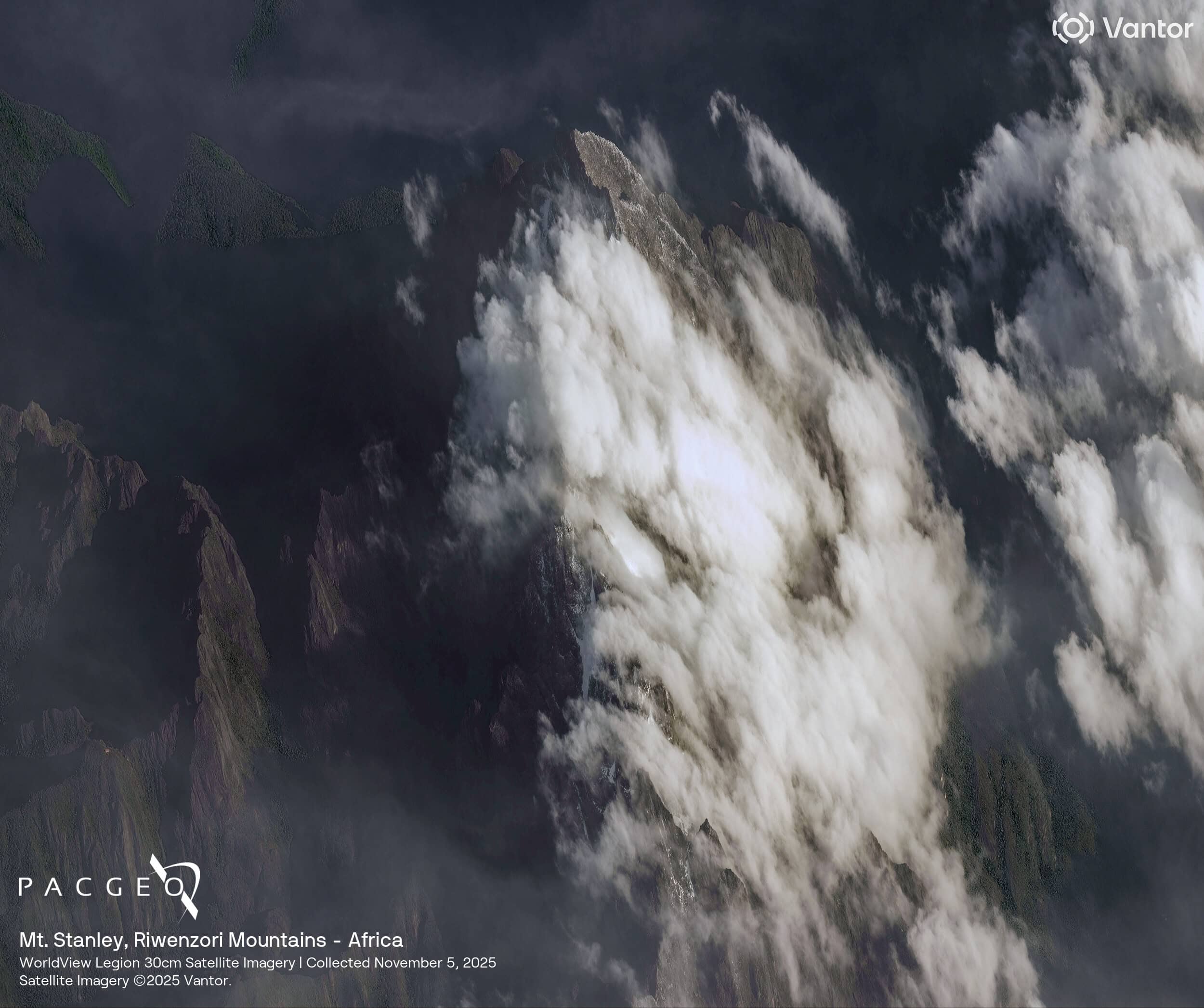
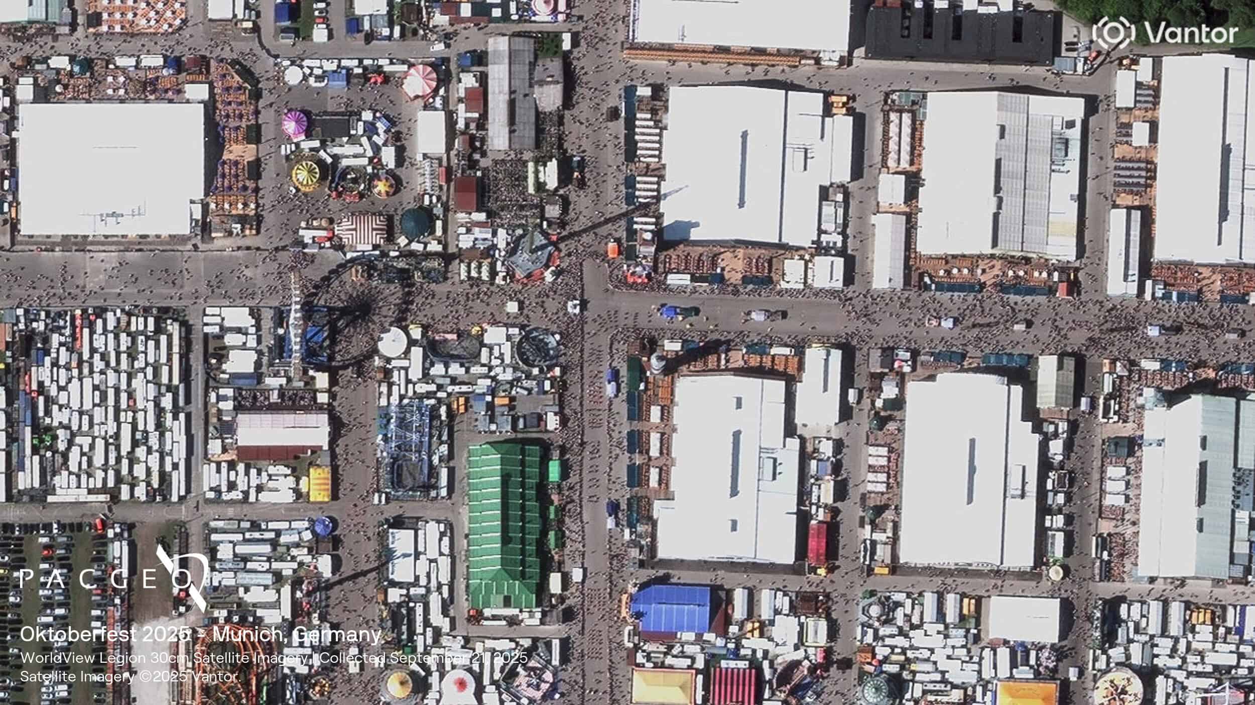
WorldView Legion Samples
Unsure if WorldView Legion is right for your project?
You shouldn’t have to be an expert in high-resolution satellite imagery to find what you need.
Our team is dedicated to making the process easy for you. All you have to do is tell us the problem. We find the answers from a vendor-agnostic perspective and present you with clear, simple solutions.
Tell us the problem
Explain the situation to us on your terms. We’ll translate it into the world of Satellite Imagery.
Review Your Options
Be presented with a simple choice of the top 2-3 imagery solutions for your project.
Make confident decisions
Know you have the right data in hand to make the critical decisions that keep your project moving forward.