

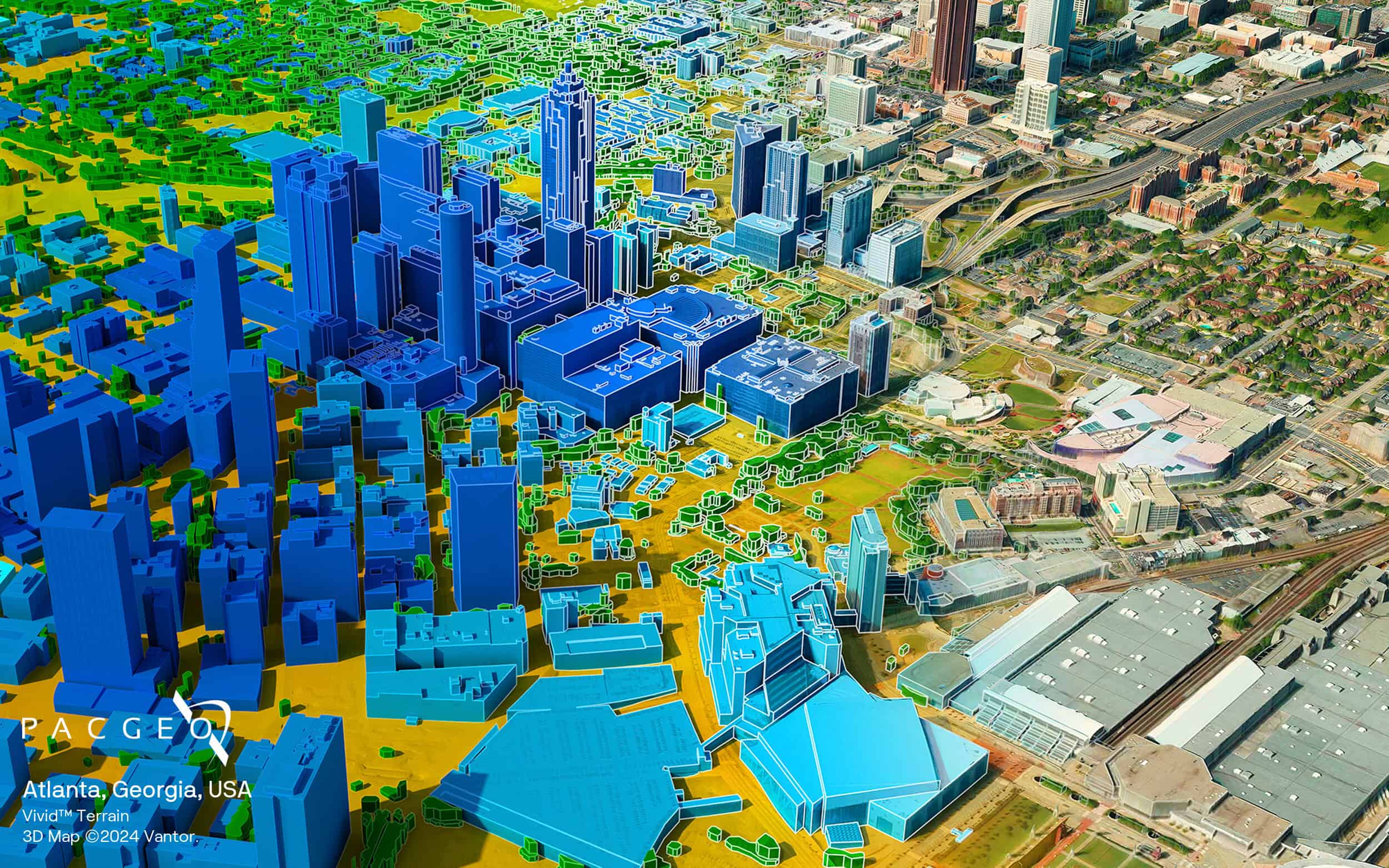
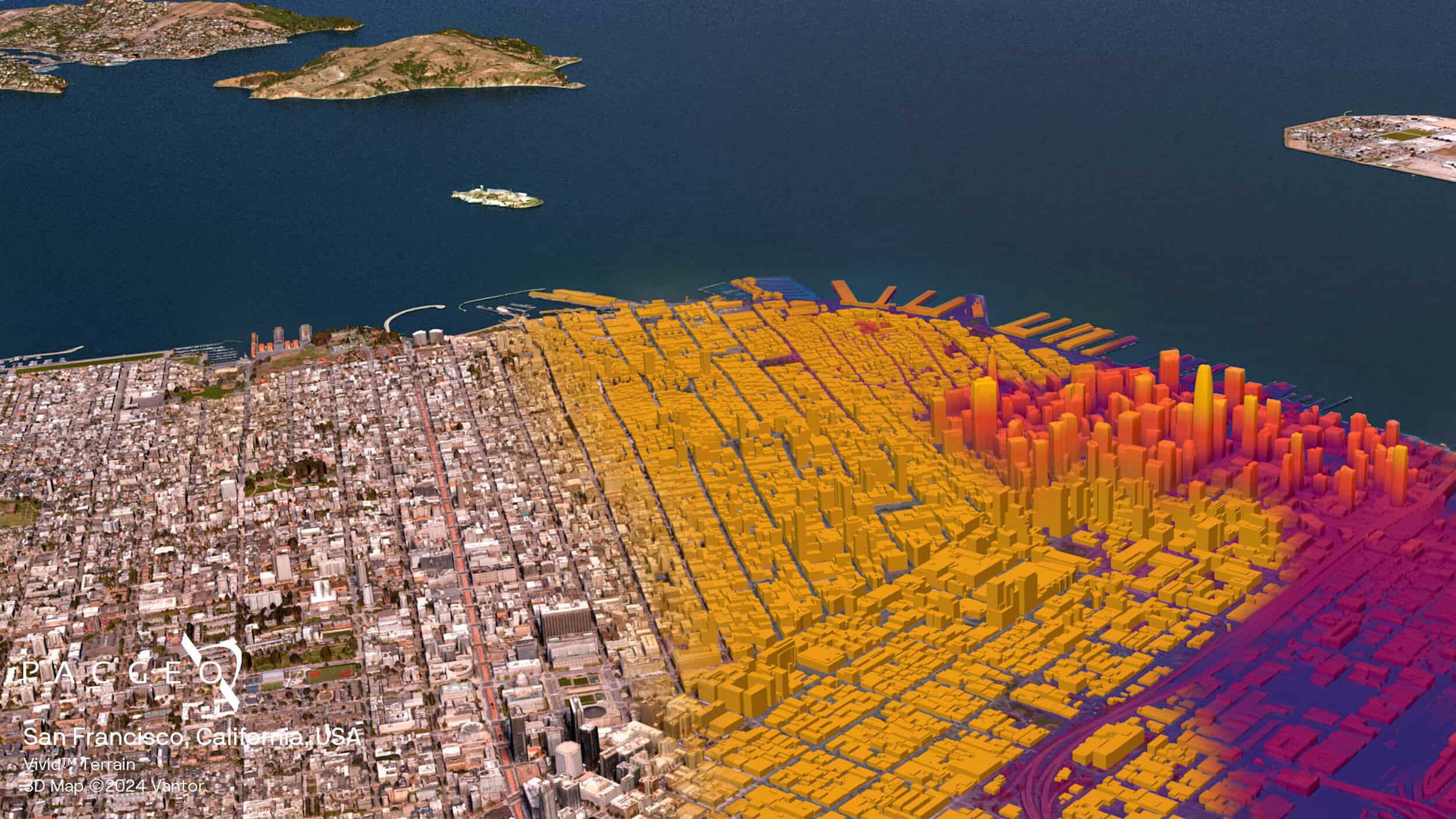
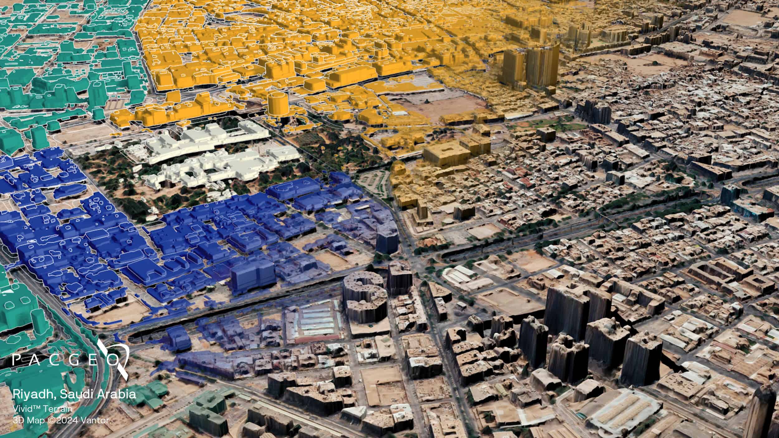
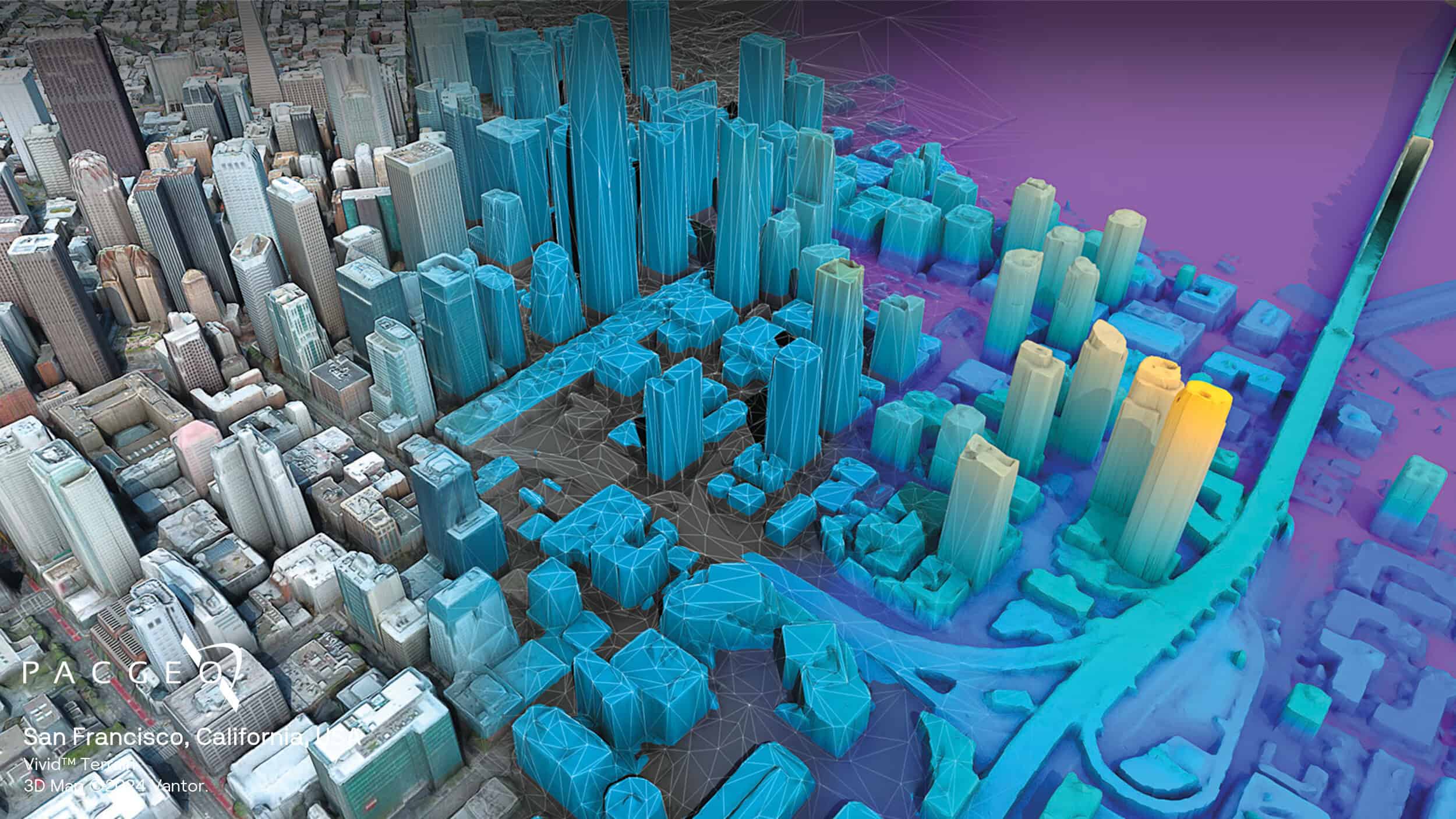
Vivid Terrain
Vantor’s Vivid Terrain delivers accurate elevation data essential for mapping, city planning, risk assessment, and civil engineering applications. Built from Maxar’s massive archive of high-quality satellite imagery and powered by automated 3D modeling technology, these products provide precise height measurements with 50 cm post spacing and 3 m absolute accuracy, all without requiring ground control points.
Vivid Terrain delivers consistent results across all surfaces and includes DSM, DTM, Point Cloud, and Buildings vectors, giving you the complete 3D perspective needed to analyze situations that matter to your organization.
Available in 50cm and 5m resolution options
High accuracy without ground control points
Created from Maxar's vast satellite imagery archive

Vivid Terrain Specs
Product type
Digital Elevation Model (DEM):
Digital Surface Model (DSM)
Digital Terrain Model (DTM)
Resolution
50 cm
Coverage
Global, on demand
Satellite data
Vantor's Constellation
Accuracy
Without ground control points (GCPs):
Absolute: 3 m LE90 / 3 m CE90
Relative: 1 m LE90 / 1 m CE90
Format
GeoTIFF, 32-bit float
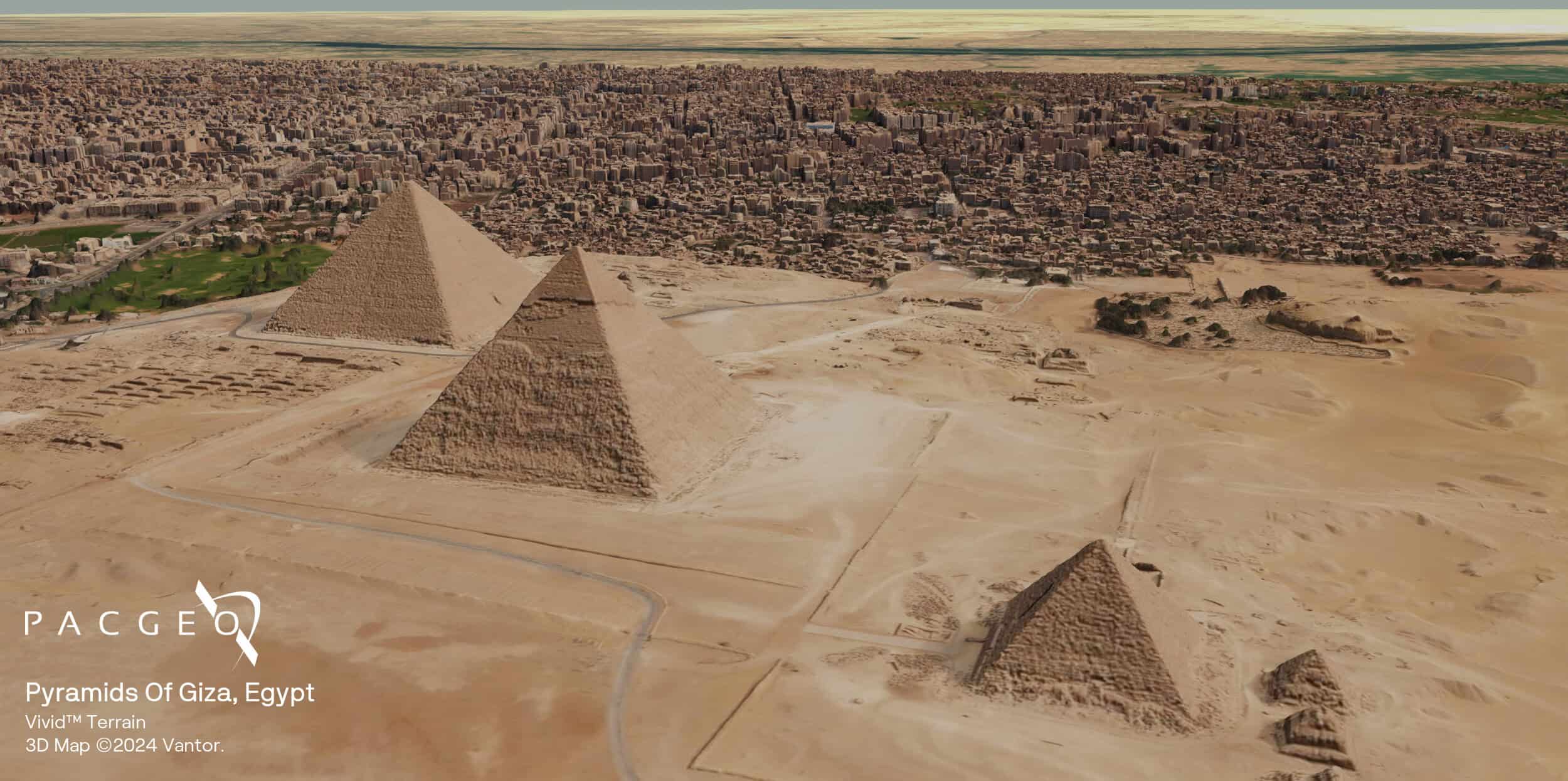
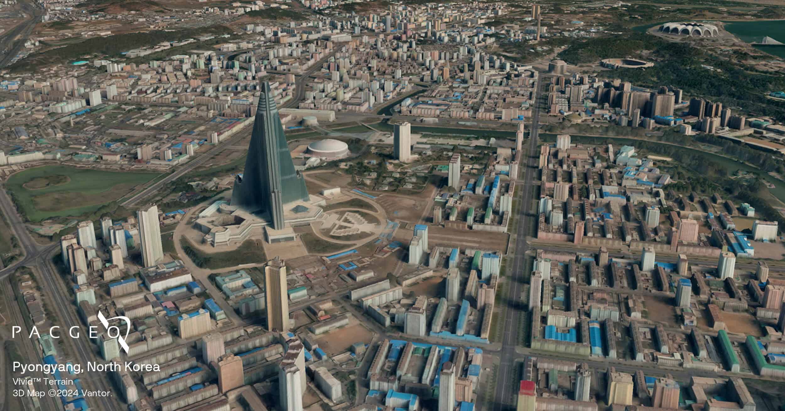
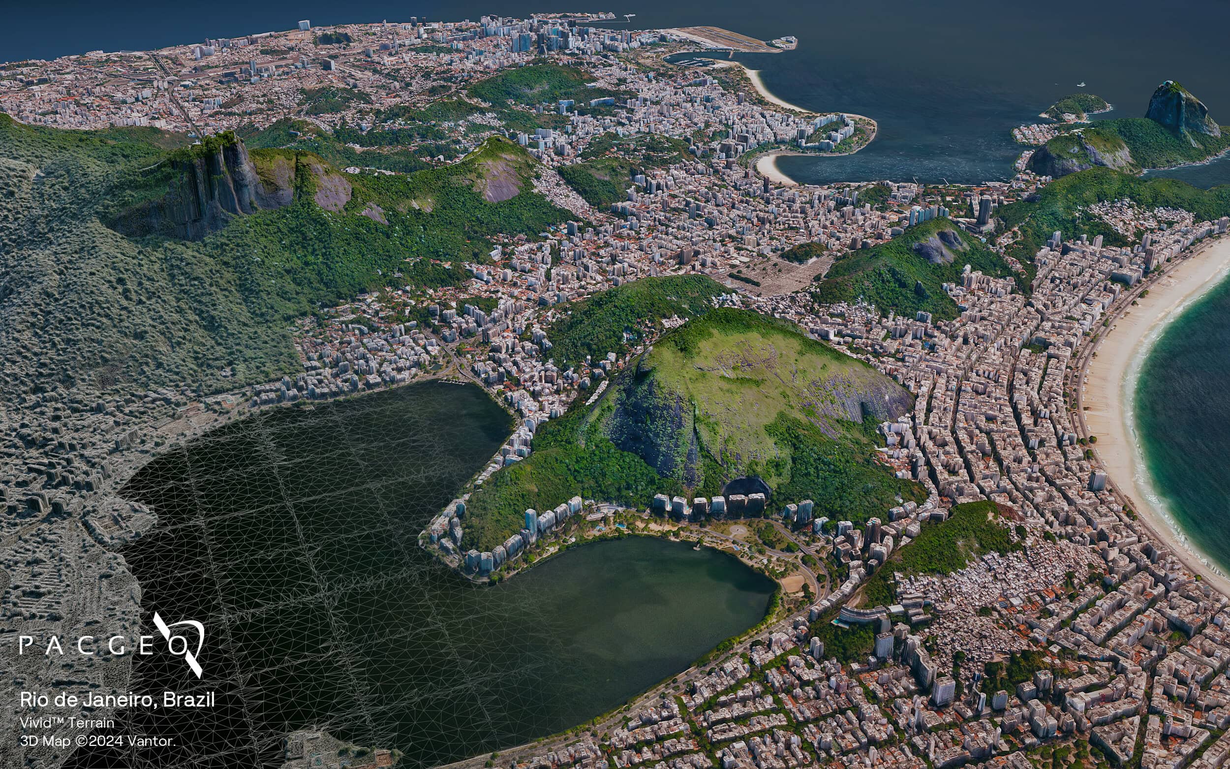
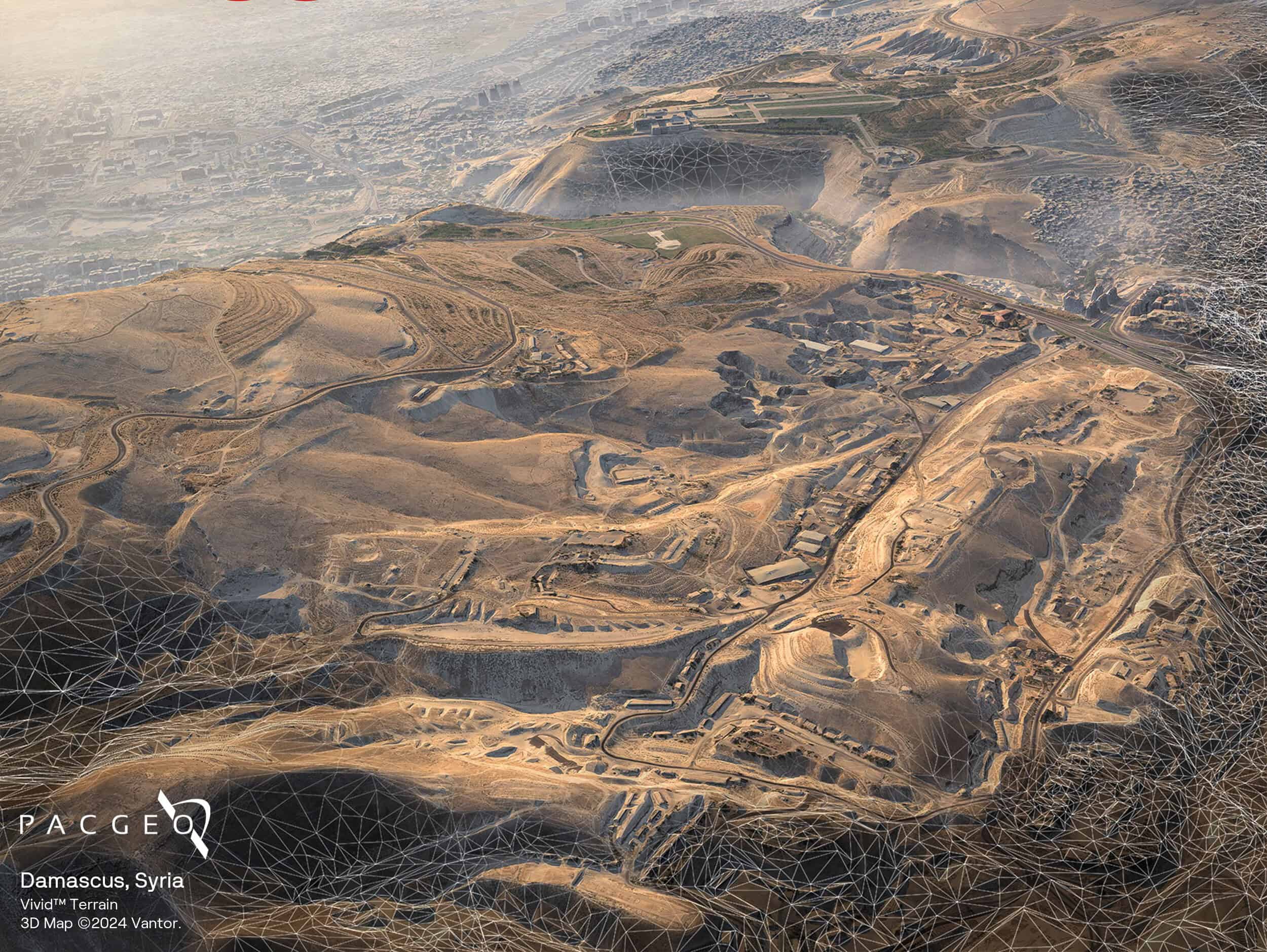
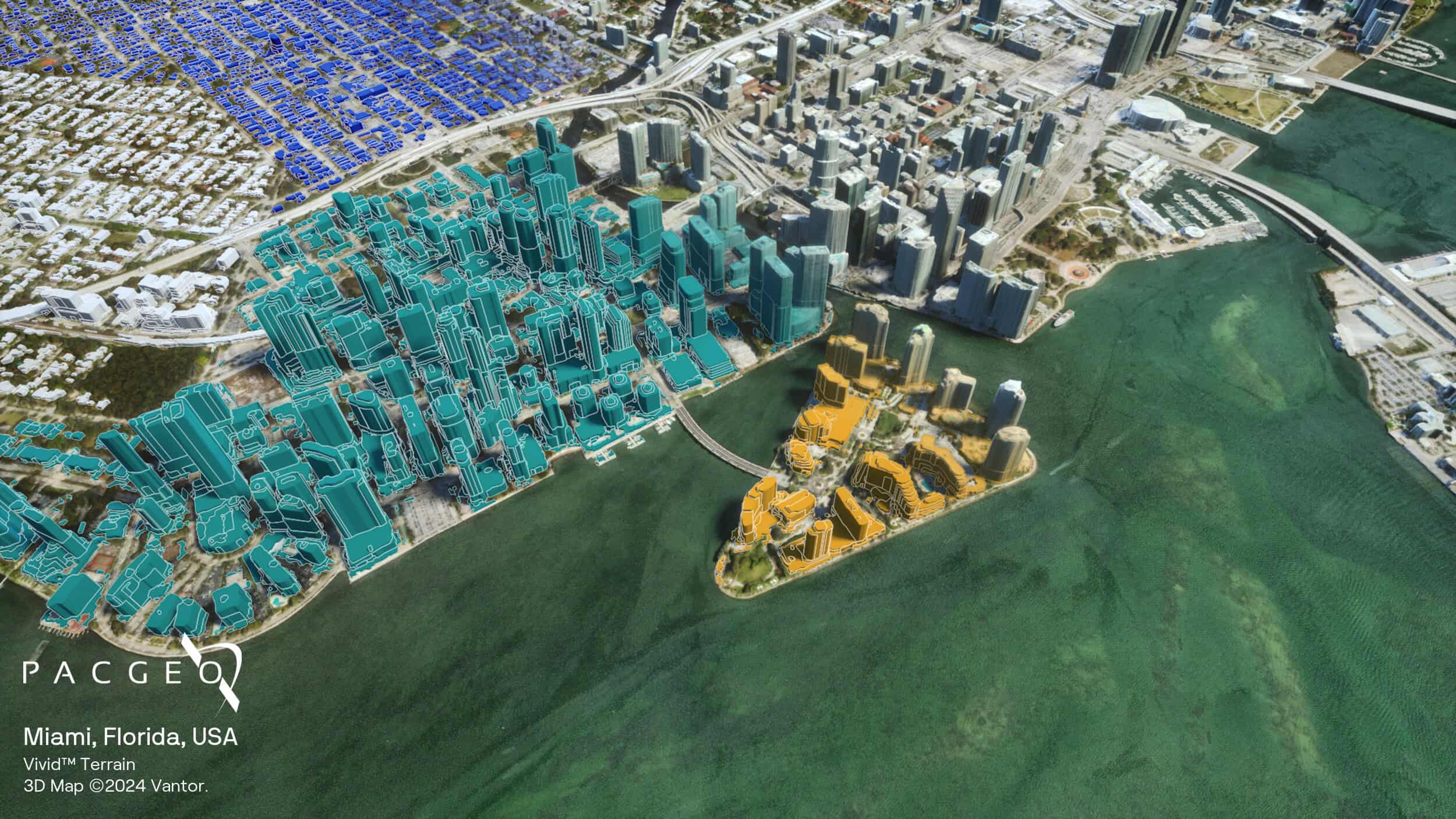
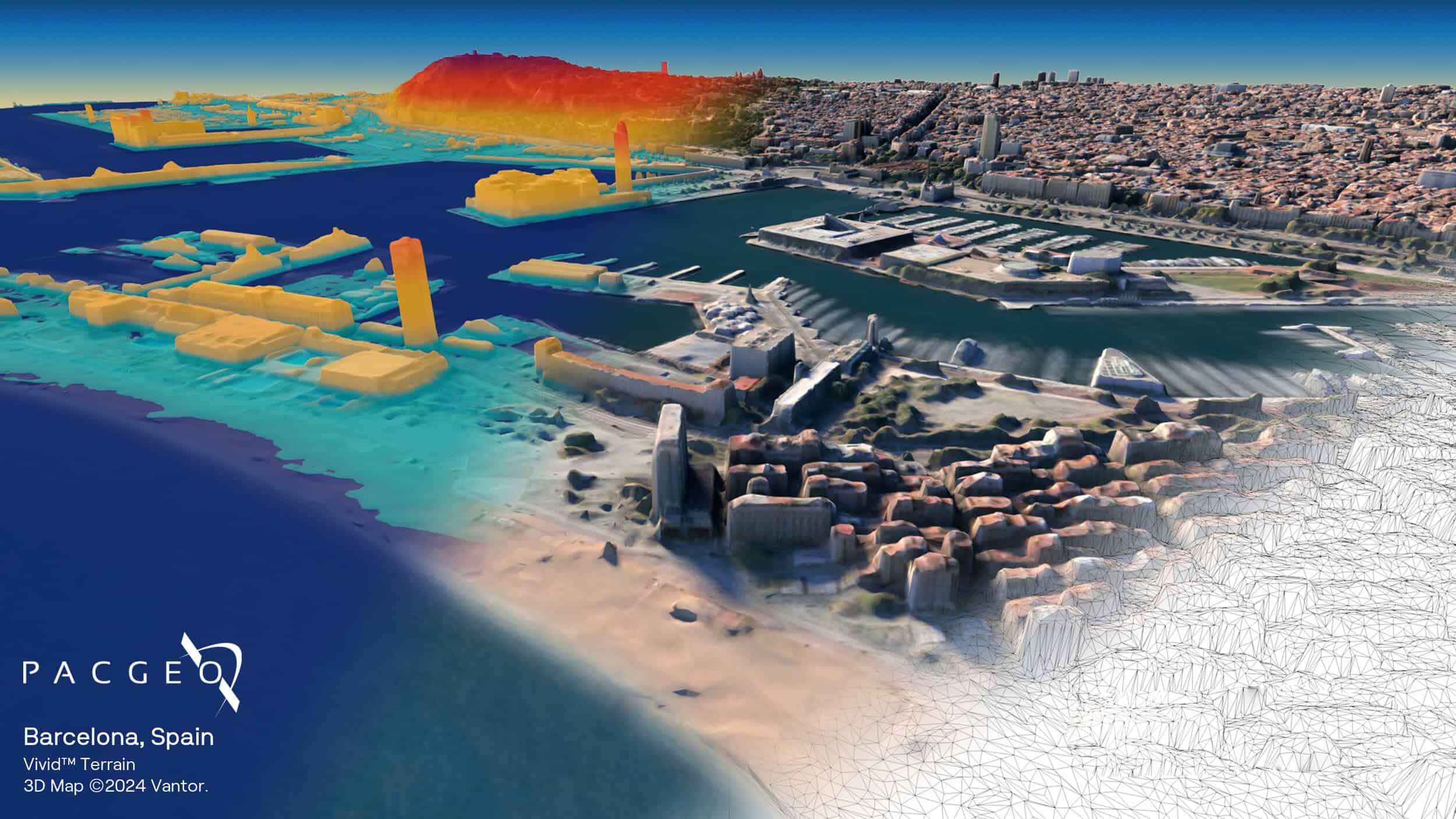
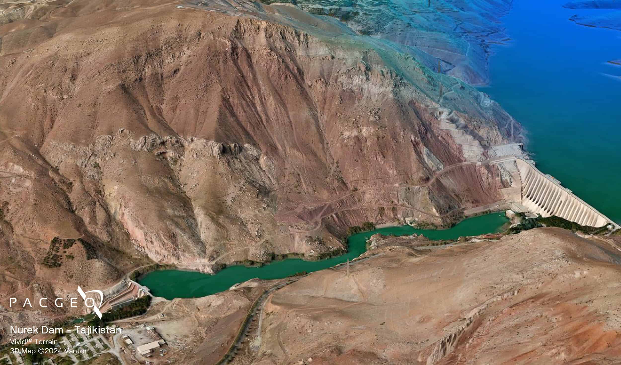
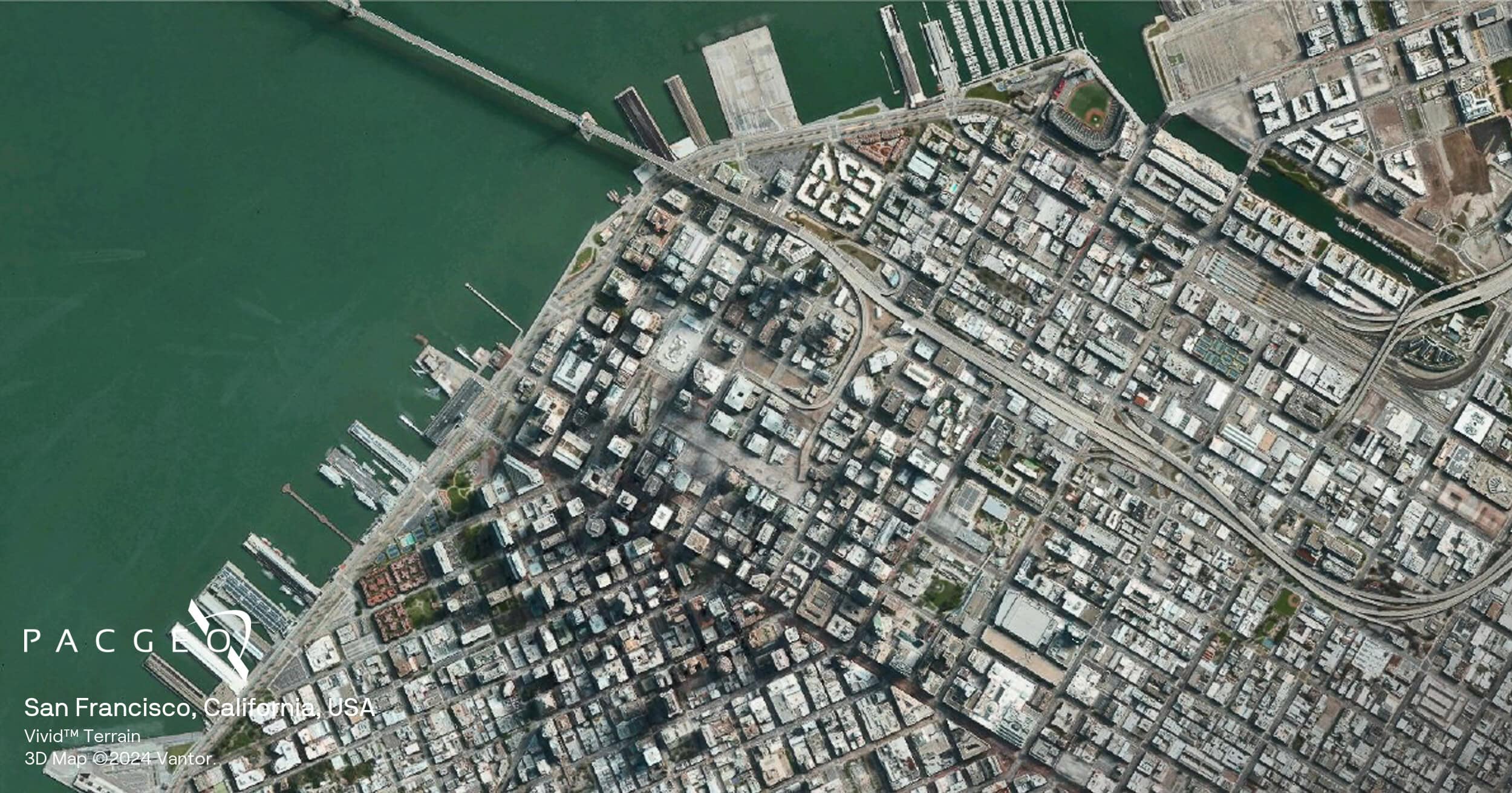
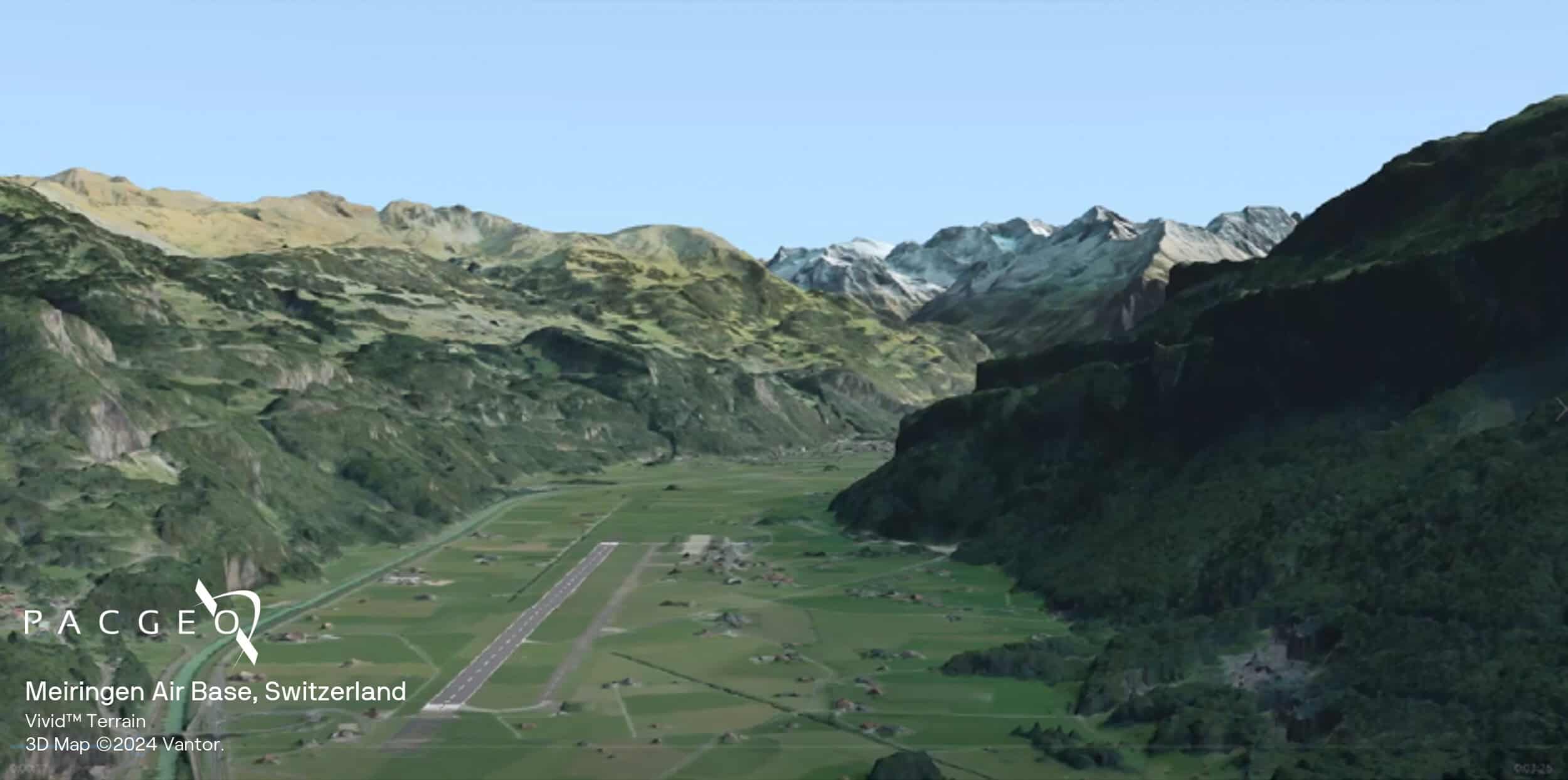
Vivid Terrain Samples


Unsure if Vivid Terrain is right for your project?
You shouldn’t have to be an expert in high-resolution satellite imagery to find what you need.
Our team is dedicated to making the process easy for you. All you have to do is tell us the problem. We find the answers from a vendor-agnostic perspective and present you with clear, simple solutions.
Tell us the problem
Explain the situation to us on your terms. We’ll translate it into the world of Satellite Imagery.
Review Your Options
Be presented with a simple choice of the top 2-3 imagery solutions for your project.
Make confident decisions
Know you have the right data in hand to make the critical decisions that keep your project moving forward.


