

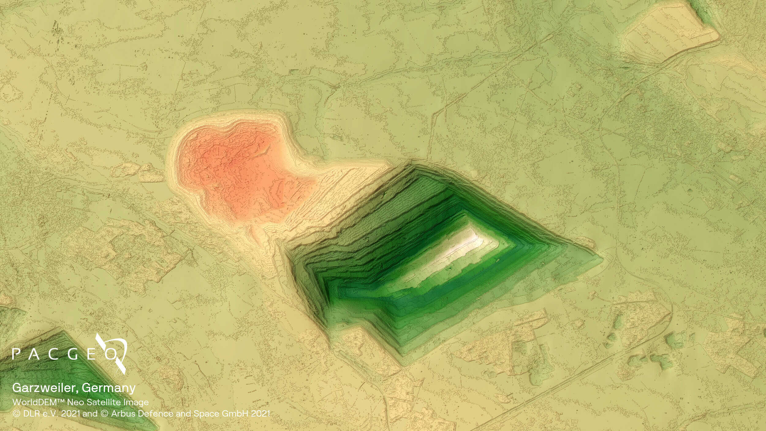
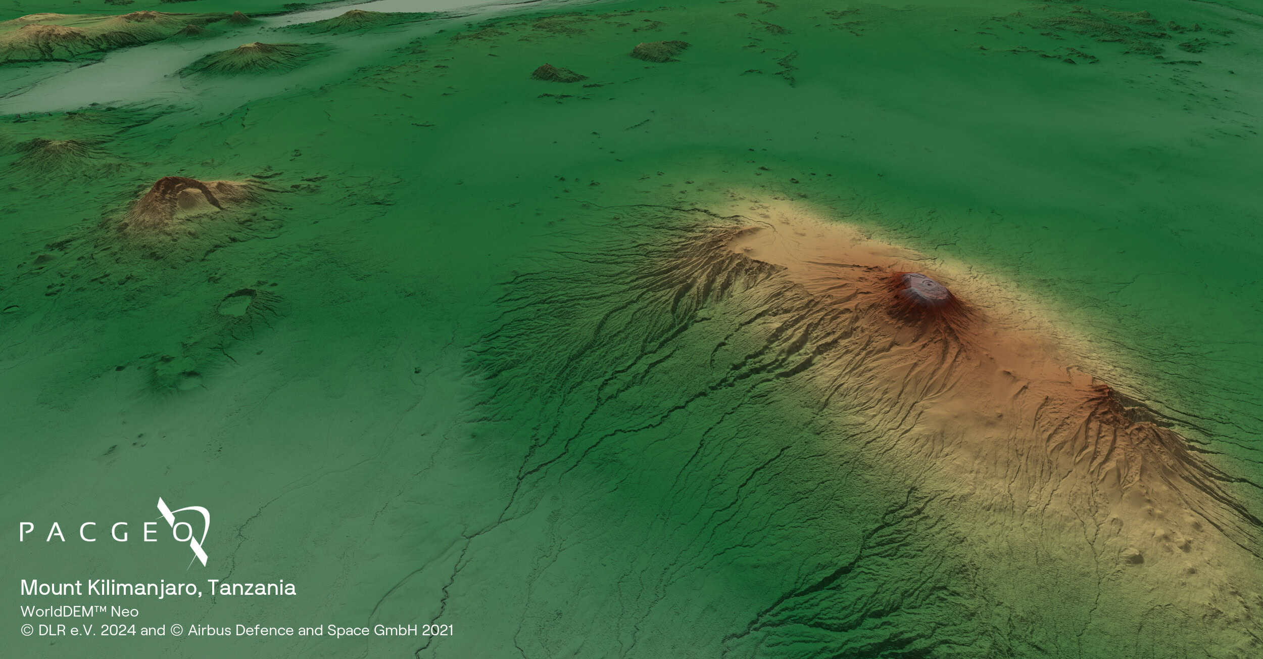
WorldDEM Neo
WorldDEM Neo is the latest global elevation model from Airbus, offering exceptional accuracy and coverage. Combining data from TanDEM-X and TerraSAR-X acquired between 2017 and 2021, with 5m pixel spacing for every spot on earth, WorldDEM Neo sets a new standard for satellite-based Digital Elevation Models.
The product’s homogeneous, seamless, pole-to-pole coverage makes it a robust reference layer for risk assessments and global phenomena investigations. WorldDEM Neo has proven valuable for applications ranging from mineral exploration, infrastructure planning, line of sigh analysis, hydrological modeling to defence operations, with easy ordering available through the OneAtlas.
Available as DSM and DTM formats
5m pixel spacing for global coverage
High vertical accuracy with homogeneous data
Derived from SAR interferometry

WorldDEM Neo Specs
Product type
Digital Elevation Model (DEM):
Digital Surface Model (DSM)
Digital Terrain Model (DTM)
Resolution
5 m
Coverage
Global, off-the-shelf
Satellite data
TanDEM-X Mission
Primarily acquired 2017 - 2021
Accuracy
Without ground control points (GCPs):
Absolute: 1.4 m LE90 / 6 m CE90
Relative: 2/4 m LE90 (slope depending)
Minimum AOI
DSM: 100 km²
DTM: 1,000 km² (level 1)
DTM: 100 km² (level 2)
Format
GeoTIFF, 32-bit float


Unsure if WorldDEM Neo is right for your project?
You shouldn’t have to be an expert in high-resolution satellite imagery to find what you need.
Our team is dedicated to making the process easy for you. All you have to do is tell us the problem. We find the answers from a vendor-agnostic perspective and present you with clear, simple solutions.
Tell us the problem
Explain the situation to us on your terms. We’ll translate it into the world of Satellite Imagery.
Review Your Options
Be presented with a simple choice of the top 2-3 imagery solutions for your project.
Make confident decisions
Know you have the right data in hand to make the critical decisions that keep your project moving forward.


