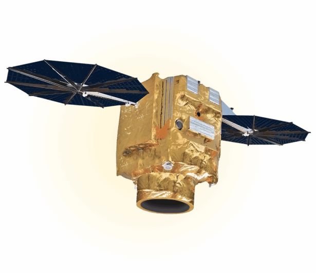
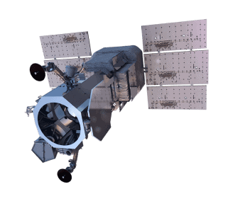
SpaceEye-T
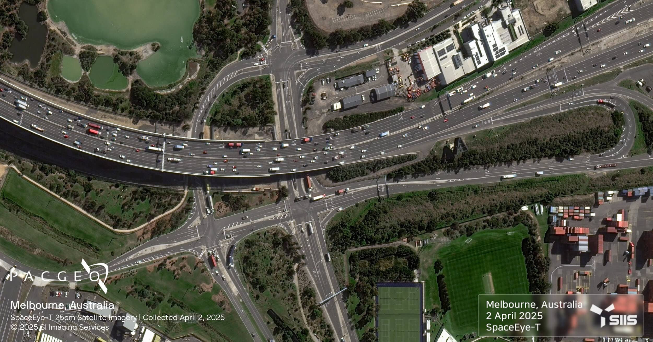
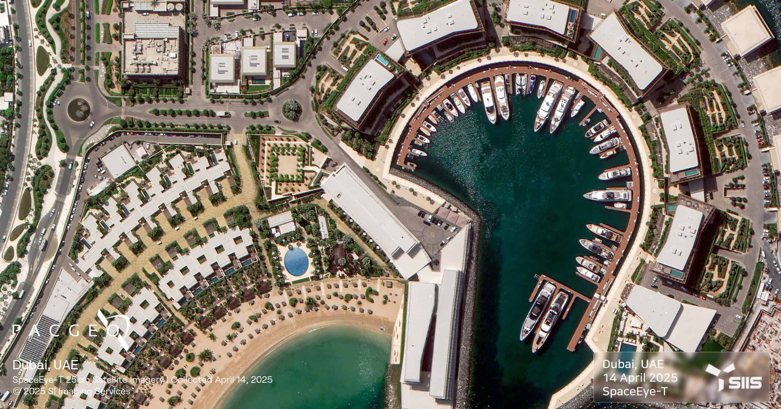
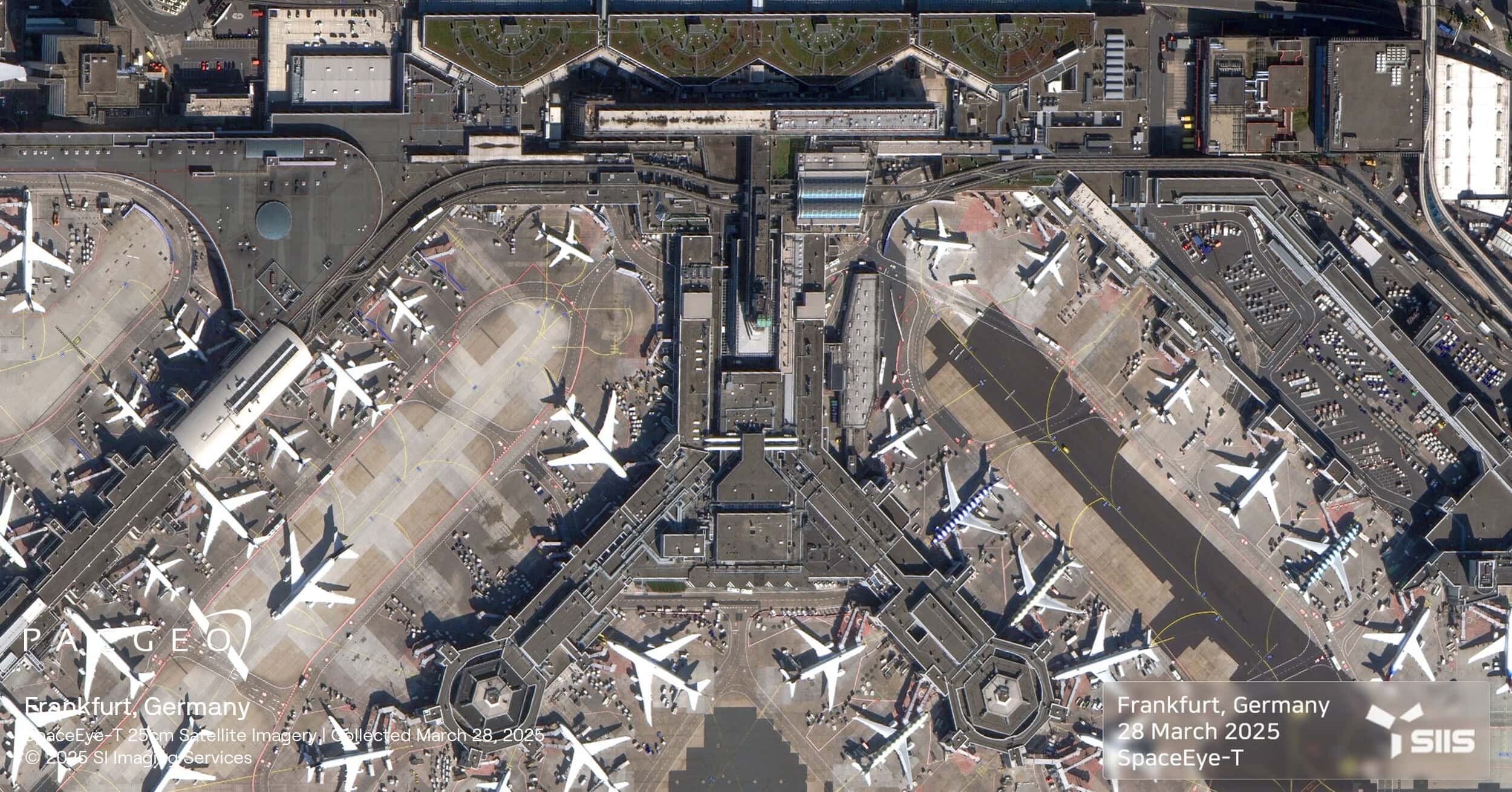
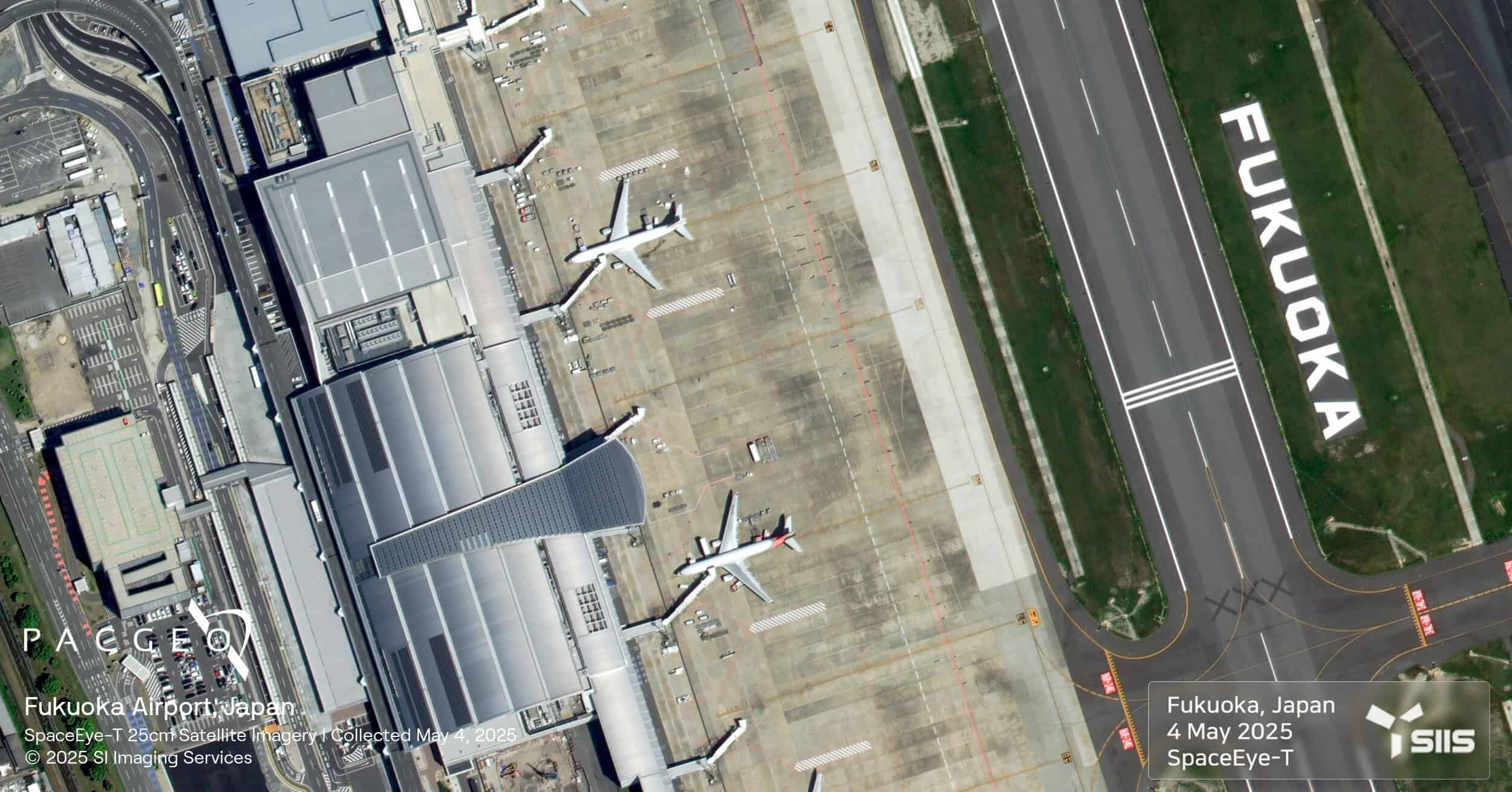
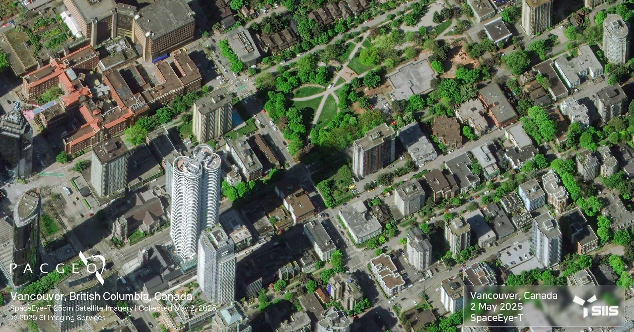
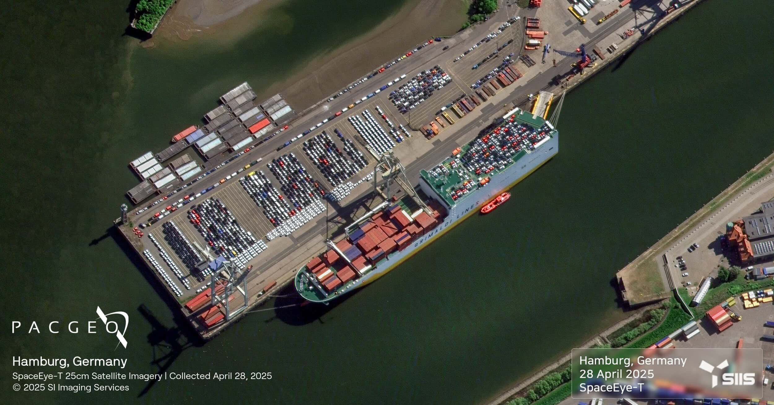
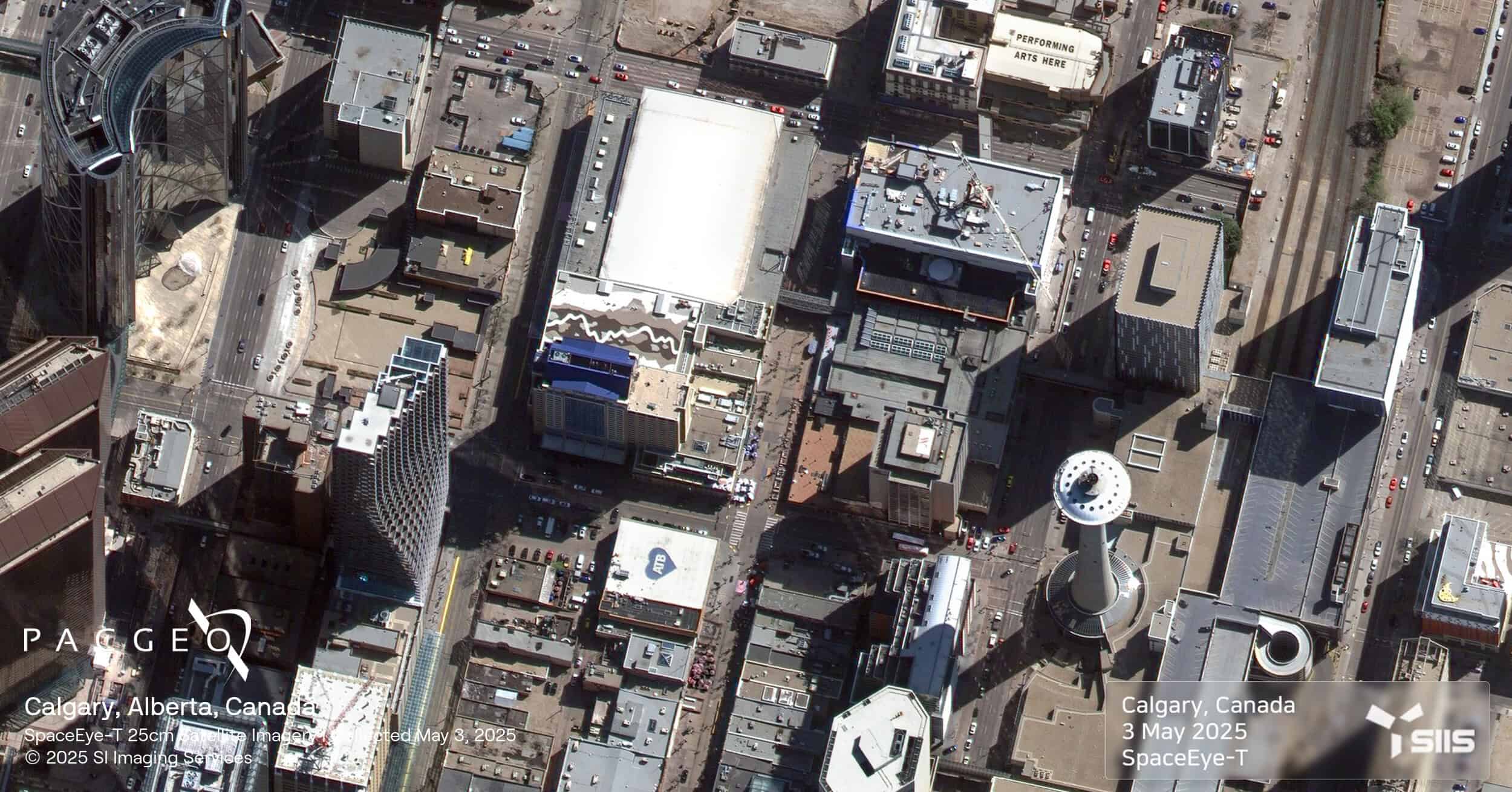
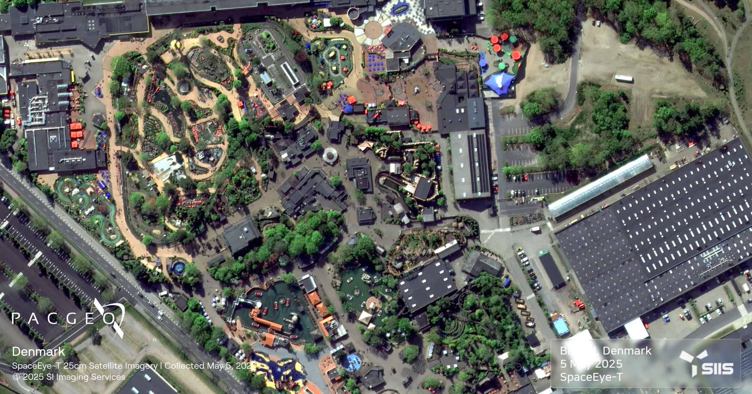
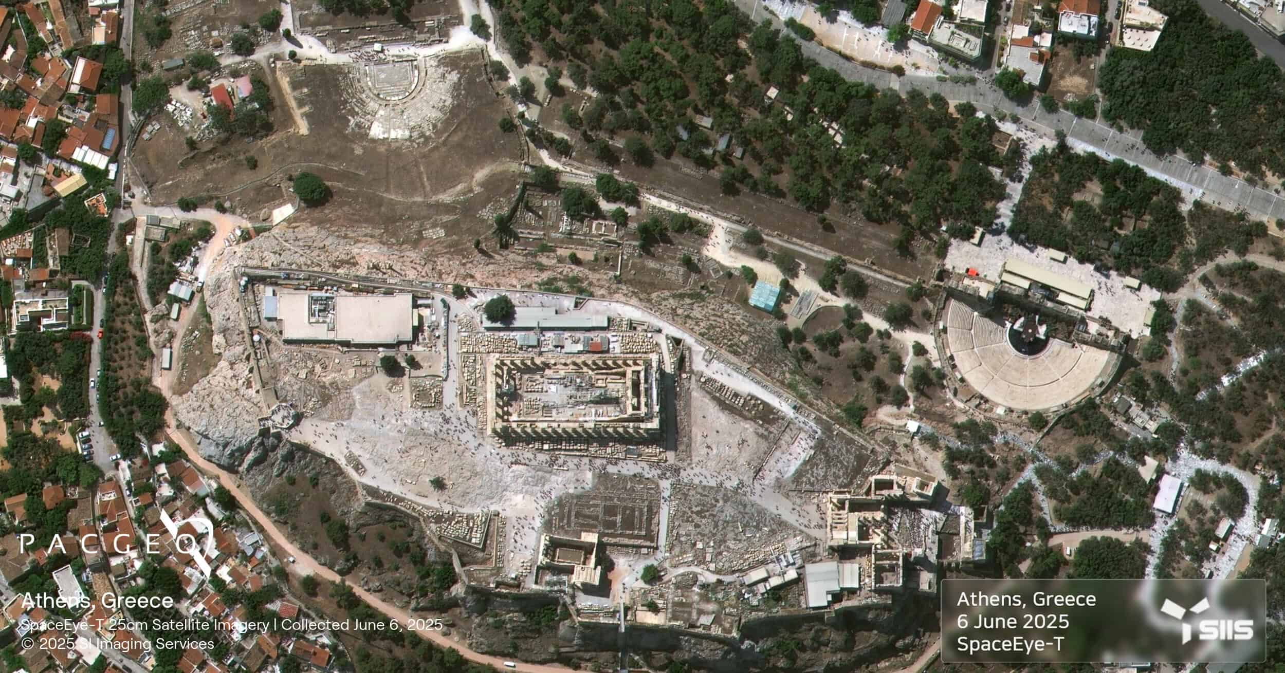
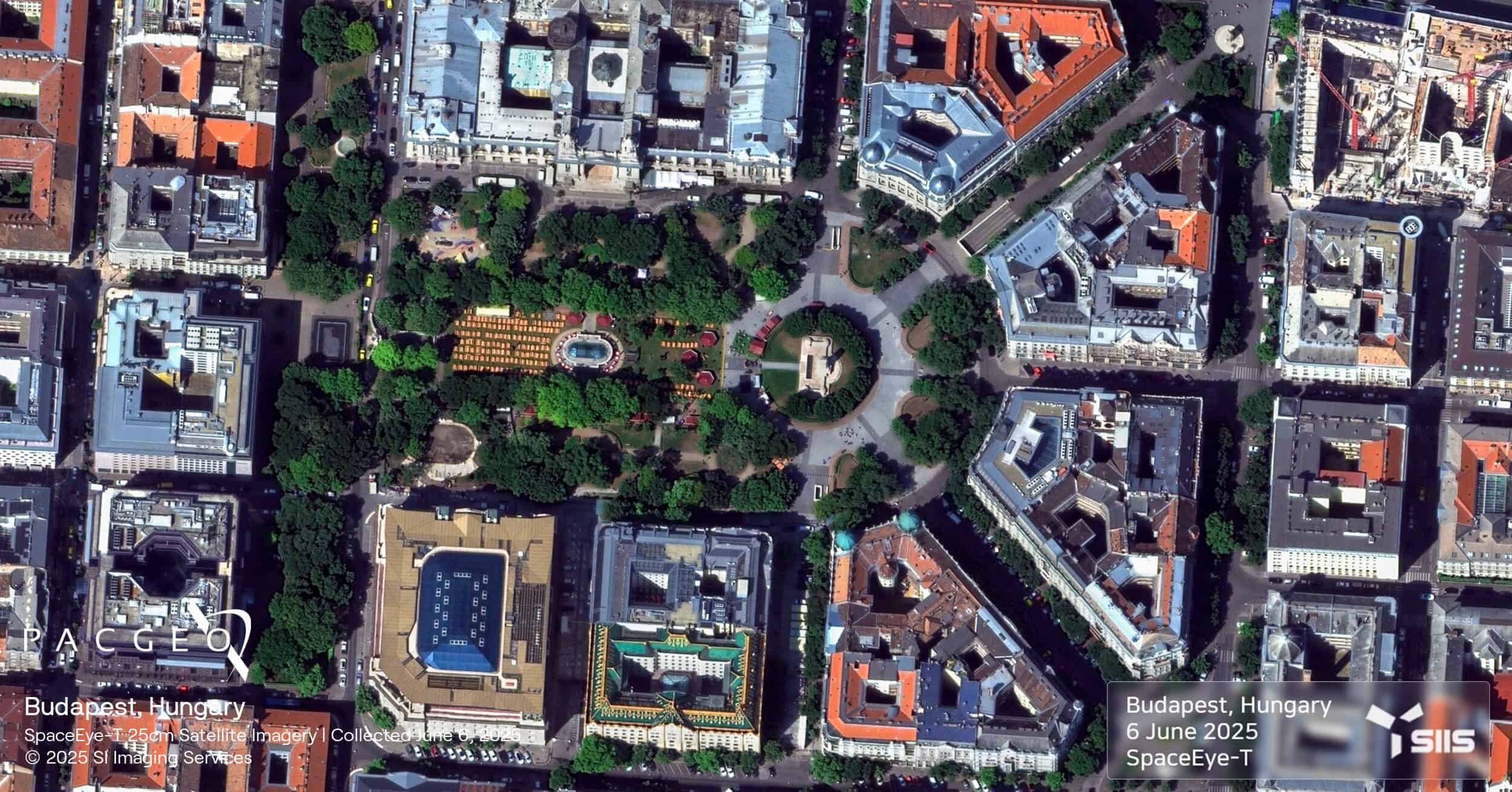
SpaceEye-T is the latest and most advanced satellite from SI Imaging Services (SIIS). Launched in March 2025, SpaceEye-T delivers native 25 cm panchromatic and 1 m multispectral imagery, making it one of the highest resolution optical satellites available.
Its agile payload and rapid data delivery enable near real-time monitoring and intelligence for applications across defence, infrastructure development, precision agriculture, disaster response, and environmental management.
SpaceEye-T satellites, the initial pair in a planned constellation, provide government clients with secure imagery and exclusive tasking authority through their dedicated satellite leasing program.
25 cm resolution for vehicle-level detection
Rapid targeting with agile, multi-mode imaging
Daily revisit potential with future expansion
12 km swath for efficient area coverage
Secure access via exclusive tasking and leasing

SpaceEye-T Specs
Sensor type
Optical
Resolution
Panchromatic: 25 cm
Multispectral: 1 m
Swath width
12 km
Bands
Panchromatic
Multispectral (4 bands)
Orbit
Altitude:: 500 km
Type: Sun-synchronous
Aquisition
Mono, stereo, multistereo


Unsure if SpaceEye-T is right for your project?
You shouldn’t have to be an expert in high-resolution satellite imagery to find what you need.
Our team is dedicated to making the process easy for you. All you have to do is tell us the problem. We find the answers from a vendor-agnostic perspective and present you with clear, simple solutions.
Tell us the problem
Explain the situation to us on your terms. We’ll translate it into the world of Satellite Imagery.
Review Your Options
Be presented with a simple choice of the top 2-3 imagery solutions for your project.
Make confident decisions
Know you have the right data in hand to make the critical decisions that keep your project moving forward.