

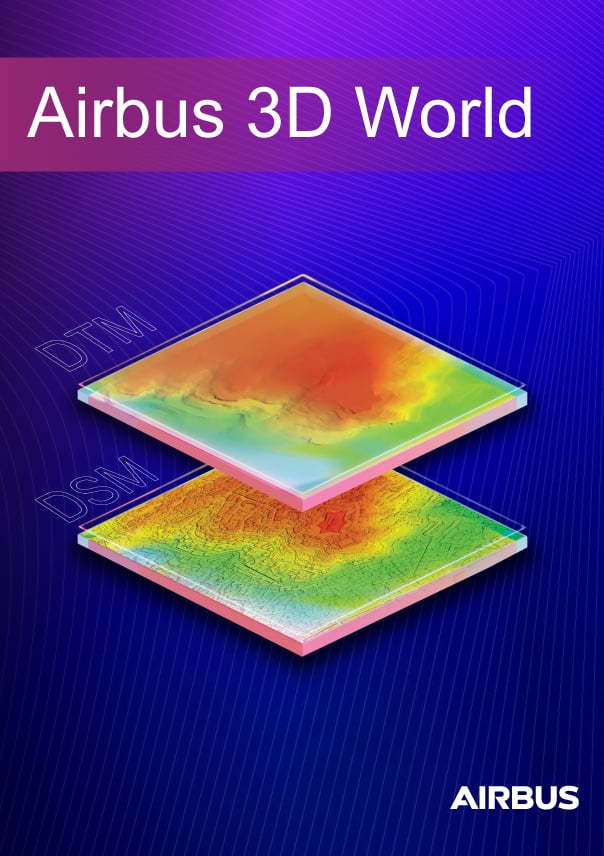
3D World
Airbus 3D World includes a range of Digital Elevation Models (DEM) including DEM 5, DEM 1, and DEM 0.5. Each is available as a Digital Surface Model (DSM) or Digital Terrain Model (DTM).
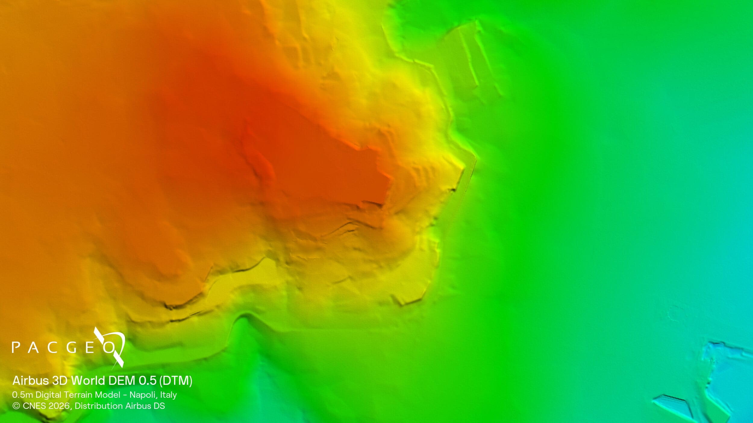
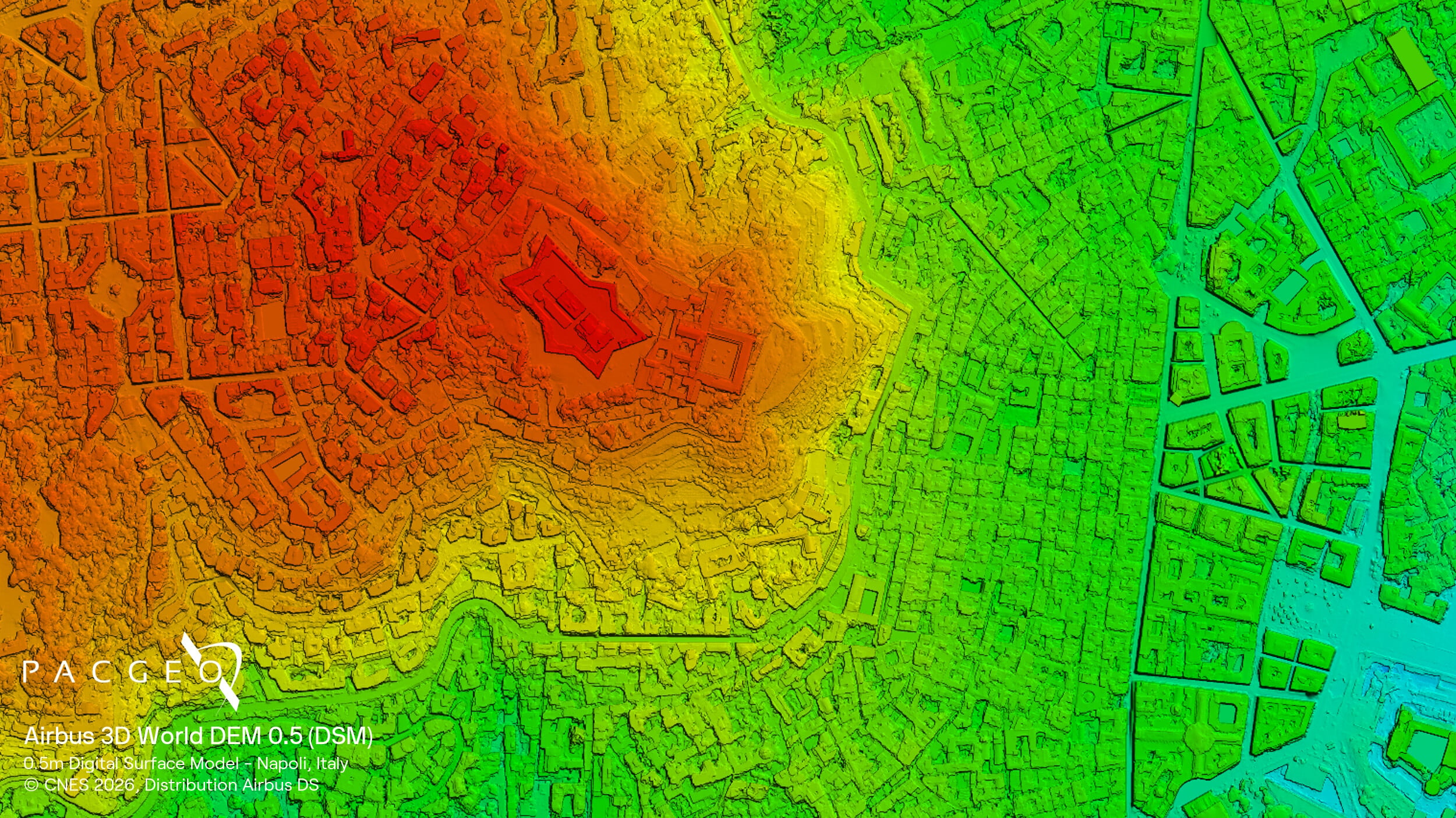
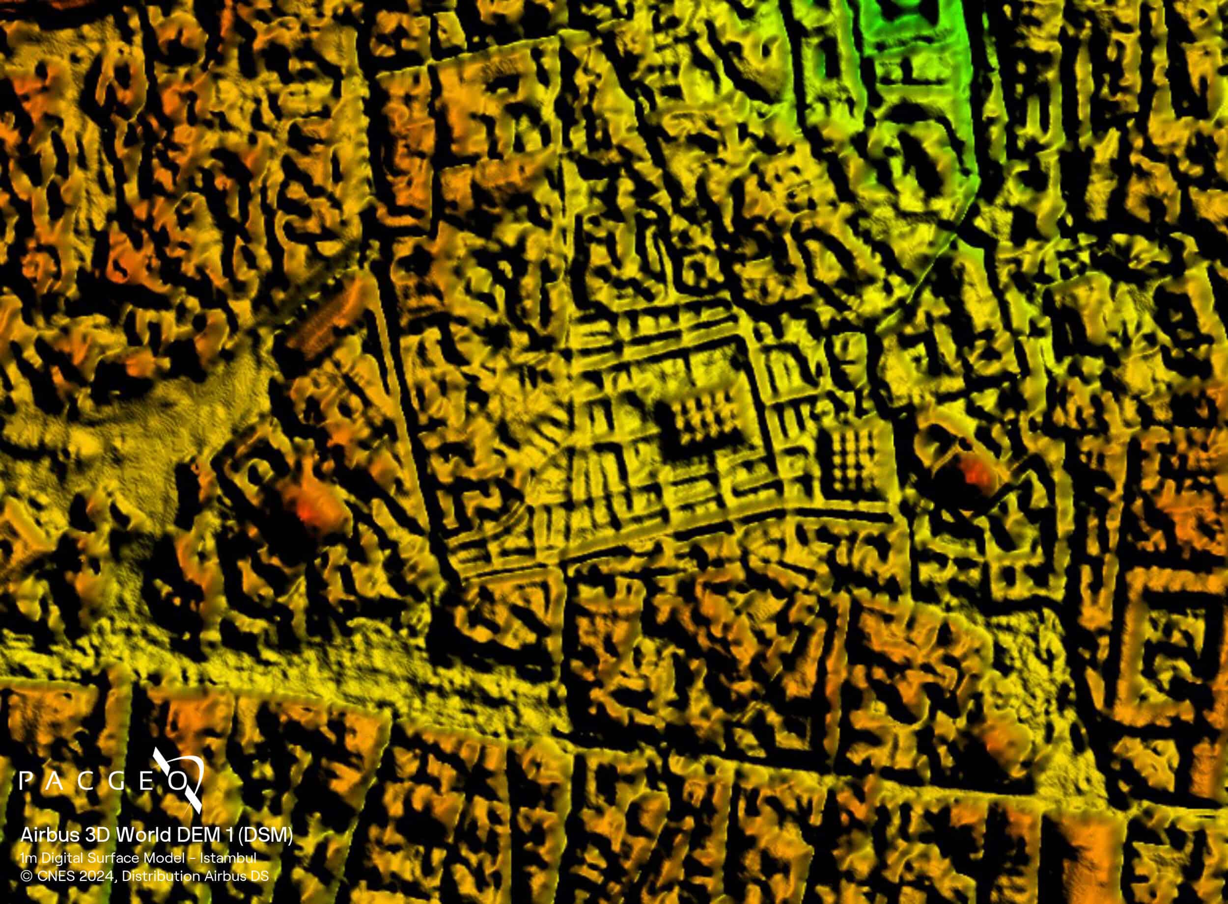
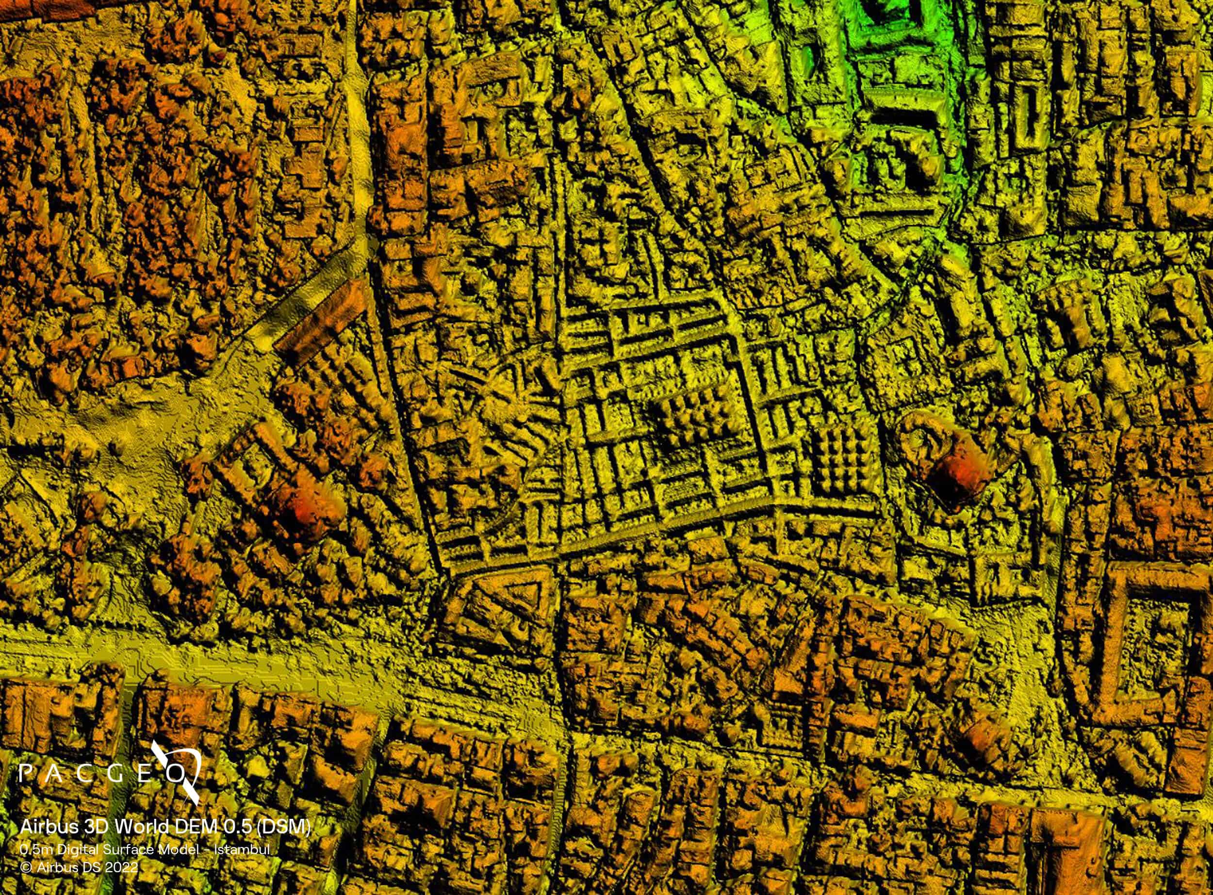
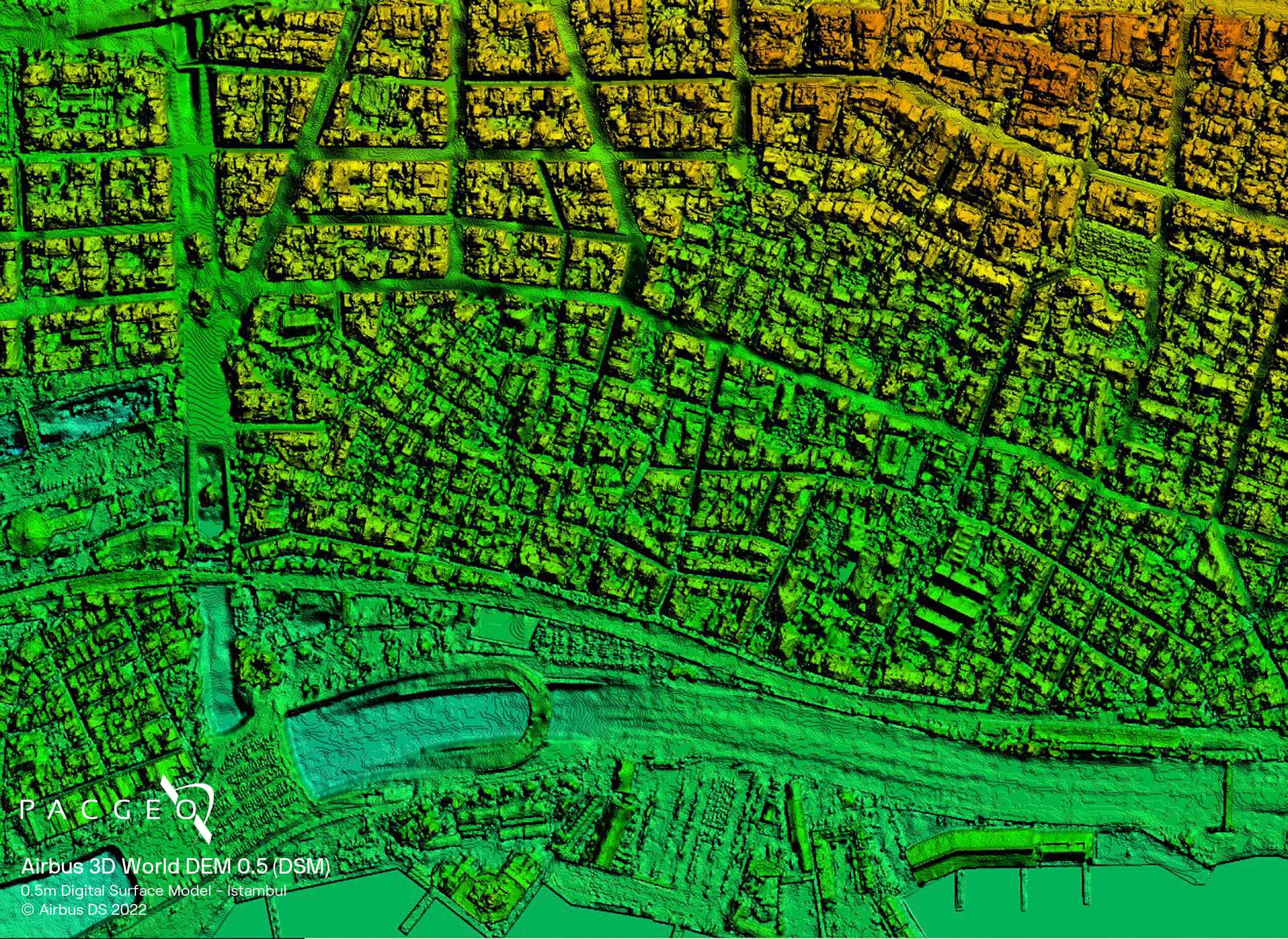
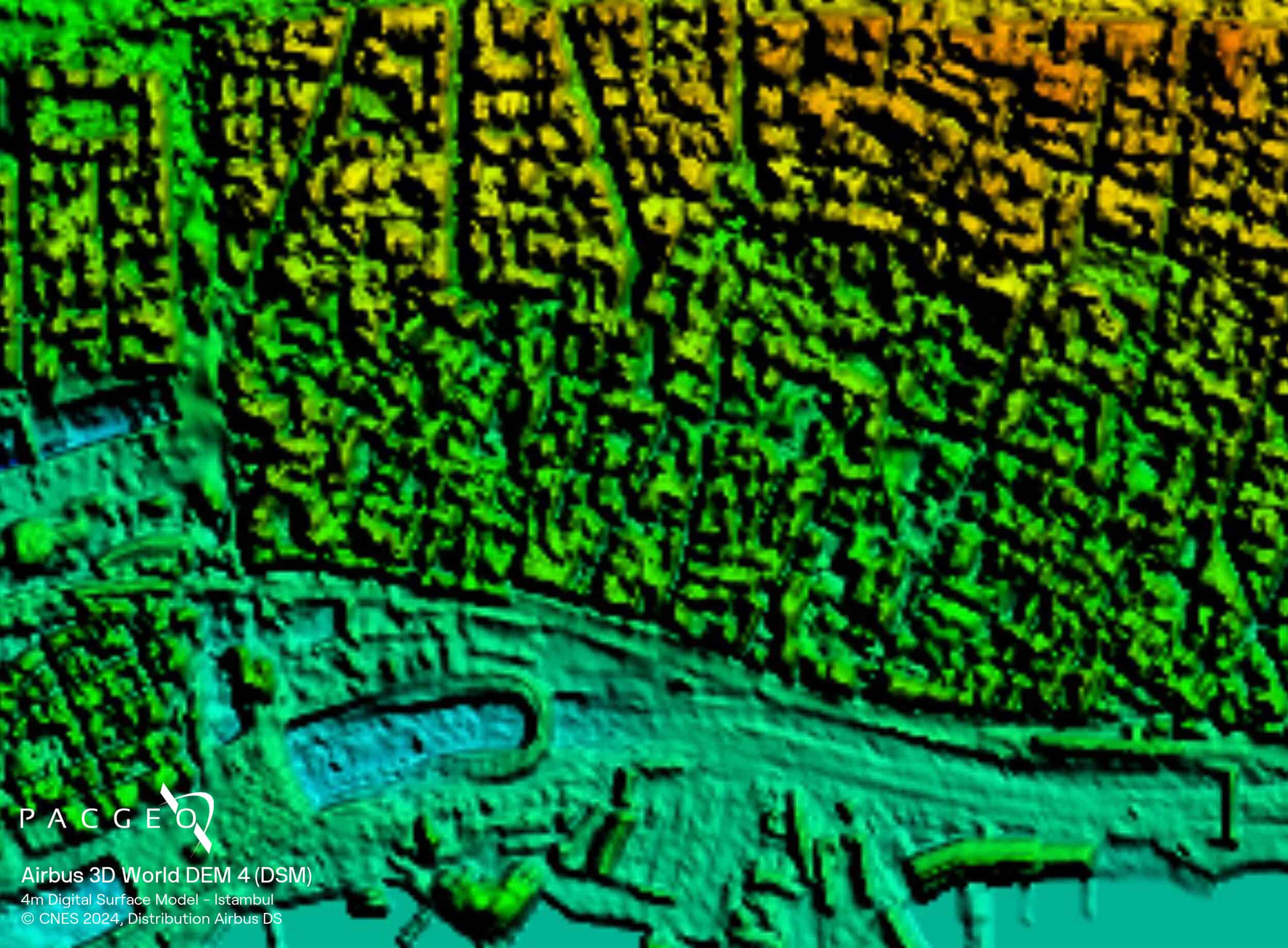
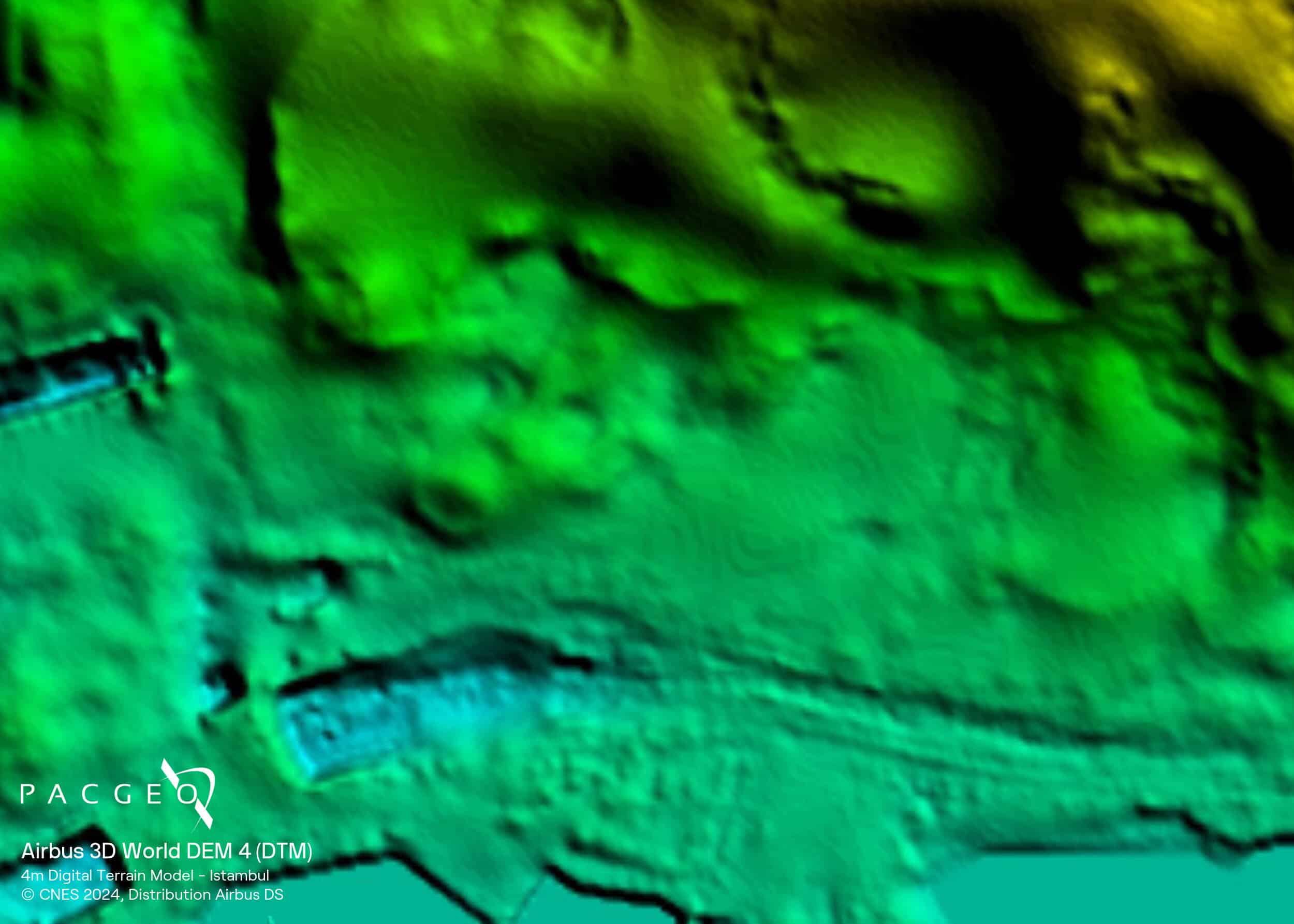
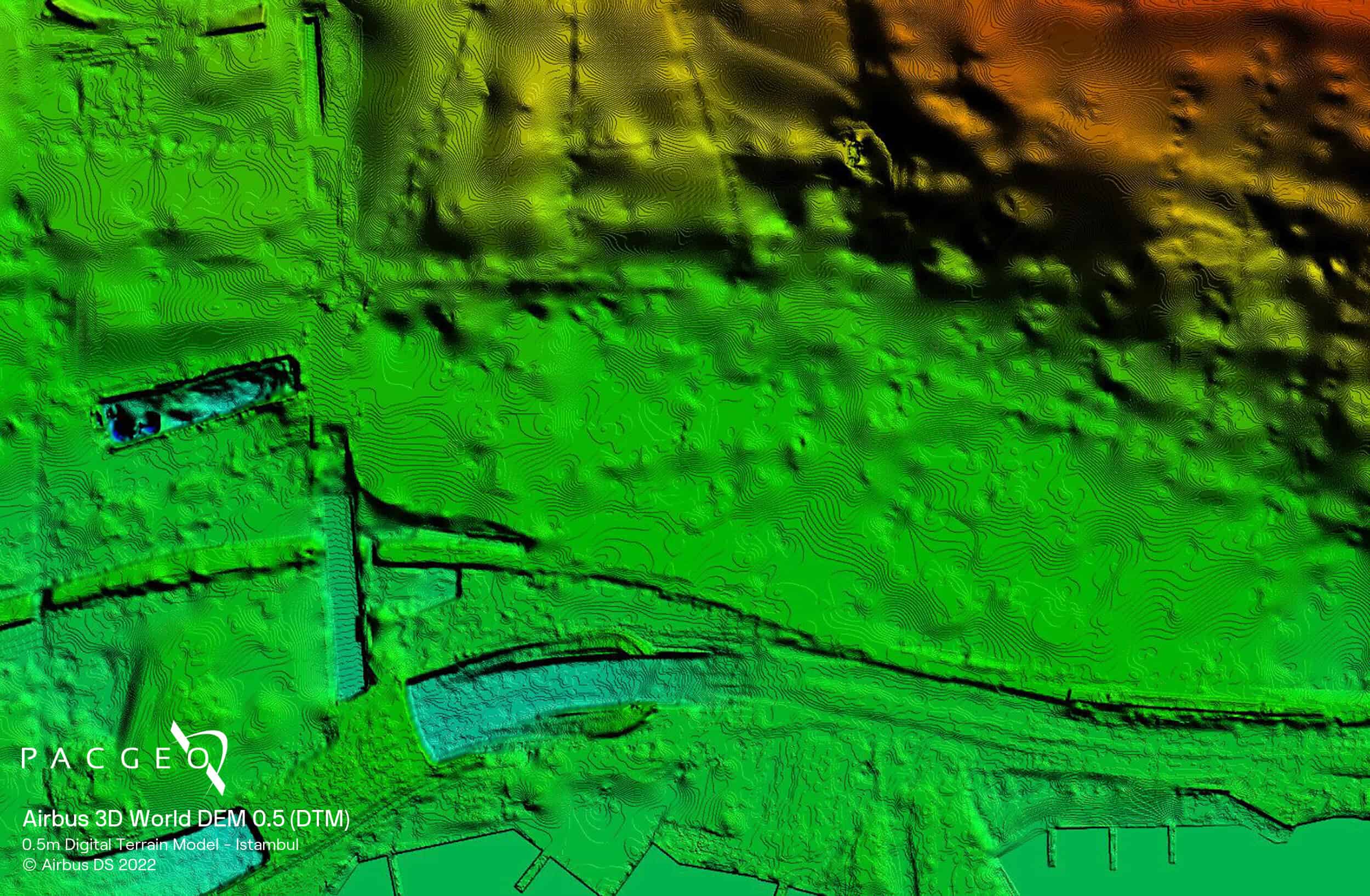
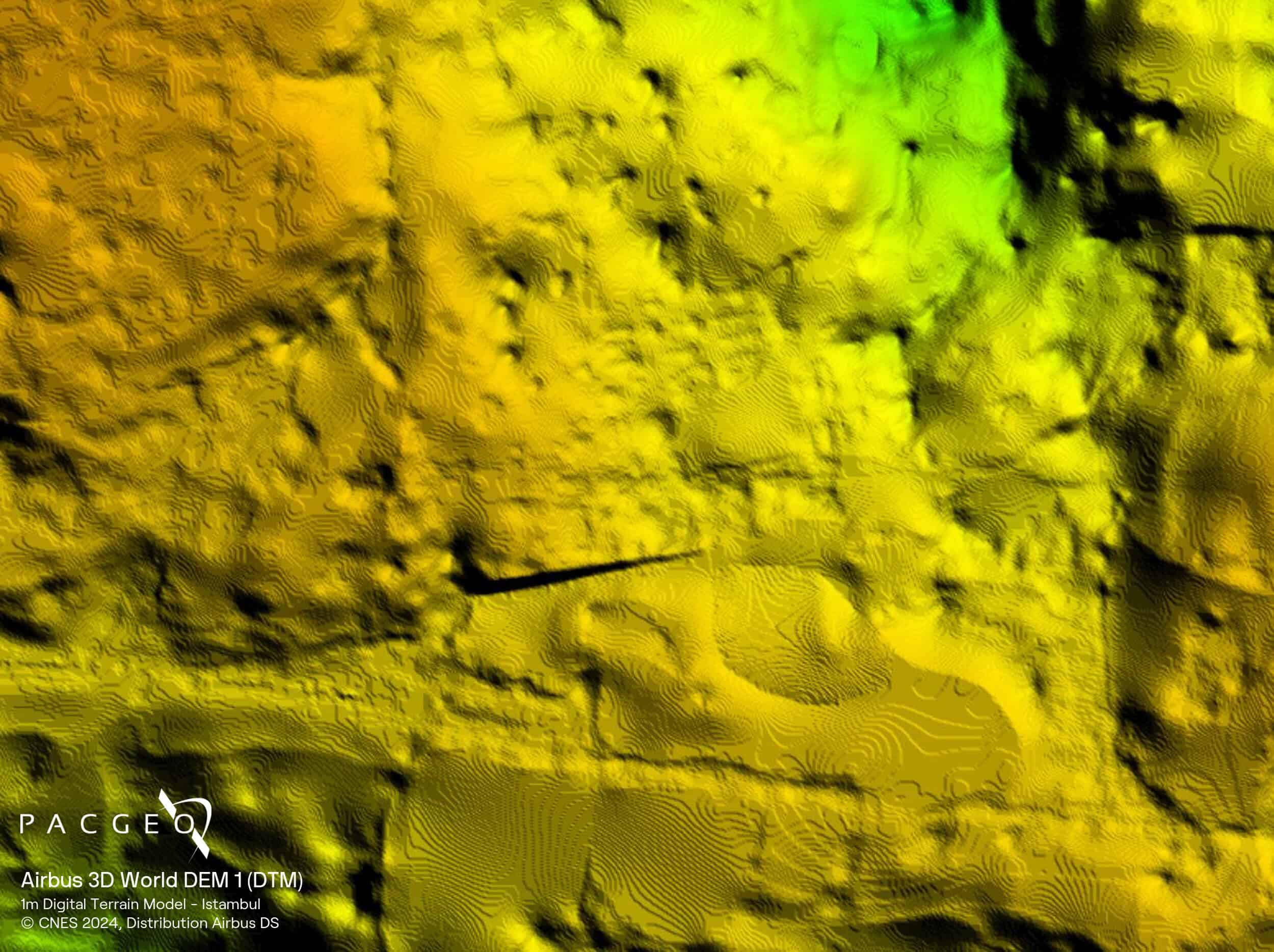
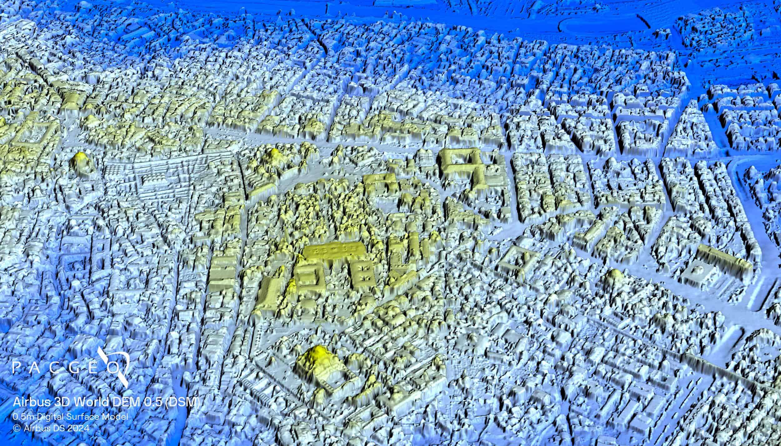
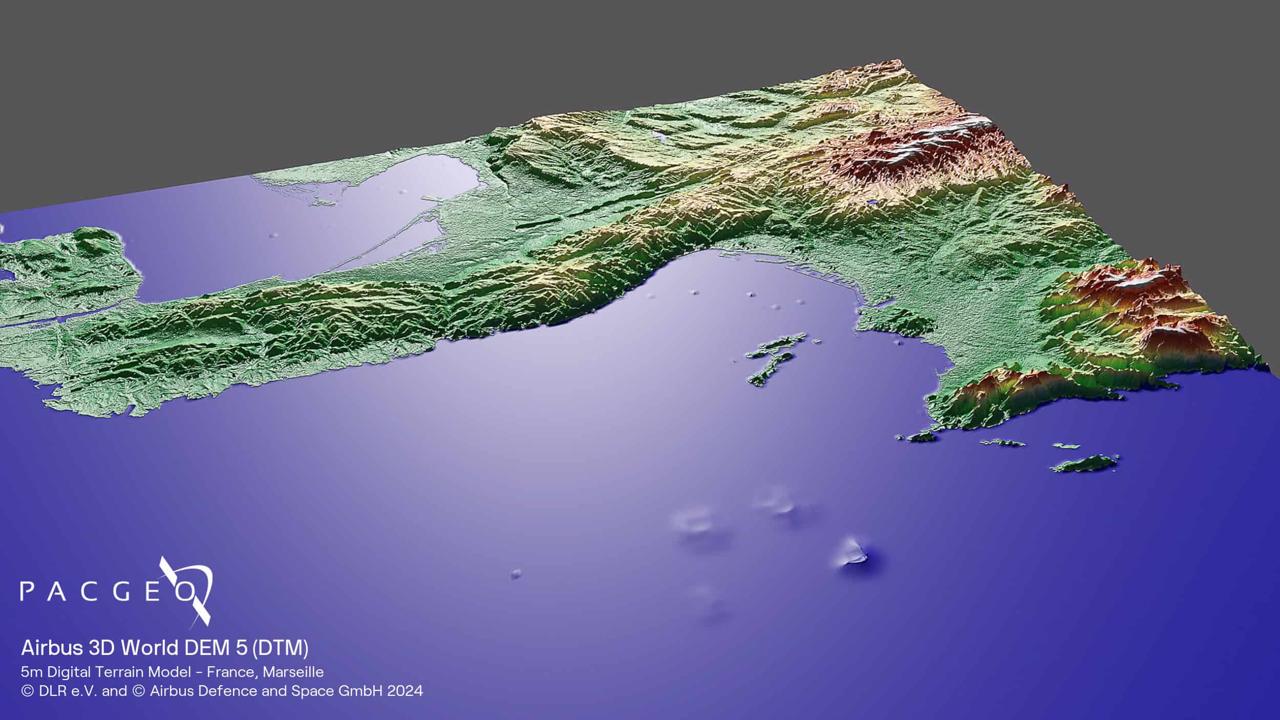
DEM 5 (formerly WorldDEM Neo) is the global, off-the-shelf elevation dataset built from Airbus’ TanDEM-X and TerraSAR-X radar missions, with coverage recomputed from 2021–2025 data. DEM 1 and DEM 0.5 (formerly Elevation 1 and Elevation 0.5) are produced on demand, so customers get fresh data acquisitions over their area of interest. DEM 0.5 is based on Pléiades Neo 30 cm imagery and delivers photorealistic 3D quality, capturing trees, buildings, and infrastructure with industry-leading detail.
From global reference layers to high-resolution, tasked elevation data, Airbus 3D World provides a consistent and scalable foundation for mineral exploration, infrastructure planning, line-of-sight analysis, hydrological modelling, and defence operations.
DEM 5, DEM 1, DEM 0.5 — DSM or DTM
DEM 5: global, off-the-shelf
DEM 1 & DEM 0.5: on-demand tasking acquisitions
Optional GCPs on DEM 1 & DEM 0.5
Optional add-on: ortho or primary imagery
3D World Specs
Product type
Digital Elevation Models (DEM):
Digital Surface Model (DSM)
Digital Terrain Model (DTM)
Spatial resolution
DEM 5 — 5 m
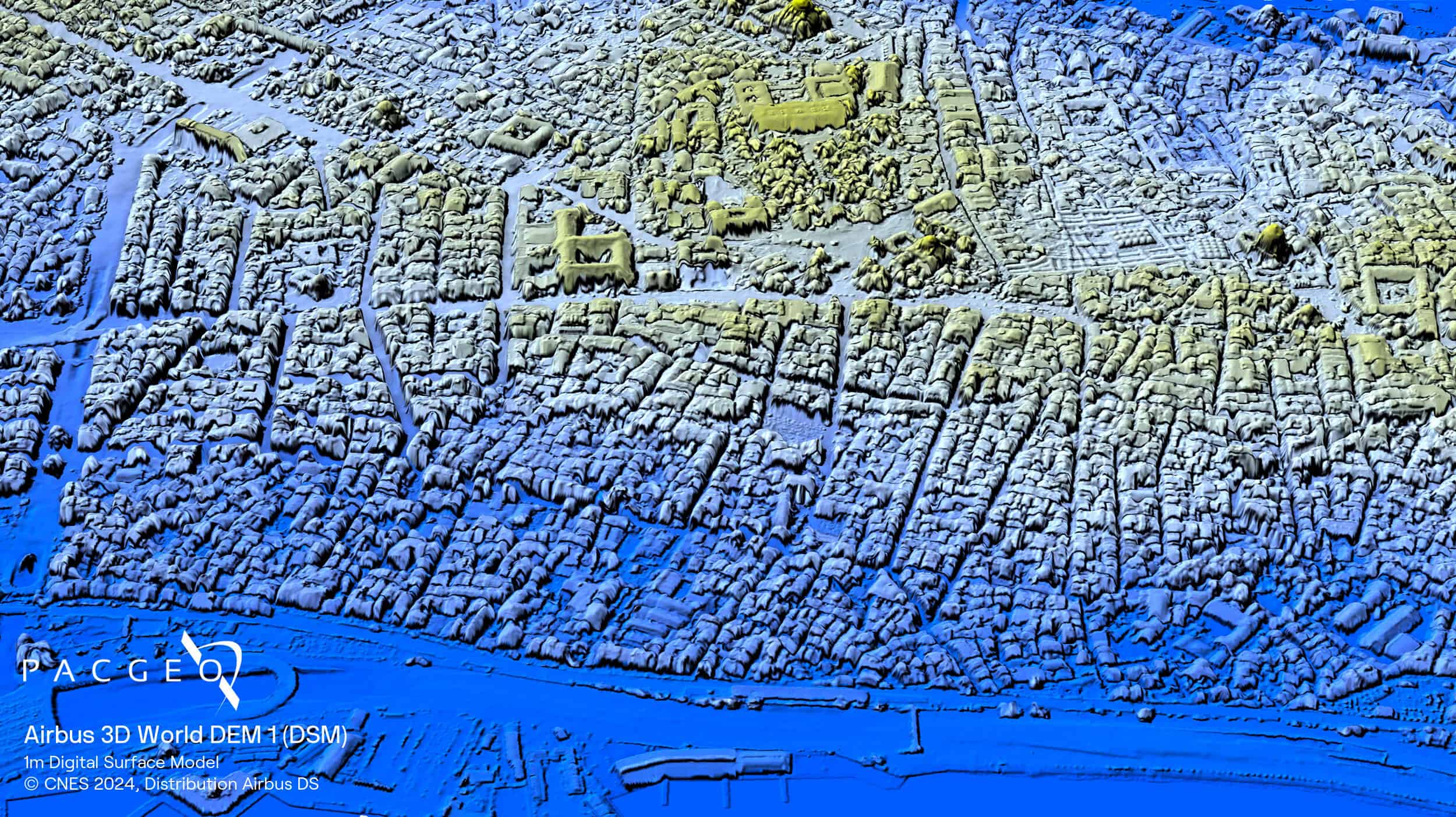
DEM 1 — 1 m
DEM 0.5 — 0.5 m
Coverage
DEM 5: Global, off-the-shelf
DEM 1 & DEM 0.5: Global, on-demand (up-to-date data acquisitions)
Satellite data
DEM 5: TanDEM-X / TerraSAR-X (acquired 2017–2025)
DEM 1: Pléiades / Pléiades Neo stereo & tri-stereo imagery
DEM 0.5: Pléiades Neo 30 cm stereo & tri-stereo imagery
Accuracy
DEM 5 (without GCPs):
Absolute: 1.5 m LE90 / 6 m CE90
Relative: 2/4 m LE90 (slope dependent)
DEM 1 (with GCPs):
Absolute: 1.5 m LE90
DEM 0.5 (with GCPs):
Absolute: 1 m LE90
Relative: 1 m LE90
Minimum AOI
DEM 5 DSM: 100 km²
DEM 5 DTM (Level 1): 1,000 km²
DEM 5 DTM (Level 2): 100 km²
DEM 1 & DEM 0.5: Flexible
Format
GeoTIFF, 32-bit float
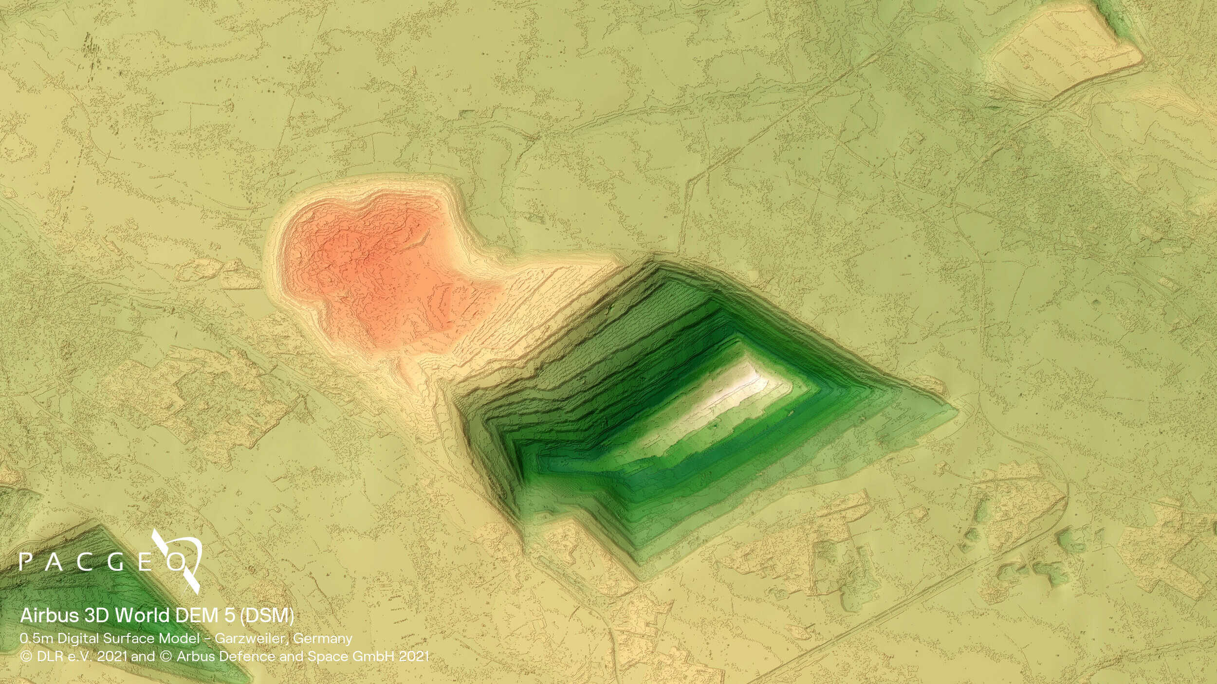
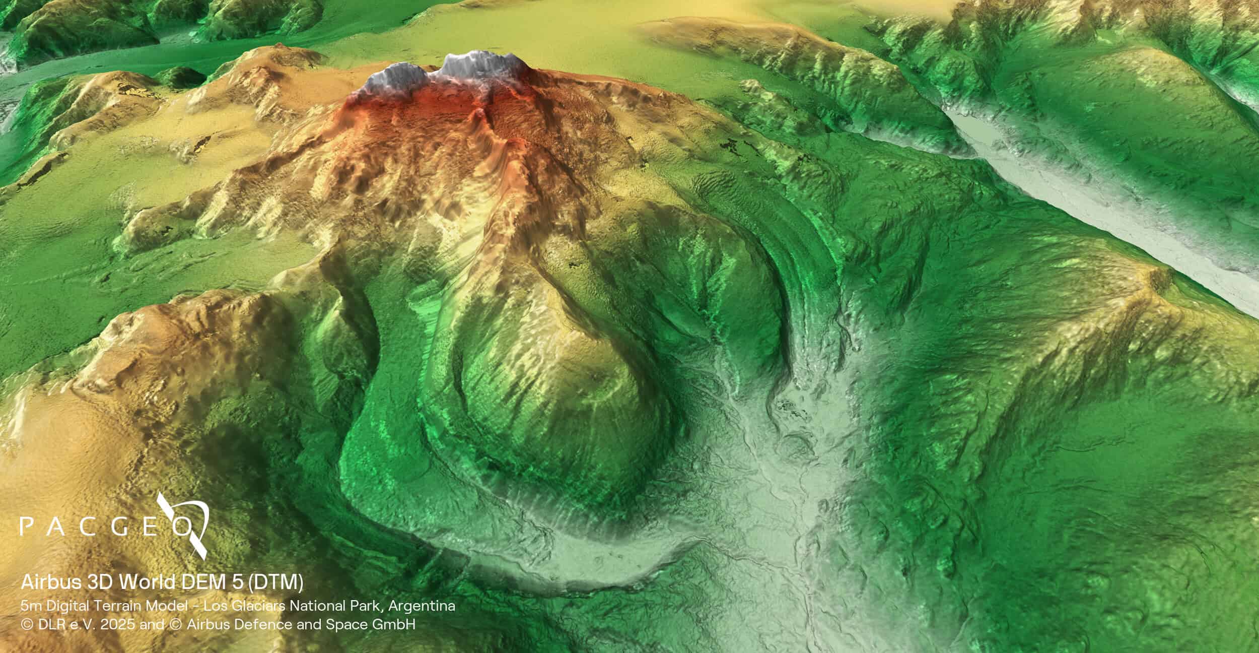
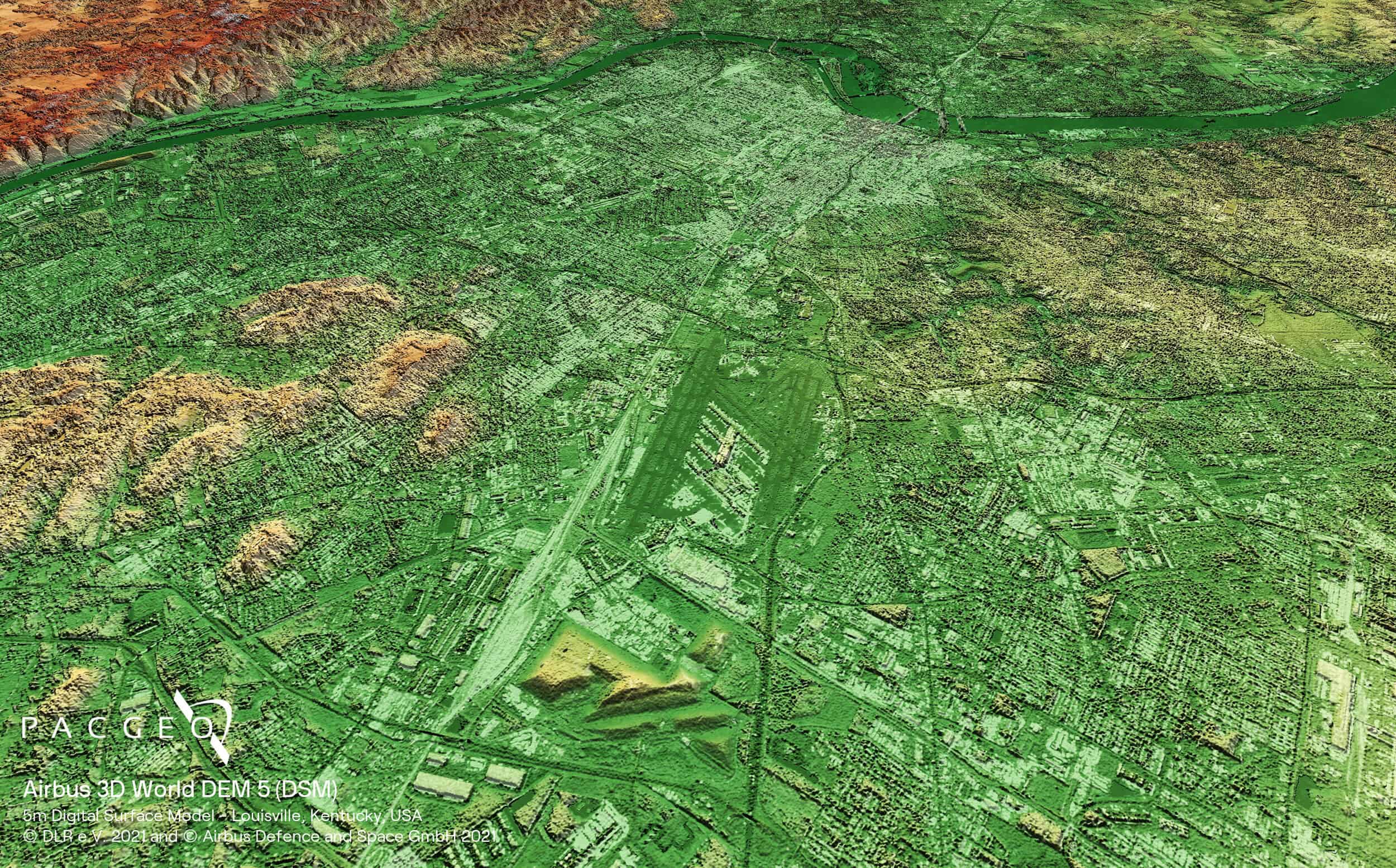
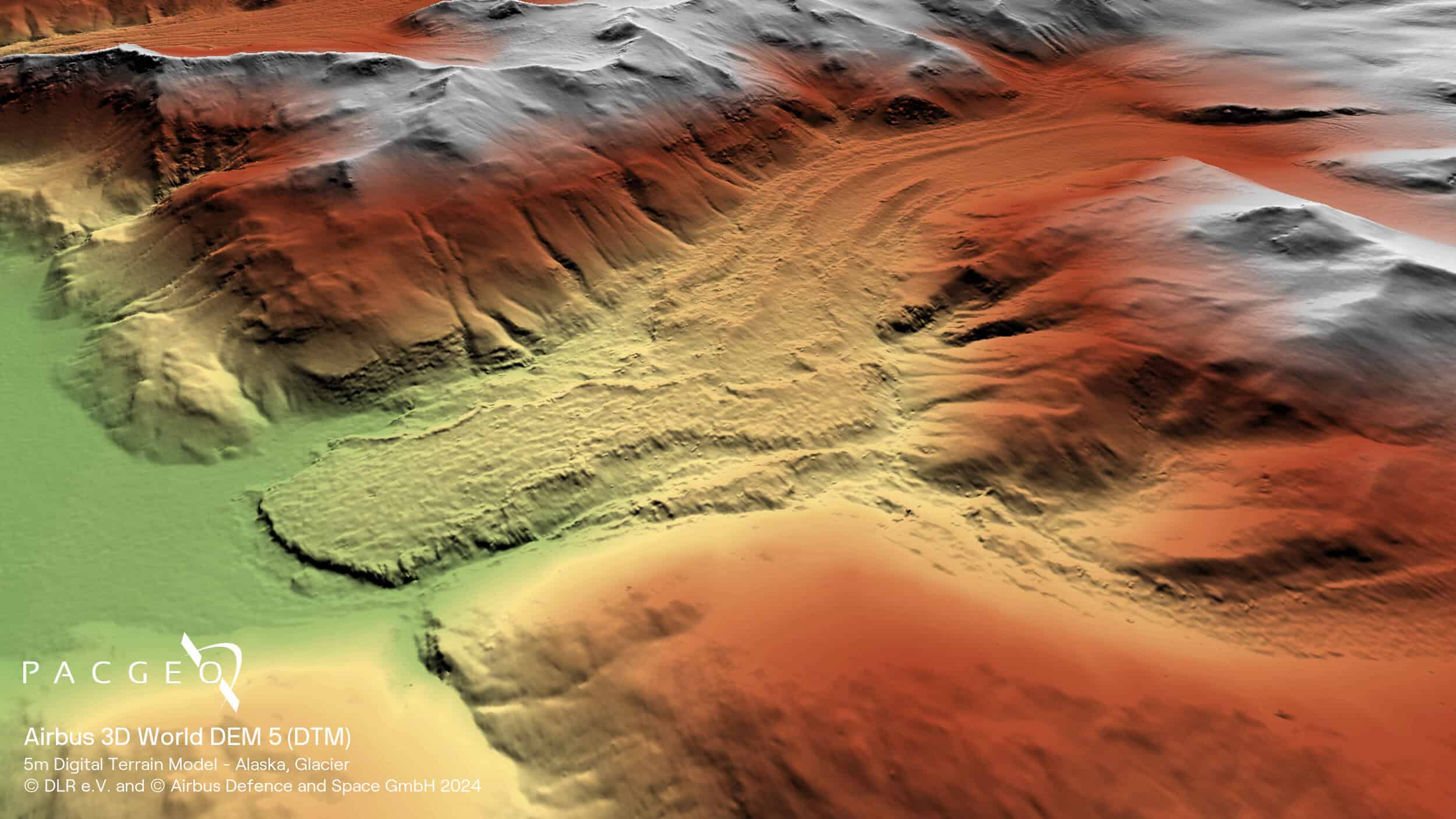
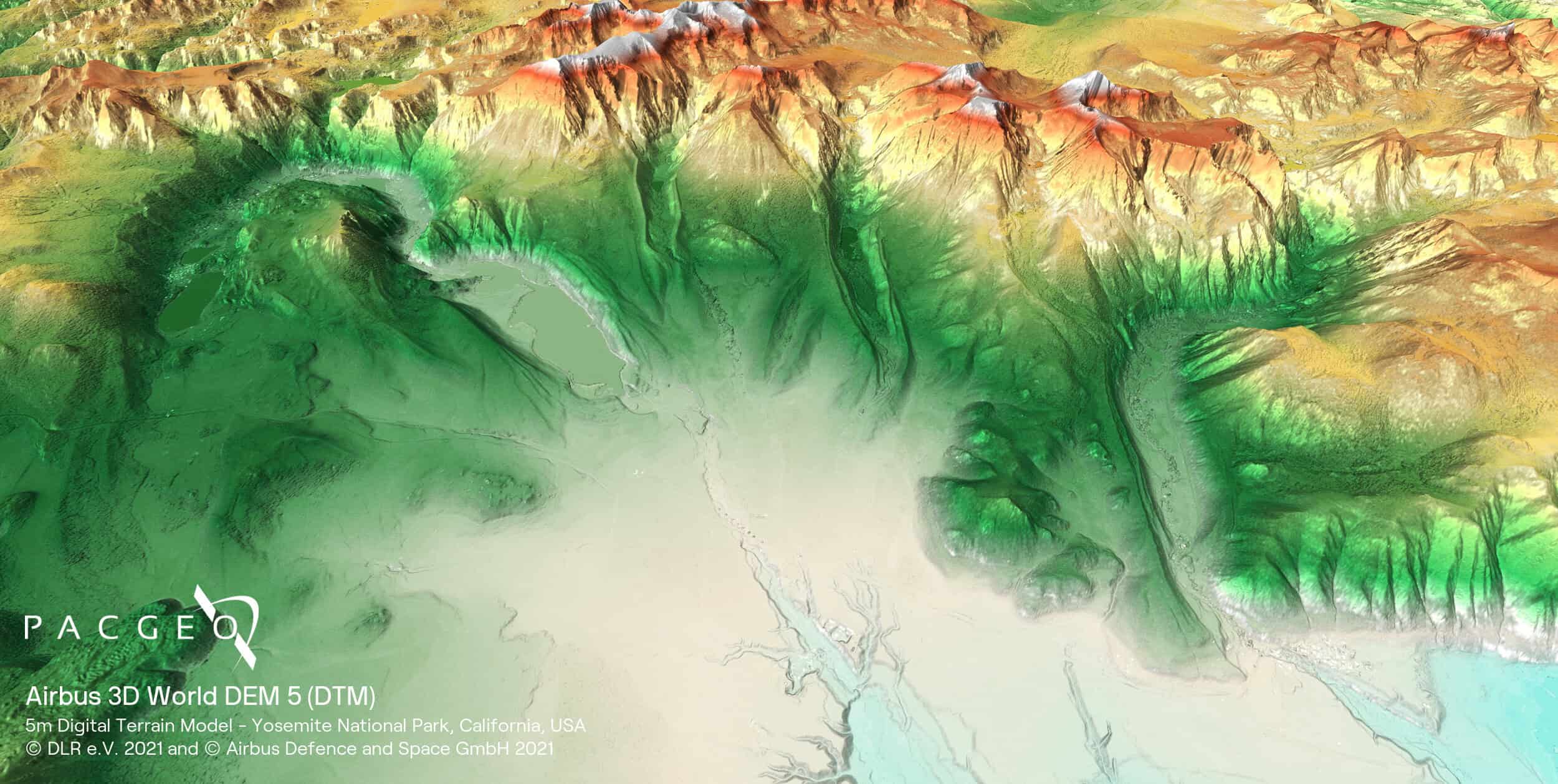
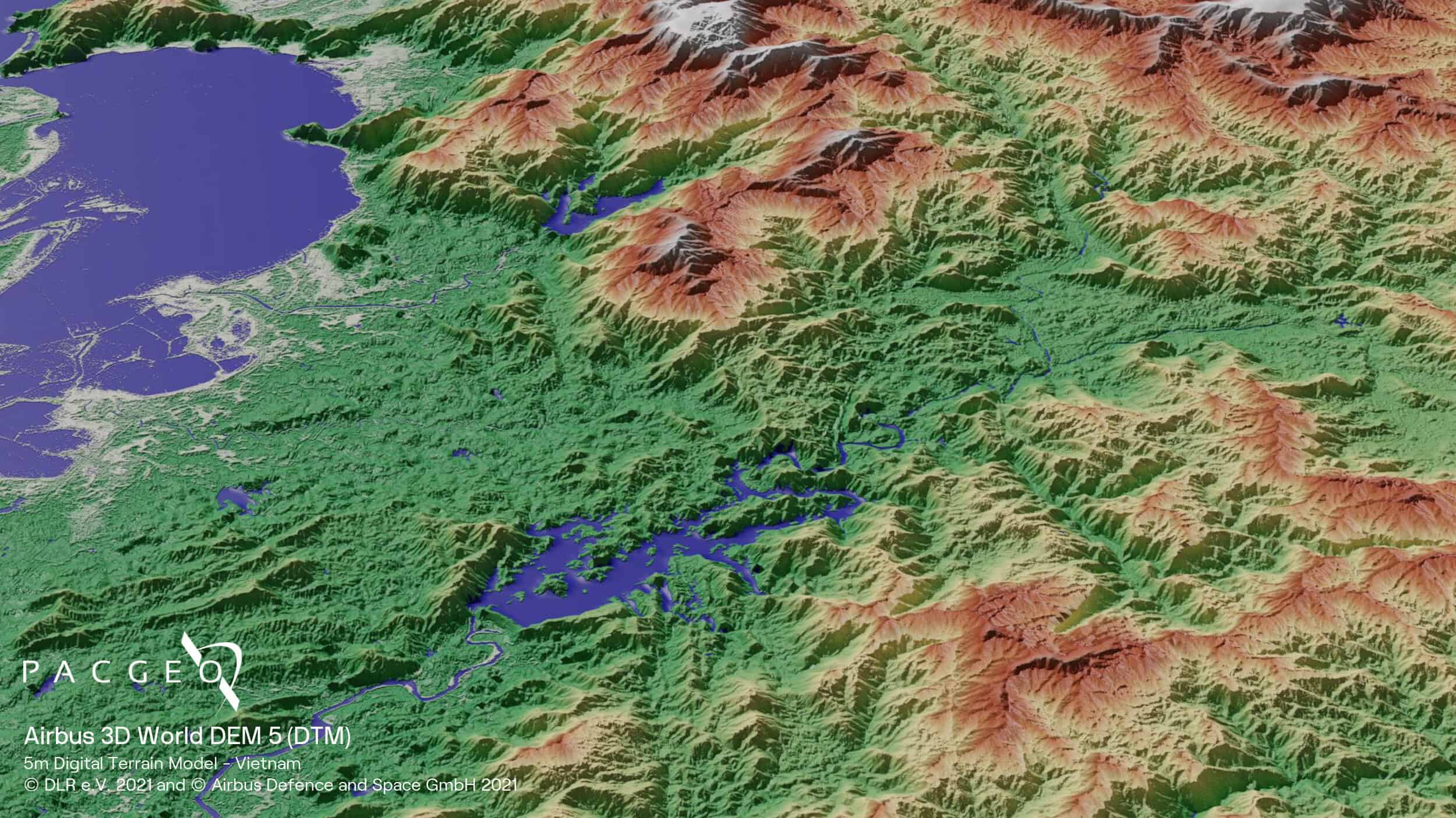
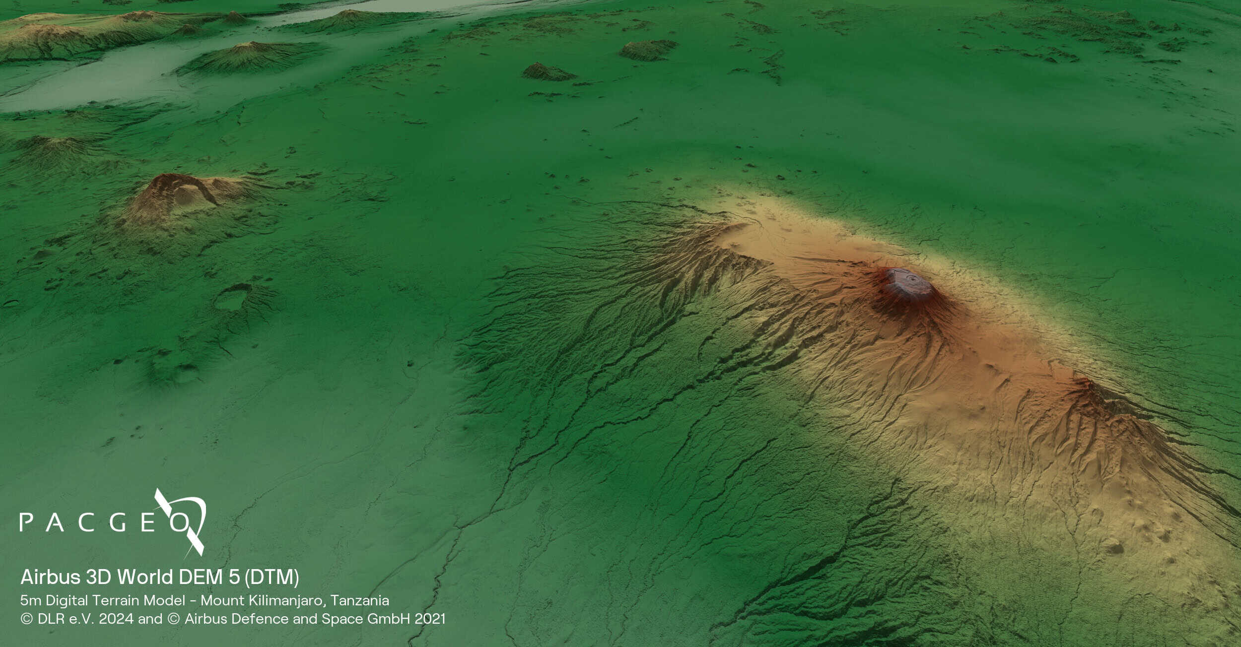
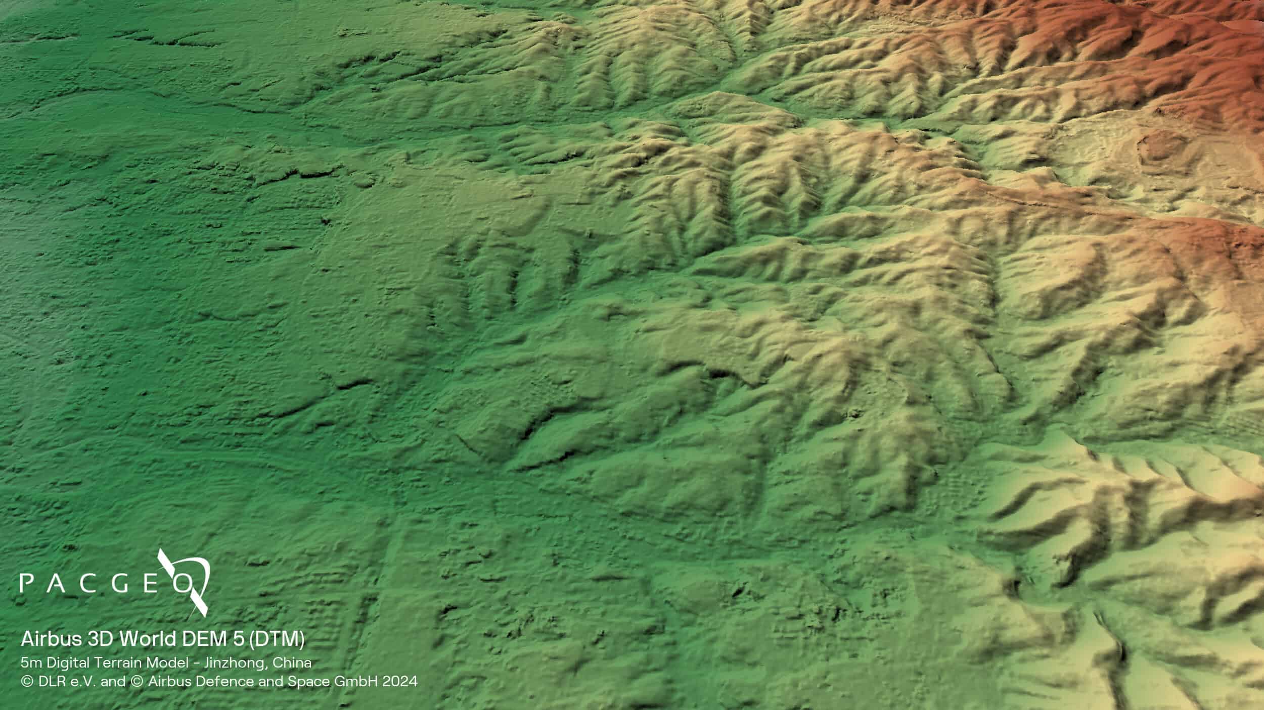
3D World Samples

Unsure if 3D World is right for your project?
You shouldn’t have to be an expert in high-resolution satellite imagery to find what you need.
Our team is dedicated to making the process easy for you. All you have to do is tell us the problem. We find the answers from a vendor-agnostic perspective and present you with clear, simple solutions.
Tell us the problem
Explain the situation to us on your terms. We’ll translate it into the world of Satellite Imagery.
Review Your Options
Be presented with a simple choice of the top 2-3 imagery solutions for your project.
Make confident decisions
Know you have the right data in hand to make the critical decisions that keep your project moving forward.


