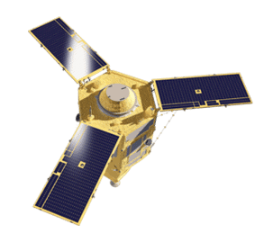
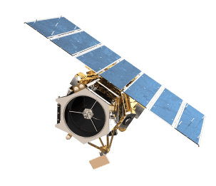
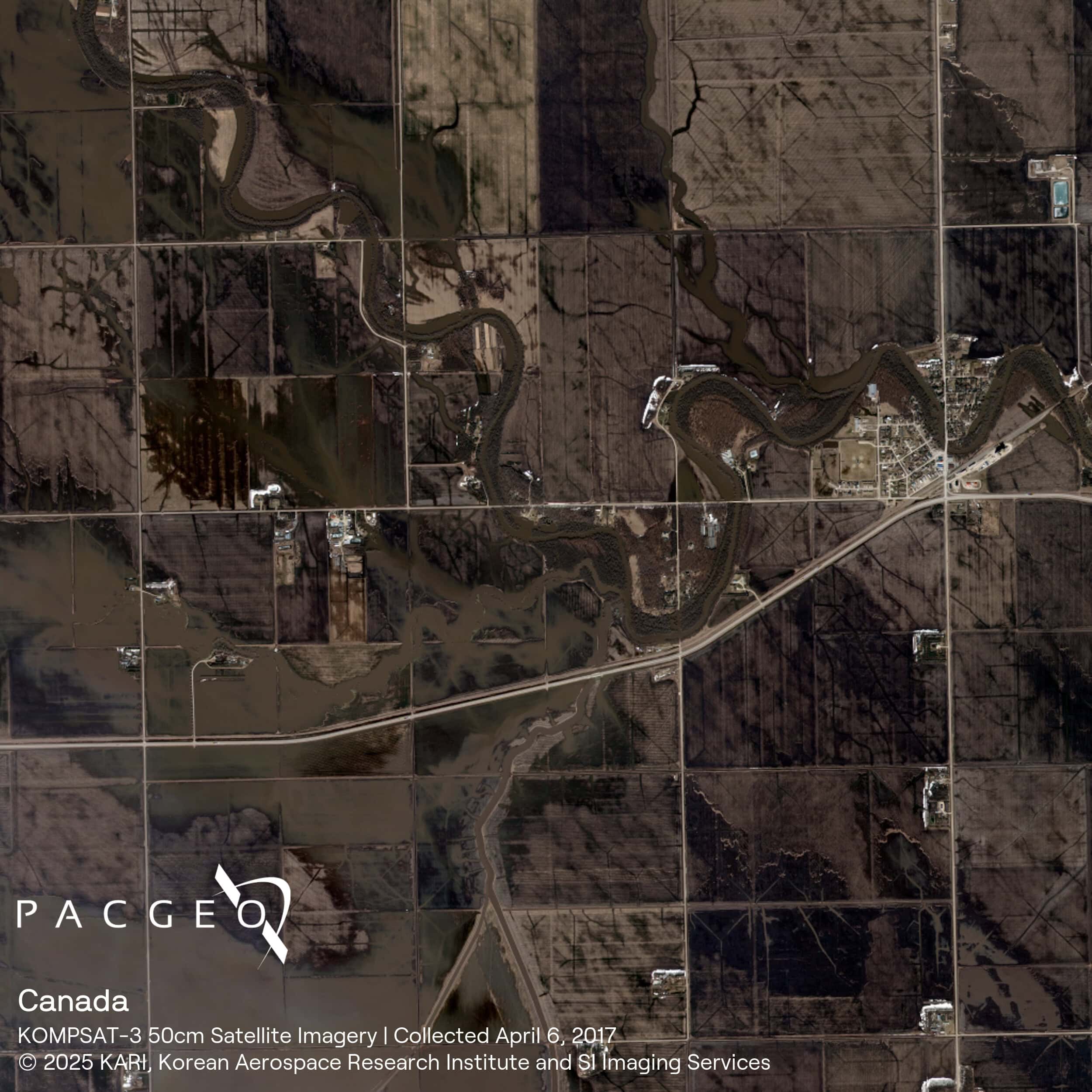
KOMPSAT-3
KOMPSAT-3 is a Korean satellite operated by SI Imaging Services (SIIS). It provides enhanced 50 cm panchromatic and 2 m multispectral resolution imagery across visible and near-infrared bands. With a swath width of 16 km and single-pass stereo collection capability, KOMPSAT-3 is well-suited for government projects, large-area mapping, oil and gas operations, and frequent monitoring. Its 14-bit data depth helps retain image detail in shadowed areas and supports consistent colour representation.
Well-suited for broad-area mapping with consistent detail
High-resolution imagery for detailed land surface analysis
Reliable data-extraction from shadowed regions
In-orbit stereo collection

KOMPSAT-3 Specs
Sensor type
Optical
Resolution
Panchromatic: 50cm (Oversampled), 70cm (Native)
Multispectral: 2m (Oversampled), 2.8m (Native)
Swath width
16 km at nadir
Bands
Panchromatic: 450 - 900 nm
Blue: 450 - 520 nm
Green: 520 - 600 nm
Red: 630 - 690 nm
Near-infrared: 760 - 900 nm
Orbit
Altitude: 685 km
Type: Sun-synchronous
Acquisition
Mono, stereo
Accuracy
< 30.19 m CE90
19.9 m RMSE
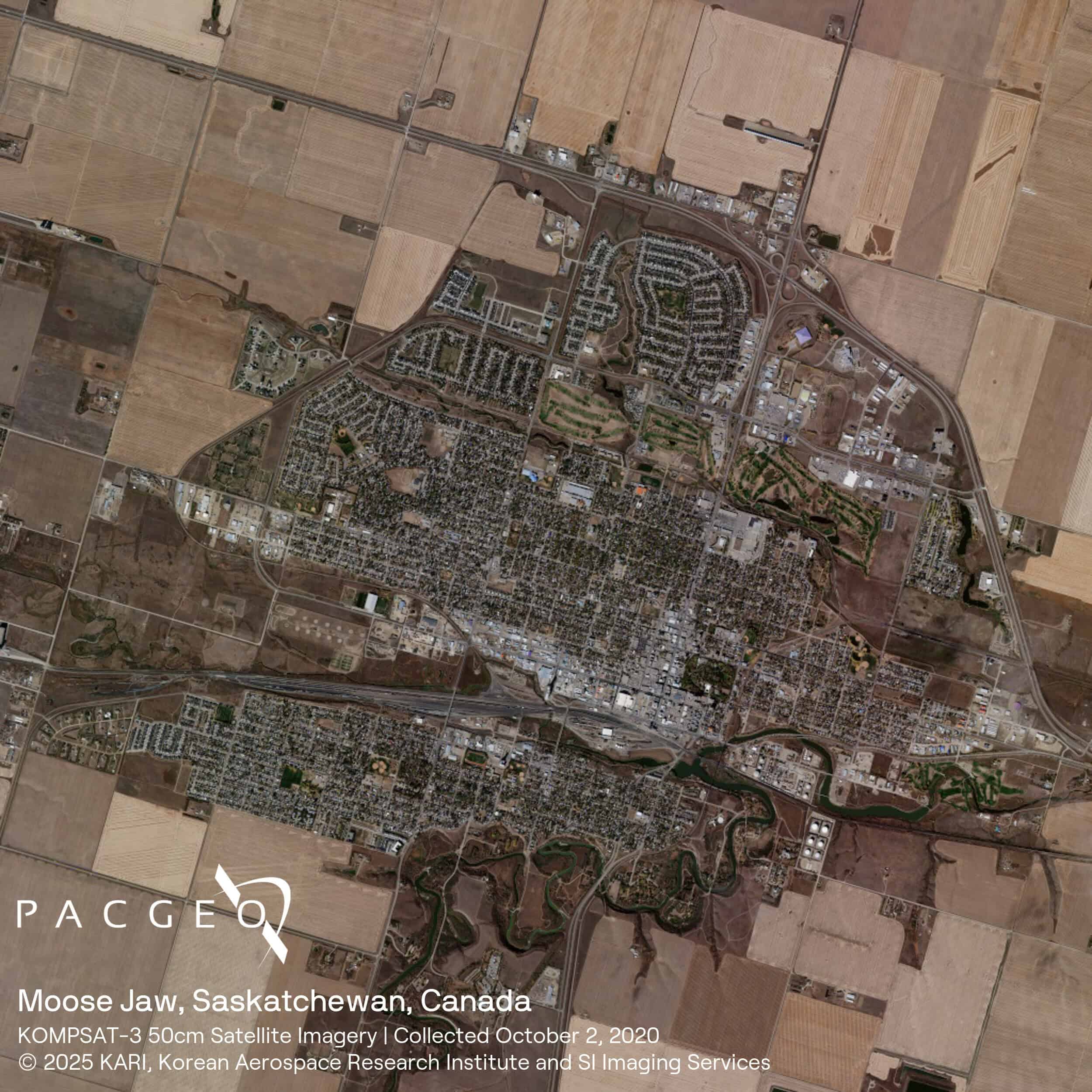
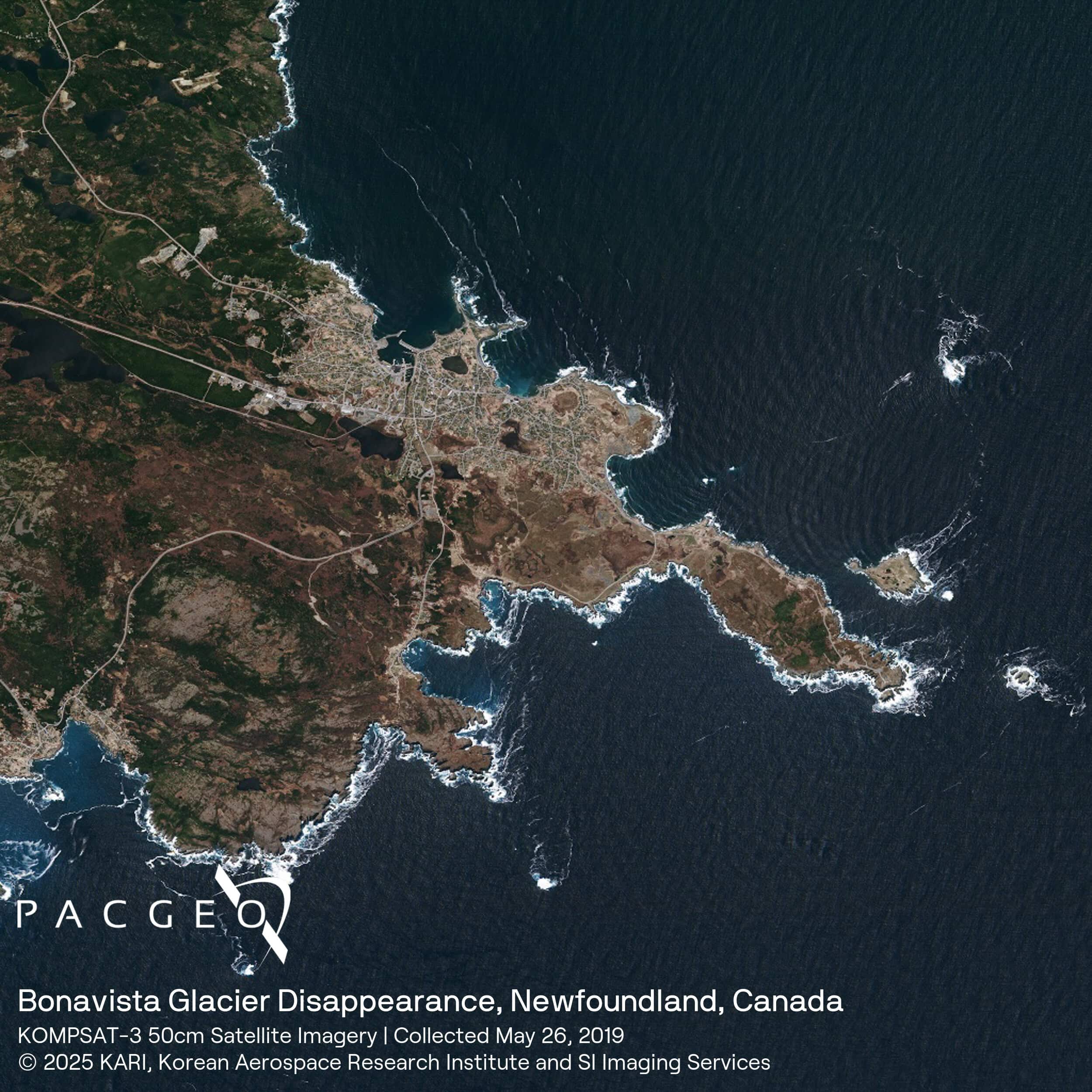
KOMPSAT-3 Samples


Unsure if KOMPSAT-3 is right for your project?
You shouldn’t have to be an expert in high-resolution satellite imagery to find what you need.
Our team is dedicated to making the process easy for you. All you have to do is tell us the problem. We find the answers from a vendor-agnostic perspective and present you with clear, simple solutions.
Tell us the problem
Explain the situation to us on your terms. We’ll translate it into the world of Satellite Imagery.
Review Your Options
Be presented with a simple choice of the top 2-3 imagery solutions for your project.
Make confident decisions
Know you have the right data in hand to make the critical decisions that keep your project moving forward.