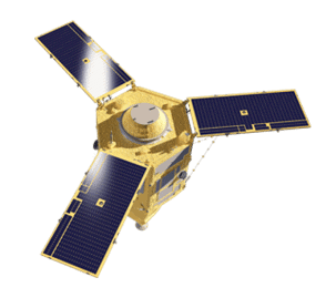
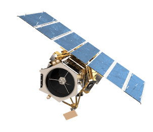
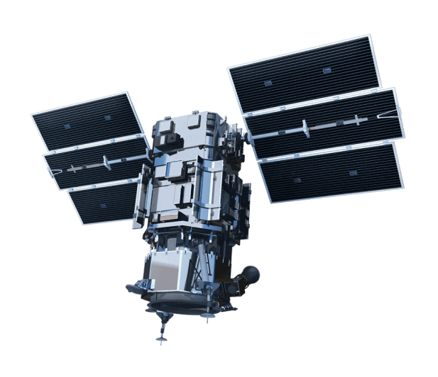
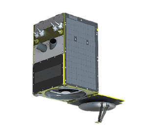
SkySat
SkySat high-resolution imagery provides near real-time intelligence so that you can identify blind spots, anticipate events, and make your next mission-critical decision with confidence. Organizations who need continuous, accurate views of rapidly changing ground conditions gain intelligence and visibility on their terms. Planet’s ~15 SkySats can revisit and point on Earth twice a day at 50 cm spatial resolution, with exceptionally high frequency. Acquire site-specific data in closer detail and make informed decisions based on the latest data available.
Rapid revisit
High resolution
Rapid delivery
Excels at monitoring
SkySat Specs
Sensor type
Optical
Resolution
Panchromatic: 50 cm
Multispectral: 50 cm
Swath width
5.9 km at nadir
Bands
Pan: 450 - 900 nm
Blue: 450 - 515 nm
Green: 515 - 595 nm
Red: 605 - 695 nm
Near-IR: 740 - 900 nm
Orbit
Altitude: ≈ 450 km
Type: Sun-synchronous
Accuracy
< 50m RMSE
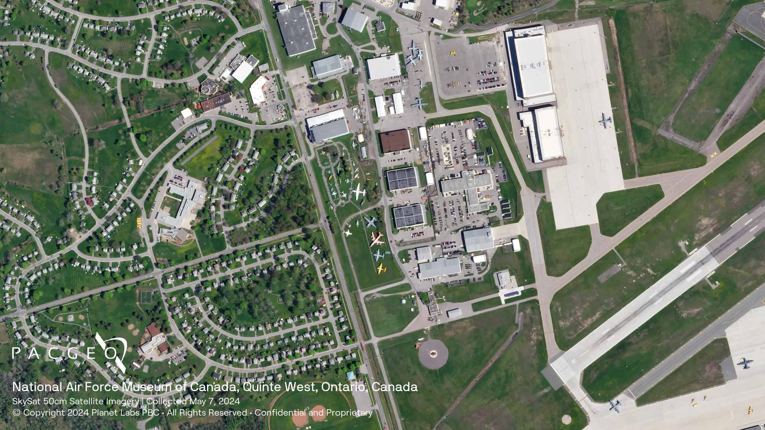
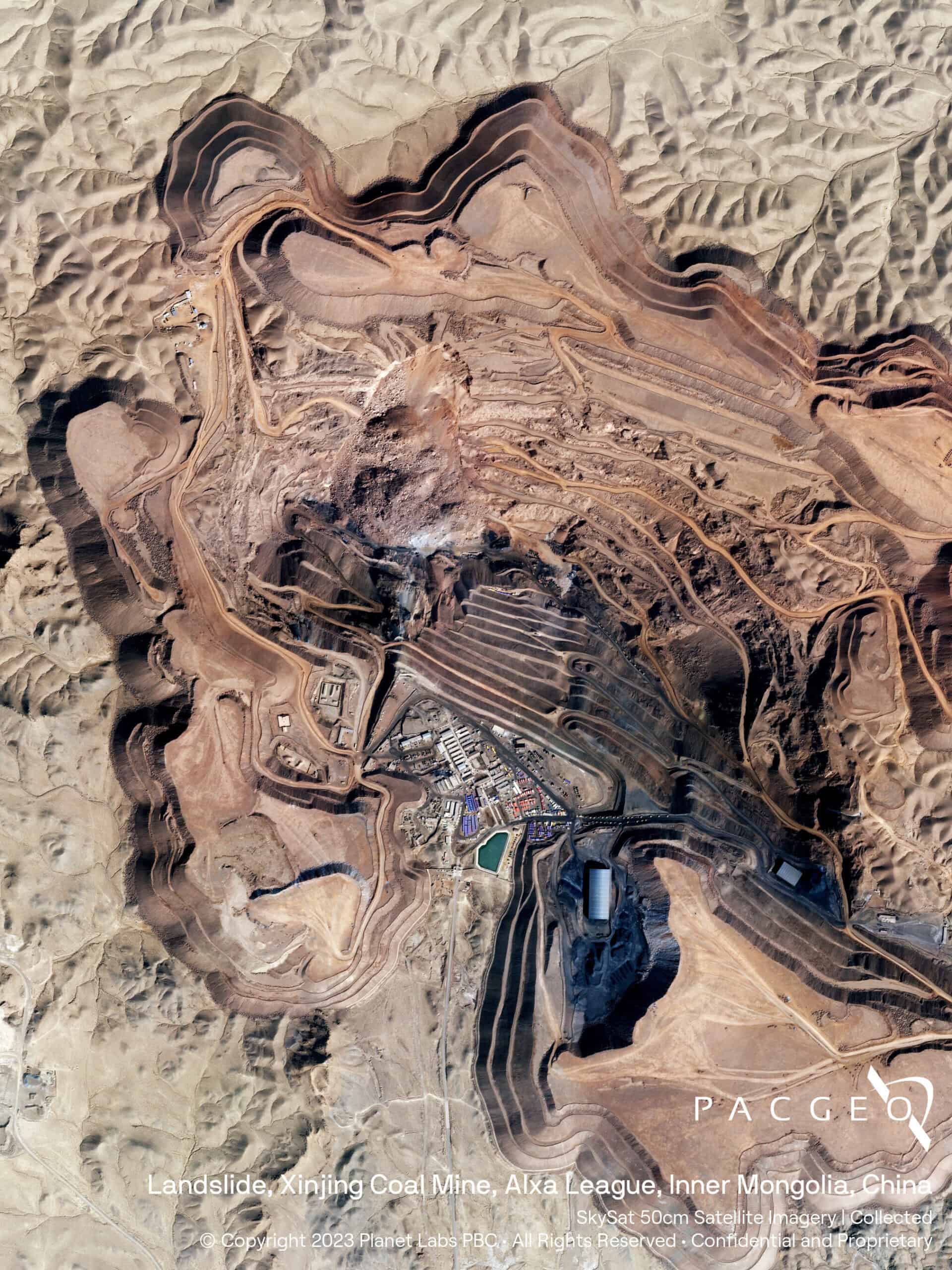
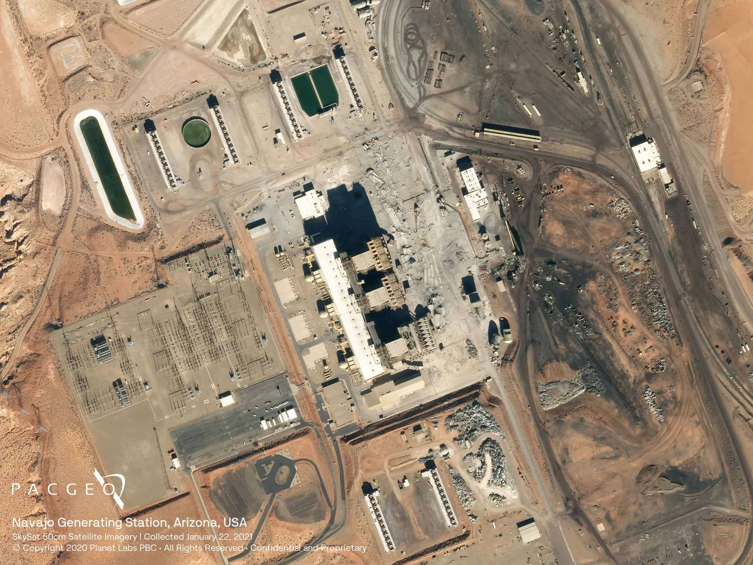
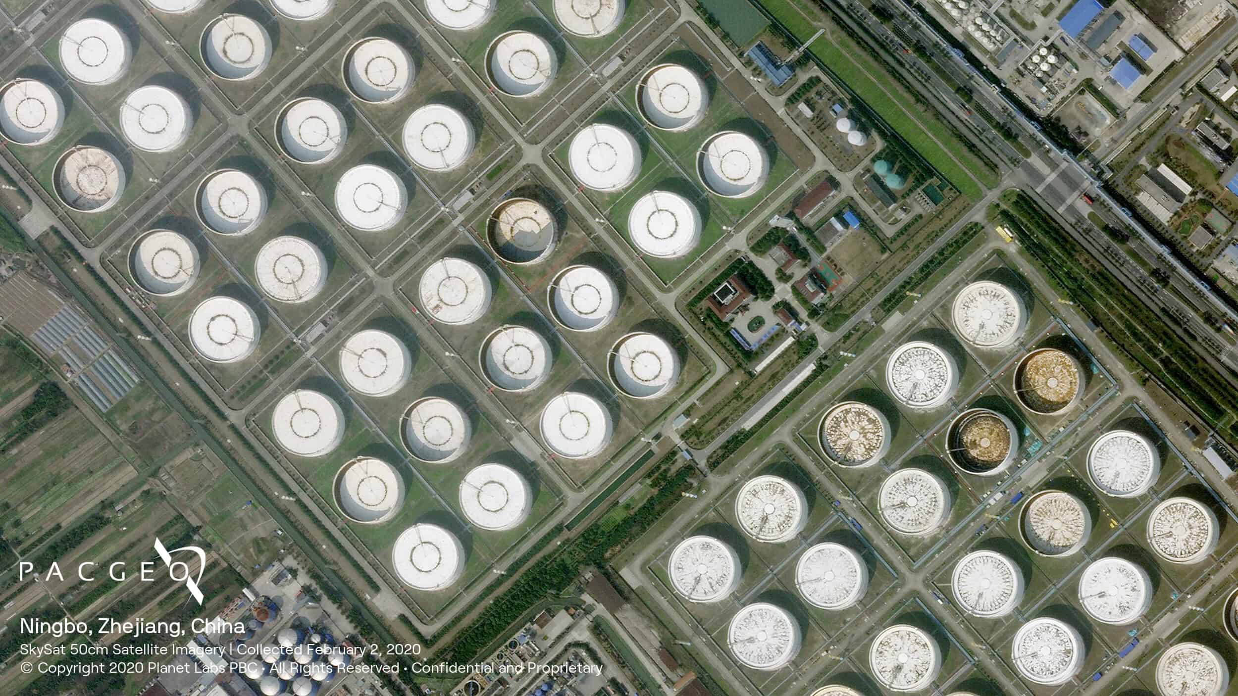
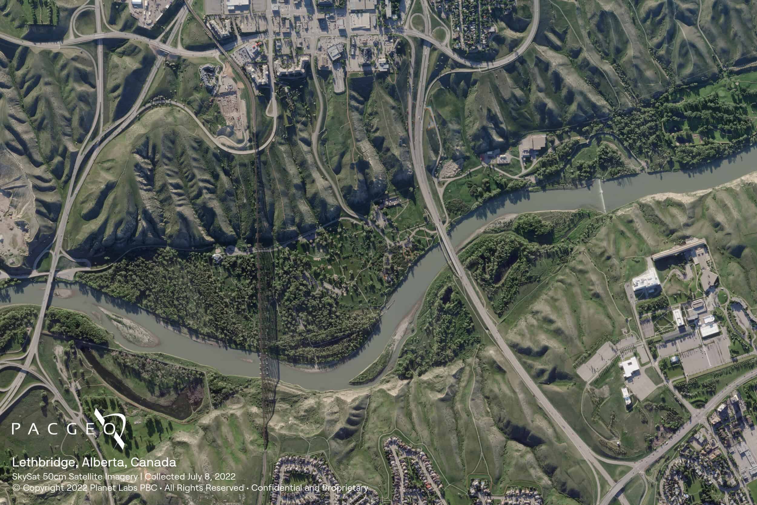
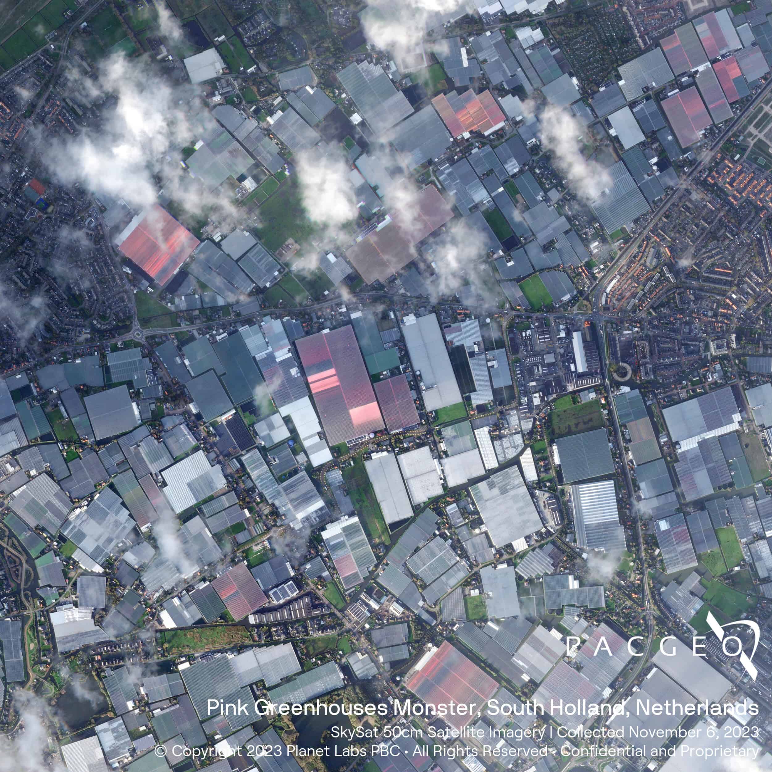
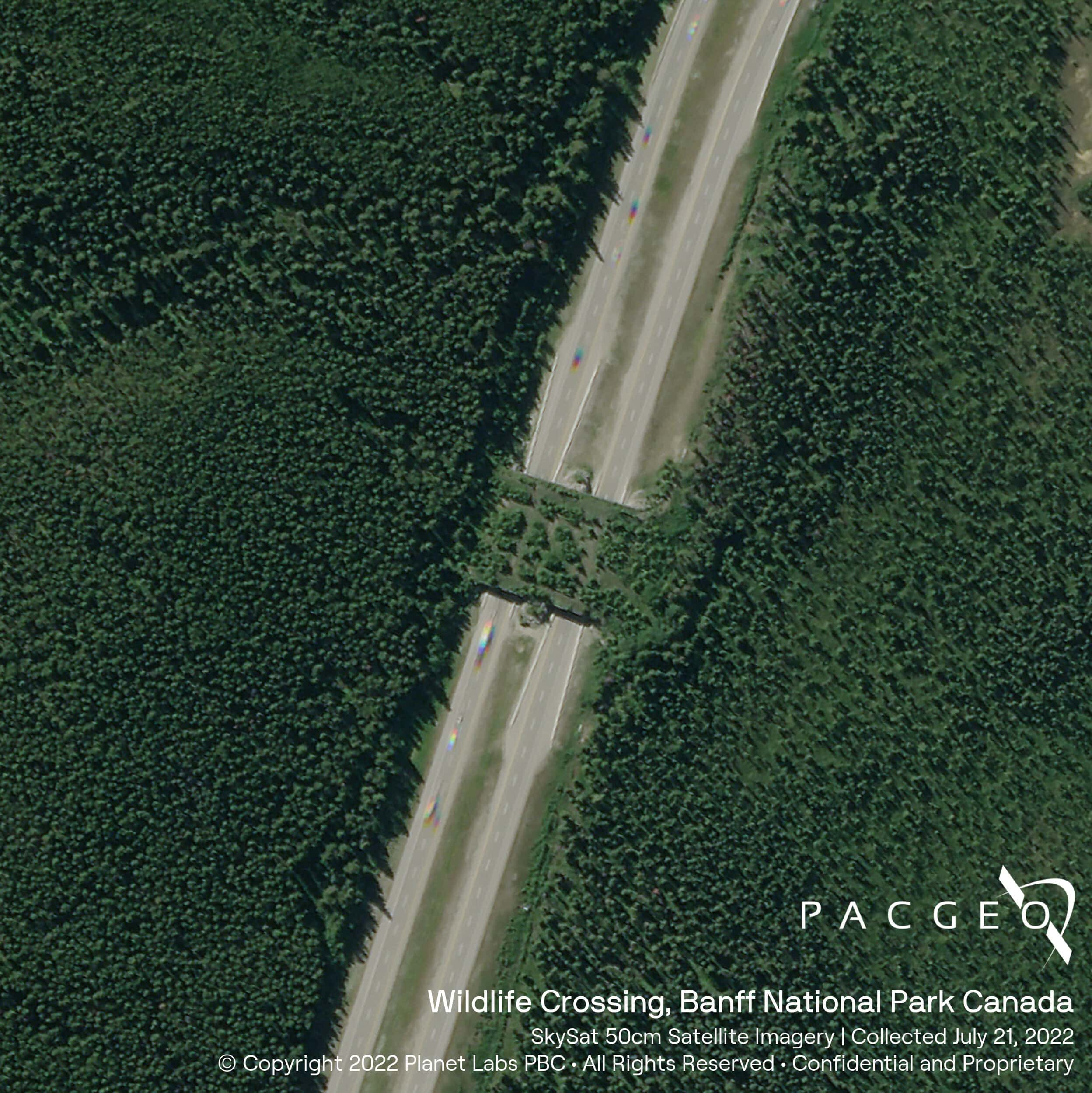
SkySat Samples


Unsure if SkySat is right for your project?
You shouldn’t have to be an expert in high-resolution satellite imagery to find what you need.
Our team is dedicated to making the process easy for you. All you have to do is tell us the problem. We find the answers from a vendor-agnostic perspective and present you with clear, simple solutions.
Tell us the problem
Explain the situation to us on your terms. We’ll translate it into the world of Satellite Imagery.
Review Your Options
Be presented with a simple choice of the top 2-3 imagery solutions for your project.
Make confident decisions
Know you have the right data in hand to make the critical decisions that keep your project moving forward.