
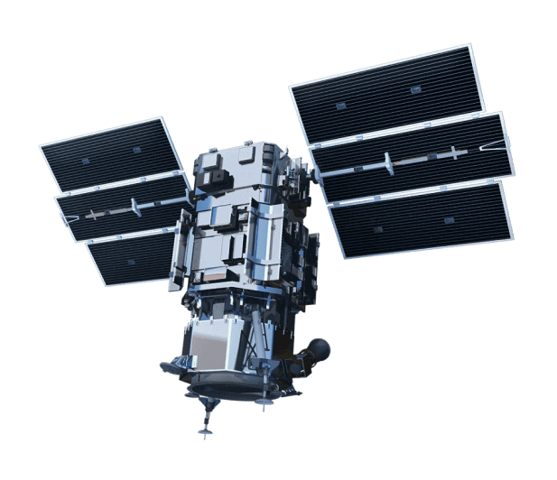
PlanetScope
This constellation of approximately 130 satellites is constantly growing and improving, thanks to ongoing technology deployments. Combined, the constellation can image the entire land surface of Earth each day.
Land-cover maps
Land change detection maps
Vegetation monitoring

PlanetScope Specs

Launch Information
First launch 2016; ongoing

Orbit
475 km, Orbit type: Sun-synchronous

Spacecraft Size, Mass and Power
Mass: 110 kg
Dimensions: 10 x 10 x 30 cm

Sensor Bands
8 (RGB, NIR)

Sensor Resolution
Three-band frame Imager or four-band frame Imager with a split-frame NIR filter (DOVE-C)
Four-band frame imager with butcher-block filter providing blue, green, red, and NIR stripes (DOVE-R)
Eight-band frame imager with butcher-block filter providing blue, green, red, red-edge, and NIR stripes (SuperDove)

Dynamic Range
16-bits per pixel

Swath Width
6.5m at nadir

Pointing Accuracy & Knowledge
Sensor-related effects are corrected using sensor telemetry and a sensor model. Spacecraft-related effects are corrected using attitude telemetry and best available ephemeris data. Orthorectified using GCPs and fine DEMs (30 m to 90 m posting) to <10 m RMSE positional accuracy

Retargeting Agility
Time to Slew 200 km: 10 sec

Onboard Storage
360 GB + 360 GB cold spare storage

Revisit Frequency
Daily at nadir (2017)

Geolocation
Accuracy (CE90)
Demonstrated <3.5 m CE90 without ground control

Capacity
350M+ km2/day
Unsure if
PlanetScope is right
for your project?
You shouldn’t have to be an expert in high-resolution satellite imagery to find what you need.
Our team is dedicated to making the process easy for you. All you have to do is tell us the problem. We find the answers from a vendor-agnostic perspective and present you with clear, simple solutions.
Tell us the problem
Explain the situation to us on your terms. We’ll translate it into the world of Satellite Imagery.
Review Your Options
Be presented with a simple choice of the top 2-3 imagery solutions for your project.
Make confident decisions
Know you have the right data in hand to make the critical decisions that keep your project moving forward.
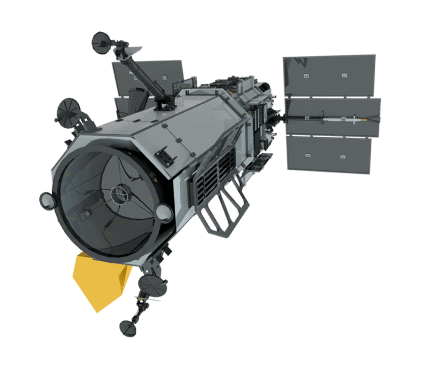
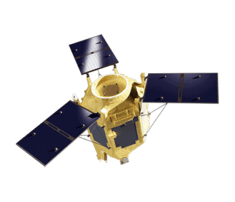
Other Satellites
When we need high-resolution satellite imagery, we trust Pacgeo for their quality imagery and reliable turnaround times.
David Bluestone
Vice President of Exploration, Bluestone Resources
Ordering high-res satellite imagery through a partner agency order desk was always painful and fraught with multiple issues. Dealing directly with Pacgeo allows me to bypass the aforementioned issues, while getting quick and reliable access to the data I need.
Government Employee
Government of Canada
